37 Log Cabin Ln Shapleigh, ME 04076
Shapleigh NeighborhoodEstimated Value: $348,000 - $385,000
--
Bed
--
Bath
624
Sq Ft
$590/Sq Ft
Est. Value
About This Home
This home is located at 37 Log Cabin Ln, Shapleigh, ME 04076 and is currently estimated at $368,269, approximately $590 per square foot. 37 Log Cabin Ln is a home located in York County with nearby schools including Massabesic High School.
Ownership History
Date
Name
Owned For
Owner Type
Purchase Details
Closed on
Mar 19, 2025
Sold by
Shaw Michael A and Shaw Elaine A
Bought by
Shaw Ft and Shaw
Current Estimated Value
Purchase Details
Closed on
Jul 13, 2018
Sold by
Rouillard Mark R
Bought by
Shaw Elaine A and Shaw Michael A
Purchase Details
Closed on
Sep 21, 2011
Sold by
Cate Dereck and Cate Richard H
Bought by
Rouillard Mark R
Home Financials for this Owner
Home Financials are based on the most recent Mortgage that was taken out on this home.
Original Mortgage
$151,805
Interest Rate
4.33%
Mortgage Type
Purchase Money Mortgage
Purchase Details
Closed on
Feb 22, 2007
Sold by
Richard Robert A and Devouton Thomas G
Bought by
Cate Richard H and Cate Andrea F
Home Financials for this Owner
Home Financials are based on the most recent Mortgage that was taken out on this home.
Original Mortgage
$26,625
Interest Rate
6.23%
Mortgage Type
FHA
Create a Home Valuation Report for This Property
The Home Valuation Report is an in-depth analysis detailing your home's value as well as a comparison with similar homes in the area
Home Values in the Area
Average Home Value in this Area
Purchase History
| Date | Buyer | Sale Price | Title Company |
|---|---|---|---|
| Shaw Ft | -- | None Available | |
| Shaw Ft | -- | None Available | |
| Shaw Ft | -- | None Available | |
| Shaw Elaine A | -- | -- | |
| Shaw Elaine A | -- | -- | |
| Shaw Elaine A | -- | -- | |
| Shaw Elaine A | -- | -- | |
| Rouillard Mark R | -- | -- | |
| Rouillard Mark R | -- | -- | |
| Rouillard Mark R | -- | -- | |
| Cate Richard H | -- | -- | |
| Cate Richard H | -- | -- |
Source: Public Records
Mortgage History
| Date | Status | Borrower | Loan Amount |
|---|---|---|---|
| Previous Owner | Rouillard Mark R | $151,805 | |
| Previous Owner | Cate Richard H | $26,625 |
Source: Public Records
Tax History Compared to Growth
Tax History
| Year | Tax Paid | Tax Assessment Tax Assessment Total Assessment is a certain percentage of the fair market value that is determined by local assessors to be the total taxable value of land and additions on the property. | Land | Improvement |
|---|---|---|---|---|
| 2024 | $2,039 | $169,232 | $65,967 | $103,265 |
| 2023 | $1,794 | $169,232 | $65,967 | $103,265 |
| 2022 | $1,743 | $169,232 | $65,967 | $103,265 |
| 2021 | $1,735 | $169,232 | $65,967 | $103,265 |
| 2020 | $1,735 | $169,232 | $65,967 | $103,265 |
| 2019 | $1,718 | $169,232 | $65,967 | $103,265 |
| 2018 | $1,863 | $168,580 | $65,967 | $102,613 |
| 2017 | $1,800 | $168,580 | $65,967 | $102,613 |
| 2016 | $1,736 | $168,580 | $65,967 | $102,613 |
| 2015 | $1,686 | $168,580 | $65,967 | $102,613 |
| 2014 | $1,627 | $168,579 | $65,967 | $102,612 |
Source: Public Records
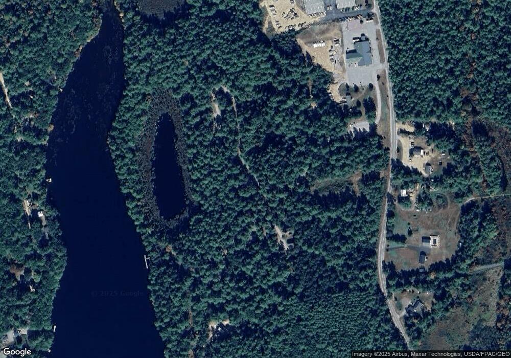
Map
Nearby Homes
- 3 Forest View Ln Unit 3
- 002-031-B Shapleigh Corner Rd
- 233 Cedar Dr
- Lot 35A Norton Ridge Rd
- 164 16th Street Loop
- 164 16th
- 3 & 7 Back Rd
- Lot 5 St Laurent Way
- 264 State Loop 23
- TBD 23rd St
- 19 Rodrigue Ln
- 446 13th St
- 255 Ross Corner Rd
- 100 Warden's Way
- 399 13th St
- 94 Warden's Way
- 59 Main St
- 510 Balch Mill Rd
- 281 Gile Rd
- Lot 14 Milk Rd
- 37 Log Cabin Ln Unit 11
- 45 Log Cabin Ln
- 45 Log Cabin Ln Unit none
- 10 Log Cabin Ln Unit 10
- 10 Log Cabin Ln Unit 10
- 41 Log Cabin Ln
- 8 Log Cabin Ln
- 51 Kettle Pond Rd
- 51 Kettle Pond Rd Unit 51
- 51 Kettle Pond Rd Unit 7
- 59 Kettle Pond Rd
- 59 Kettle Pond Rd Unit 14
- 43 Kettle Pond Rd
- 43 Kettle Pond Rd Unit 7
- 43 Kettle Pond Rd Unit 1
- 52 Kettle Pond Rd Unit 6
- 52 Kettle Pond Rd Unit 52
- 3 Forest View Unit 3
- 3 Forest View Ln Unit 5
- 83 Kettle Pond Rd Unit 17