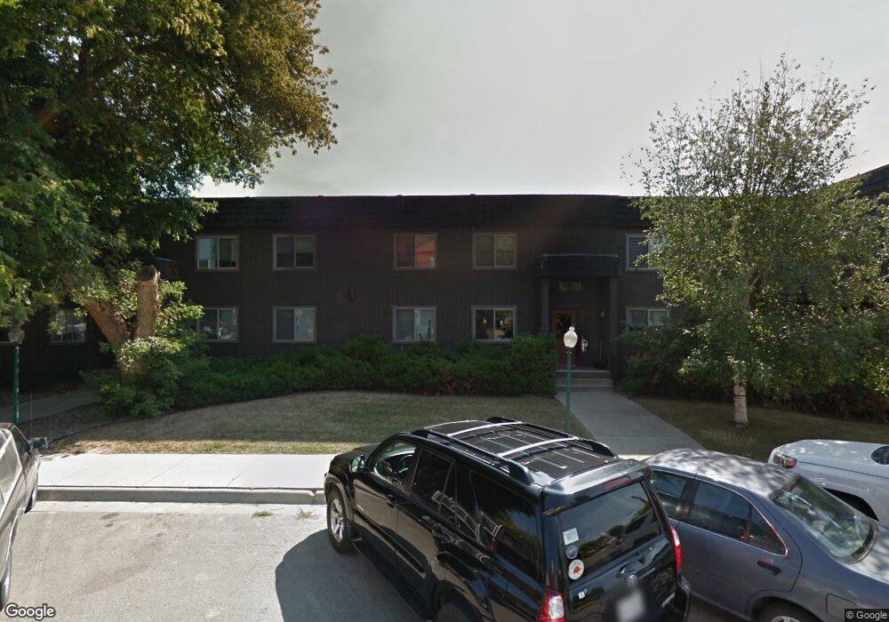
37 Lupfer Ave Whitefish, MT 59937
Estimated Value: $3,220,000
20
Beds
--
Bath
12,000
Sq Ft
$268/Sq Ft
Est. Value
About This Home
This home is located at 37 Lupfer Ave, Whitefish, MT 59937 and is currently estimated at $3,220,000, approximately $268 per square foot. 37 Lupfer Ave is a home located in Flathead County with nearby schools including L.A. Muldown School, Whitefish Middle School, and Whitefish High School.
Ownership History
Date
Name
Owned For
Owner Type
Purchase Details
Closed on
Jan 19, 2021
Sold by
Lupfer Properties Llc
Bought by
Block 26 Partners Llc
Current Estimated Value
Home Financials for this Owner
Home Financials are based on the most recent Mortgage that was taken out on this home.
Original Mortgage
$1,425,000
Interest Rate
2.71%
Mortgage Type
Future Advance Clause Open End Mortgage
Purchase Details
Closed on
Jul 14, 2005
Sold by
Alpha Aprtments Llc
Bought by
Lupfer Properties Llc
Create a Home Valuation Report for This Property
The Home Valuation Report is an in-depth analysis detailing your home's value as well as a comparison with similar homes in the area
Home Values in the Area
Average Home Value in this Area
Purchase History
| Date | Buyer | Sale Price | Title Company |
|---|---|---|---|
| Block 26 Partners Llc | -- | Fidelity National Title | |
| Lupfer Properties Llc | -- | Sterling Title Services Inc |
Source: Public Records
Mortgage History
| Date | Status | Borrower | Loan Amount |
|---|---|---|---|
| Closed | Block 26 Partners Llc | $1,425,000 |
Source: Public Records
Tax History
| Year | Tax Paid | Tax Assessment Tax Assessment Total Assessment is a certain percentage of the fair market value that is determined by local assessors to be the total taxable value of land and additions on the property. | Land | Improvement |
|---|---|---|---|---|
| 2025 | $16,524 | $2,996,369 | $0 | $0 |
| 2024 | $9,137 | $1,825,862 | $0 | $0 |
| 2023 | $12,435 | $1,825,862 | $0 | $0 |
| 2022 | $19,048 | $2,676,900 | $0 | $0 |
| 2021 | $22,109 | $2,676,900 | $0 | $0 |
| 2020 | $22,289 | $2,291,900 | $0 | $0 |
| 2019 | $23,759 | $2,291,900 | $0 | $0 |
| 2018 | $22,052 | $2,054,200 | $0 | $0 |
| 2017 | $16,615 | $2,054,200 | $0 | $0 |
| 2016 | $19,174 | $1,943,900 | $0 | $0 |
| 2015 | $19,301 | $1,943,900 | $0 | $0 |
| 2014 | $16,443 | $961,738 | $0 | $0 |
Source: Public Records
Map
Nearby Homes
- 22 Lupfer Ave Unit 202
- 220 2nd St E Unit 202
- 301 2nd St E Unit 2D
- 214 2nd St E Unit Suite 302
- 214 2nd St E Unit Suite 201
- 214 2nd St E Unit Suite 301
- 104 Obrien Ave Unit A
- 104 Obrien Ave Unit B
- 128 Railway St
- 116 Railway St
- 139 2nd St E Unit 204
- 138 Miles Ave
- 28 Miles Ave Unit 202
- 28 Miles Ave Unit 104
- 734 Edgewood Place
- 124 2nd St W Unit A
- 121 Iowa Ave Unit 1E
- 702 Waverly Place
- 541 Spokane Ave
- 726 Waverly Place Unit 4
Your Personal Tour Guide
Ask me questions while you tour the home.