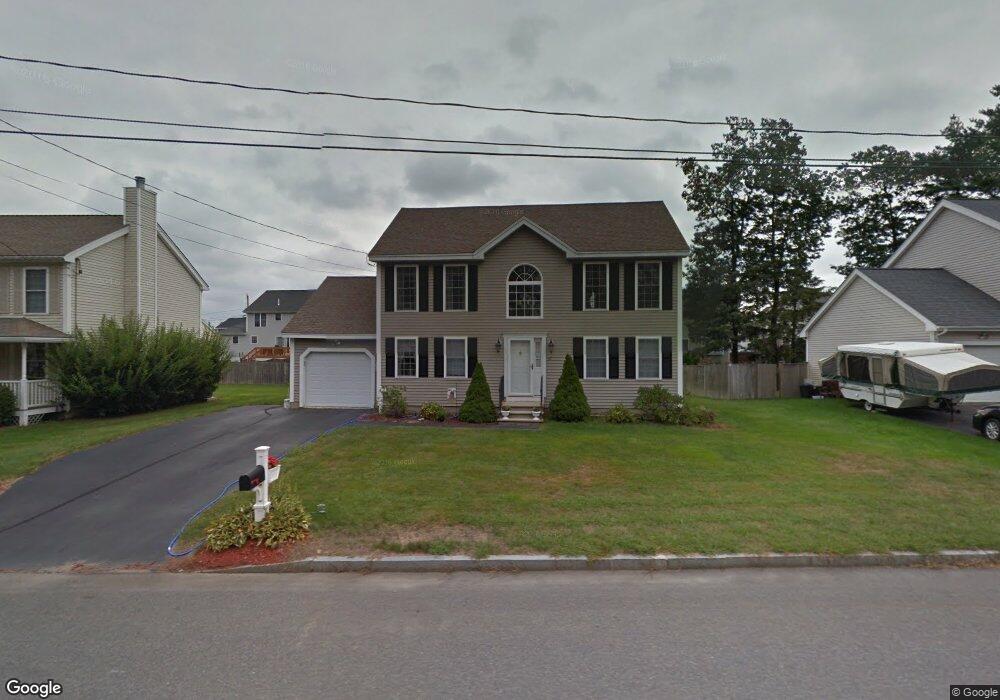
37 Sandy Brook St Manchester, NH 03103
Goffes Falls NeighborhoodEstimated Value: $543,000 - $573,000
3
Beds
3
Baths
1,772
Sq Ft
$315/Sq Ft
Est. Value
About This Home
This home is located at 37 Sandy Brook St, Manchester, NH 03103 and is currently estimated at $558,316, approximately $315 per square foot. 37 Sandy Brook St is a home located in Hillsborough County with nearby schools including Highland-Goffes Falls School, Southside Middle School, and Manchester Memorial High School.
Ownership History
Date
Name
Owned For
Owner Type
Purchase Details
Closed on
Nov 20, 2000
Sold by
Gagnon Jean M
Bought by
Grimard Robert F and Grimard Christina A
Current Estimated Value
Home Financials for this Owner
Home Financials are based on the most recent Mortgage that was taken out on this home.
Original Mortgage
$134,800
Interest Rate
7.78%
Create a Home Valuation Report for This Property
The Home Valuation Report is an in-depth analysis detailing your home's value as well as a comparison with similar homes in the area
Home Values in the Area
Average Home Value in this Area
Purchase History
| Date | Buyer | Sale Price | Title Company |
|---|---|---|---|
| Grimard Robert F | $168,500 | -- |
Source: Public Records
Mortgage History
| Date | Status | Borrower | Loan Amount |
|---|---|---|---|
| Open | Grimard Robert F | $126,500 | |
| Closed | Grimard Robert F | $134,800 |
Source: Public Records
Tax History Compared to Growth
Tax History
| Year | Tax Paid | Tax Assessment Tax Assessment Total Assessment is a certain percentage of the fair market value that is determined by local assessors to be the total taxable value of land and additions on the property. | Land | Improvement |
|---|---|---|---|---|
| 2024 | $6,839 | $349,300 | $94,700 | $254,600 |
| 2023 | $6,588 | $349,300 | $94,700 | $254,600 |
| 2022 | $6,371 | $349,300 | $94,700 | $254,600 |
| 2021 | $6,176 | $349,300 | $94,700 | $254,600 |
| 2020 | $6,093 | $247,100 | $65,300 | $181,800 |
| 2019 | $6,009 | $247,100 | $65,300 | $181,800 |
| 2018 | $5,851 | $247,100 | $65,300 | $181,800 |
| 2017 | $5,762 | $247,100 | $65,300 | $181,800 |
| 2016 | $5,718 | $247,100 | $65,300 | $181,800 |
| 2015 | $5,576 | $237,900 | $62,000 | $175,900 |
| 2014 | $5,591 | $237,900 | $62,000 | $175,900 |
| 2013 | $5,393 | $237,900 | $62,000 | $175,900 |
Source: Public Records
Map
Nearby Homes
- 29 Watts Landing Unit 24
- 53 Pine Ave
- 15 Tamarack Ct
- 67 Pullman St
- 3-C Mustang Dr Unit MODEL
- 9 Mustang Dr Unit C
- 9 Mustang Dr Unit B
- 7 Mustang Dr Unit C
- 7 Mustang Dr Unit END UNIT-A
- 4543 Brown Ave
- 4481 Brown Ave
- 8 Iroquois Cir
- 769 Daniel Webster Hwy
- 4243 Brown Ave
- 22 Kimberly Dr
- 490 Charles Bancroft Hwy
- 15 Harvey Rd
- 25 Chatfield Dr
- 29 Bedford Rd
- 34 Chatham Dr
- 25 Sandy Brook St
- 49 Sandy Brook St
- 90 Wildwood St
- 80 Wildwood St
- 104 Wildwood St
- 61 Sandy Brook St
- 9 Sandy Brook St
- 34 Sandy Brook St
- 46 Sandy Brook St
- 68 Wildwood St
- 58 Sandy Brook St
- 118 Wildwood St
- 14 Sandy Brook St
- 69 Sandy Brook St
- 66 Sandy Brook St
- 7 Wildwood Ct
- 132 Wildwood St
- 75 Wildwood St
- 59 Wildwood St
- 81 Sandy Brook St