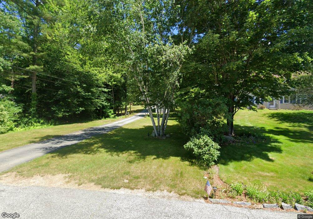
37 Smith Rd Goffstown, NH 03045
Estimated Value: $584,000 - $673,000
3
Beds
3
Baths
1,992
Sq Ft
$322/Sq Ft
Est. Value
About This Home
This home is located at 37 Smith Rd, Goffstown, NH 03045 and is currently estimated at $641,878, approximately $322 per square foot. 37 Smith Rd is a home with nearby schools including Mountain View Middle School and Goffstown High School.
Ownership History
Date
Name
Owned For
Owner Type
Purchase Details
Closed on
Oct 5, 2021
Sold by
Judith S Waterman Ret
Bought by
Kinney Rania and Kinney Scot
Current Estimated Value
Home Financials for this Owner
Home Financials are based on the most recent Mortgage that was taken out on this home.
Original Mortgage
$300,000
Outstanding Balance
$270,586
Interest Rate
2.8%
Mortgage Type
Purchase Money Mortgage
Estimated Equity
$371,292
Purchase Details
Closed on
Jun 29, 2007
Sold by
Walker Charles L and Walker Sally A
Bought by
Apar Shawn M and Apar Erin S
Home Financials for this Owner
Home Financials are based on the most recent Mortgage that was taken out on this home.
Original Mortgage
$252,000
Interest Rate
6.24%
Mortgage Type
Purchase Money Mortgage
Purchase Details
Closed on
Aug 29, 1997
Sold by
Reilly Paul A and Reilly Fiorenza B
Bought by
Walker Charles L and Walker Sally A
Create a Home Valuation Report for This Property
The Home Valuation Report is an in-depth analysis detailing your home's value as well as a comparison with similar homes in the area
Home Values in the Area
Average Home Value in this Area
Purchase History
We collect this data history from publicly available records. To have your information removed, we recommend requesting removal directly through your county’s website.
| Date | Buyer | Sale Price | Title Company |
|---|---|---|---|
| Kinney Rania | $520,000 | None Available | |
| Apar Shawn M | $315,000 | -- | |
| Walker Charles L | $144,500 | -- |
Source: Public Records
Mortgage History
We collect this data history from publicly available records. To have your information removed, we recommend requesting removal directly through your county’s website.
| Date | Status | Borrower | Loan Amount |
|---|---|---|---|
| Open | Kinney Rania | $300,000 | |
| Previous Owner | Walker Charles L | $242,500 | |
| Previous Owner | Walker Charles L | $252,000 | |
| Previous Owner | Walker Charles L | $225,000 | |
| Previous Owner | Walker Charles L | $25,000 |
Source: Public Records
Tax History
| Year | Tax Paid | Tax Assessment Tax Assessment Total Assessment is a certain percentage of the fair market value that is determined by local assessors to be the total taxable value of land and additions on the property. | Land | Improvement |
|---|---|---|---|---|
| 2025 | $10,029 | $480,300 | $204,500 | $275,800 |
| 2024 | $9,817 | $480,300 | $204,500 | $275,800 |
| 2023 | $9,058 | $480,300 | $204,500 | $275,800 |
| 2022 | $8,467 | $321,800 | $138,400 | $183,400 |
| 2021 | $7,987 | $321,800 | $138,400 | $183,400 |
| 2020 | $7,987 | $321,800 | $138,400 | $183,400 |
| 2019 | $7,910 | $321,800 | $138,400 | $183,400 |
| 2018 | $5,985 | $321,800 | $138,400 | $183,400 |
| 2017 | $7,672 | $279,800 | $114,000 | $165,800 |
| 2016 | $7,395 | $279,800 | $114,000 | $165,800 |
| 2015 | $7,324 | $260,100 | $105,200 | $154,900 |
| 2014 | $7,023 | $260,100 | $105,200 | $154,900 |
Source: Public Records
Map
Nearby Homes
- 101 Elm St
- 47 E Union St
- 130 Elm St
- 26 Pineridge St
- 23 Pineridge St
- 120 S Mast St
- 234 Paige Hill Rd
- 102 Mountain Rd
- 22B Angel Point Cir
- 144 Mountain Rd
- 27B Apple Tree Dr Unit B
- 145 Horizon Dr
- 10 Wood Cir
- 34 Horizon Dr
- 7 Rainbow Dr
- 87 Juniper Dr
- 4 Birch Ct
- 254 Normand Rd
- 11 Jennifer Ln
- 220 Riverdale Rd
Your Personal Tour Guide
Ask me questions while you tour the home.