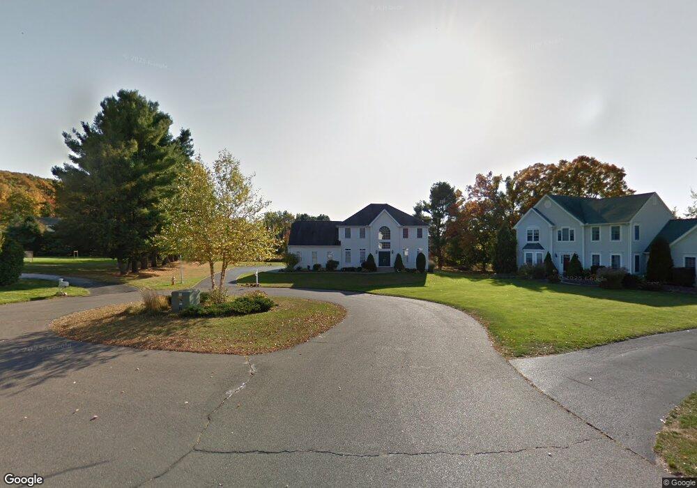
37 St Andrews Glastonbury, CT 06033
Minnechaug NeighborhoodEstimated Value: $859,659 - $921,000
4
Beds
3
Baths
3,174
Sq Ft
$281/Sq Ft
Est. Value
About This Home
This home is located at 37 St Andrews, Glastonbury, CT 06033 and is currently estimated at $892,415, approximately $281 per square foot. 37 St Andrews is a home located in Hartford County with nearby schools including Hebron Avenue School, Gideon Welles School, and Smith Middle School.
Ownership History
Date
Name
Owned For
Owner Type
Purchase Details
Closed on
May 7, 1999
Sold by
Chesson Rebecca P
Bought by
Vijayasekau M and Vijayasekau Jaya
Current Estimated Value
Purchase Details
Closed on
May 30, 1997
Sold by
T & M Homes Llc
Bought by
Chesson Rebecca P
Purchase Details
Closed on
Apr 10, 1987
Sold by
Shadybrook Assoc
Bought by
Rokinsky Dev Co
Create a Home Valuation Report for This Property
The Home Valuation Report is an in-depth analysis detailing your home's value as well as a comparison with similar homes in the area
Home Values in the Area
Average Home Value in this Area
Purchase History
| Date | Buyer | Sale Price | Title Company |
|---|---|---|---|
| Vijayasekau M | $358,900 | -- | |
| Chesson Rebecca P | $291,000 | -- | |
| Rokinsky Dev Co | $680,000 | -- |
Source: Public Records
Mortgage History
| Date | Status | Borrower | Loan Amount |
|---|---|---|---|
| Open | Rokinsky Dev Co | $410,000 | |
| Closed | Rokinsky Dev Co | $414,000 | |
| Closed | Rokinsky Dev Co | $392,900 |
Source: Public Records
Tax History Compared to Growth
Tax History
| Year | Tax Paid | Tax Assessment Tax Assessment Total Assessment is a certain percentage of the fair market value that is determined by local assessors to be the total taxable value of land and additions on the property. | Land | Improvement |
|---|---|---|---|---|
| 2025 | $14,068 | $428,500 | $158,600 | $269,900 |
| 2024 | $13,682 | $428,500 | $158,600 | $269,900 |
| 2023 | $13,288 | $428,500 | $158,600 | $269,900 |
| 2022 | $13,092 | $351,000 | $132,200 | $218,800 |
| 2021 | $13,099 | $351,000 | $132,200 | $218,800 |
| 2020 | $12,952 | $351,000 | $132,200 | $218,800 |
| 2019 | $12,762 | $351,000 | $132,200 | $218,800 |
| 2018 | $12,636 | $351,000 | $132,200 | $218,800 |
| 2017 | $12,070 | $322,300 | $106,800 | $215,500 |
| 2016 | $11,732 | $322,300 | $106,800 | $215,500 |
| 2015 | $11,635 | $322,300 | $106,800 | $215,500 |
| 2014 | $11,490 | $322,300 | $106,800 | $215,500 |
Source: Public Records
Map
Nearby Homes
- 1925 Manchester Rd
- 2085 Manchester Rd
- 60 Saddle Ridge Rd
- 6 Line St
- 76 Masters Way
- 580 S Main St
- 282 Mountain Rd
- 112 Jacqueline Dr
- 45 Line St
- 366 Woodhaven Rd
- 394 Woodhaven Rd
- 56 W Gerald Dr
- 47 Brookview Dr
- 509 Cedar Ridge Dr
- 0 0 Line #3 St Unit 24008112
- 0 Hebron Ave
- 311 S Main St
- 160 Pond Cir
- 214 Valley View Rd
- 202 S Main St
- 33 St Andrews
- 18 Pebble Bch Unit 18
- 18 Pebble Beach
- 36 St Andrews
- 21 St Andrews
- 24 Pebble Beach
- 28 St Andrews
- 28 Saint Andrews
- 235 Fairway Crossing
- 9 St Andrews
- 18 St Andrews
- 59 Augusta National
- 1807 Manchester Rd
- 25 Pebble Beach
- 7 Pebble Beach
- 51 Augusta National
- 263 Fairway Crossing
- 19 Pebble Beach
- 1842 Manchester Rd
- 41 Augusta National