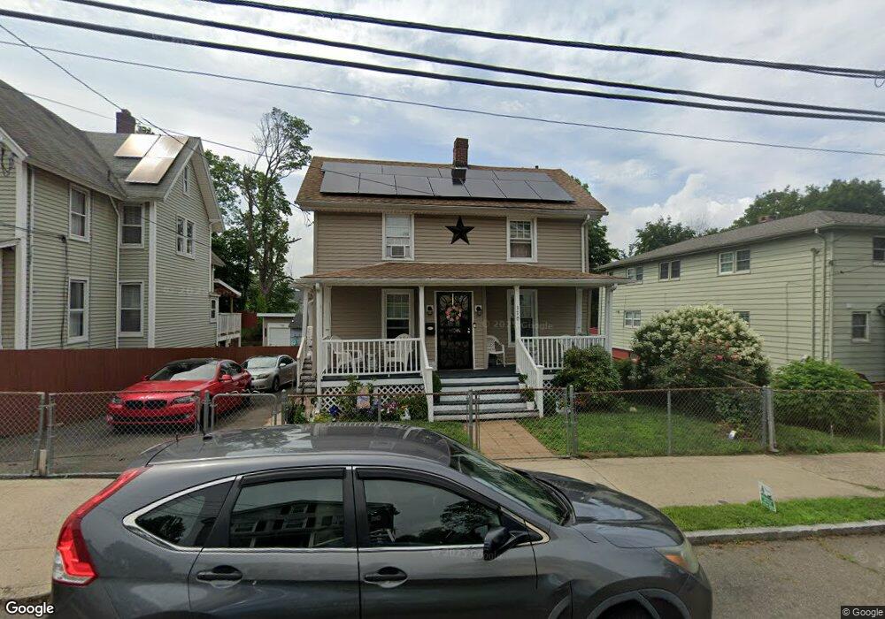
370 Lenox St New Haven, CT 06513
Fair Haven Heights NeighborhoodEstimated Value: $246,000 - $446,000
3
Beds
2
Baths
1,615
Sq Ft
$208/Sq Ft
Est. Value
About This Home
This home is located at 370 Lenox St, New Haven, CT 06513 and is currently estimated at $336,510, approximately $208 per square foot. 370 Lenox St is a home located in New Haven County with nearby schools including Ross Woodward, St Francis & St Rose Of Lima School, and All Nations Christian Academy.
Ownership History
Date
Name
Owned For
Owner Type
Purchase Details
Closed on
Jan 19, 1999
Sold by
Manciero Sophie M
Bought by
Torres Angel M and Alicea Wanda
Current Estimated Value
Home Financials for this Owner
Home Financials are based on the most recent Mortgage that was taken out on this home.
Original Mortgage
$67,444
Interest Rate
6.7%
Create a Home Valuation Report for This Property
The Home Valuation Report is an in-depth analysis detailing your home's value as well as a comparison with similar homes in the area
Home Values in the Area
Average Home Value in this Area
Purchase History
| Date | Buyer | Sale Price | Title Company |
|---|---|---|---|
| Torres Angel M | $68,000 | -- |
Source: Public Records
Mortgage History
| Date | Status | Borrower | Loan Amount |
|---|---|---|---|
| Open | Torres Angel M | $174,000 | |
| Closed | Torres Angel M | $148,500 | |
| Closed | Torres Angel M | $67,444 |
Source: Public Records
Tax History Compared to Growth
Tax History
| Year | Tax Paid | Tax Assessment Tax Assessment Total Assessment is a certain percentage of the fair market value that is determined by local assessors to be the total taxable value of land and additions on the property. | Land | Improvement |
|---|---|---|---|---|
| 2025 | $5,544 | $140,700 | $37,450 | $103,250 |
| 2024 | $5,417 | $140,700 | $37,450 | $103,250 |
| 2023 | $5,234 | $140,700 | $37,450 | $103,250 |
| 2022 | $5,593 | $140,700 | $37,450 | $103,250 |
| 2021 | $4,319 | $98,420 | $17,990 | $80,430 |
| 2020 | $4,319 | $98,420 | $17,990 | $80,430 |
| 2019 | $4,230 | $98,420 | $17,990 | $80,430 |
| 2018 | $4,230 | $98,420 | $17,990 | $80,430 |
| 2017 | $3,807 | $98,420 | $17,990 | $80,430 |
| 2016 | $4,348 | $104,650 | $27,020 | $77,630 |
| 2015 | $4,348 | $104,650 | $27,020 | $77,630 |
| 2014 | $4,348 | $104,650 | $27,020 | $77,630 |
Source: Public Records
Map
Nearby Homes
- 714 Quinnipiac Ave
- 728 Quinnipiac Ave
- 686 Quinnipiac Ave
- 674 Quinnipiac Ave
- 314 Lenox St
- 100 Front St Unit 100
- 265 Lexington Ave
- 533 Quinnipiac Ave
- 25 Pine St
- 916 Quinnipiac Ave Unit 2
- 116 E Pearl St
- 76 Front St Unit 76
- 22 Downing St
- 932 Quinnipiac Ave Unit 5
- 926 Quinnipiac Ave Unit 1
- 926 Quinnipiac Ave Unit 8
- 71 Houston St
- 8 Front St Unit D
- 43 E Pearl St
- 72 Pierpont St
- 374 Lenox St
- 366 Lenox St
- 378 Lenox St
- 705 Quinnipiac Ave
- 356 Lenox St
- 701 Quinnipiac Ave
- 715 Quinnipiac Ave
- 715 Quinnipiac Ave Unit 1
- 17 Clifton St
- 373 Lenox St
- 7 Clifton St
- 377 Lenox St
- 719 Quinnipiac Ave
- 350 Lenox St
- 381 Lenox St
- 367 Lenox St
- 361 Lenox St
- 693 Quinnipiac Ave Unit 1
- 48 E Grand Ave
- 46 E Grand Ave