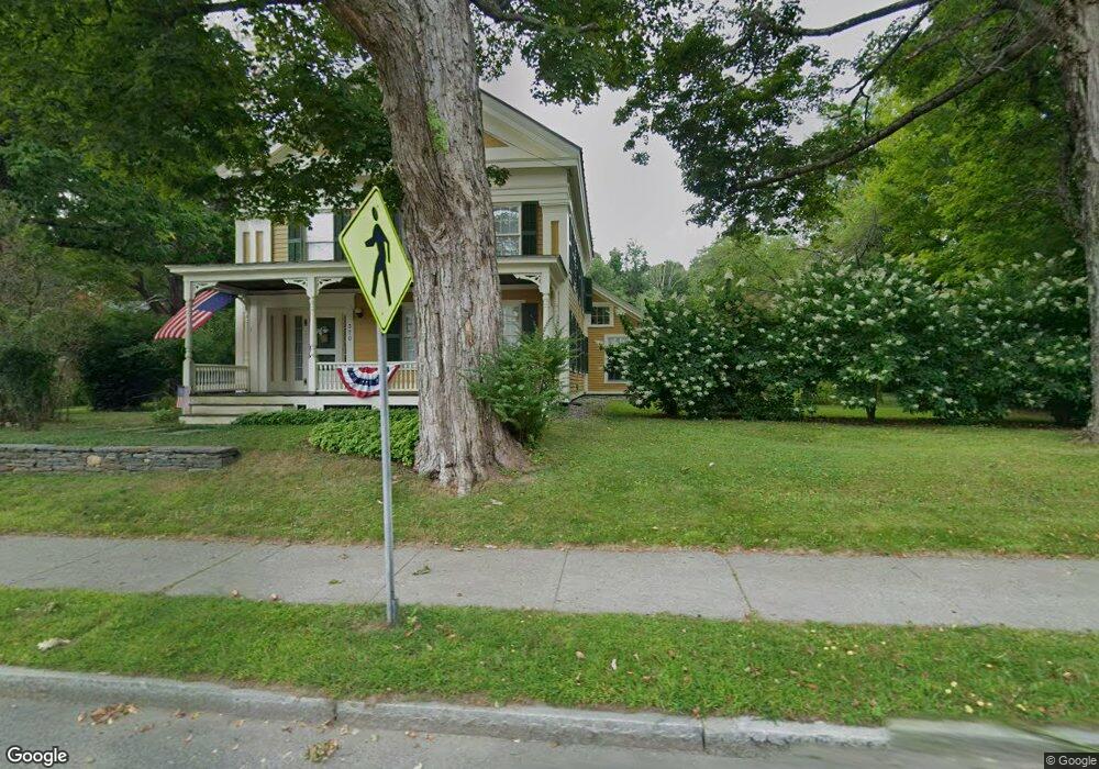
370 Main St Ashfield, MA 01330
Ashfield NeighborhoodEstimated Value: $511,000 - $625,000
4
Beds
4
Baths
3,041
Sq Ft
$188/Sq Ft
Est. Value
About This Home
This home is located at 370 Main St, Ashfield, MA 01330 and is currently estimated at $570,652, approximately $187 per square foot. 370 Main St is a home located in Franklin County with nearby schools including Mohawk Trail Regional High School.
Create a Home Valuation Report for This Property
The Home Valuation Report is an in-depth analysis detailing your home's value as well as a comparison with similar homes in the area
Home Values in the Area
Average Home Value in this Area
Tax History
| Year | Tax Paid | Tax Assessment Tax Assessment Total Assessment is a certain percentage of the fair market value that is determined by local assessors to be the total taxable value of land and additions on the property. | Land | Improvement |
|---|---|---|---|---|
| 2025 | $6,428 | $477,600 | $75,100 | $402,500 |
| 2024 | $6,420 | $439,400 | $75,100 | $364,300 |
| 2023 | $5,732 | $325,500 | $60,100 | $265,400 |
| 2022 | $5,475 | $315,000 | $57,100 | $257,900 |
| 2021 | $5,132 | $310,100 | $57,100 | $253,000 |
| 2020 | $5,166 | $310,100 | $57,100 | $253,000 |
| 2019 | $4,678 | $272,600 | $53,400 | $219,200 |
| 2018 | $4,561 | $265,500 | $53,400 | $212,100 |
| 2017 | $4,293 | $264,700 | $52,600 | $212,100 |
| 2016 | $4,089 | $248,700 | $52,600 | $196,100 |
| 2015 | $3,972 | $248,700 | $52,600 | $196,100 |
| 2014 | $4,336 | $268,300 | $49,600 | $218,700 |
Source: Public Records
Map
Nearby Homes
- 527 Main St
- 40 Suburban Dr
- 240 Beldingville Rd
- 220 Hawley Rd
- 0 N Bear River Rd Unit 73485981
- 0 Sears Rd Unit 73373850
- 0 John Ford Rd Unit 73403156
- 0 Spruce Corner Rd Unit 73244975
- 0 Upper St
- 333 Ranney Corner Rd
- 311 Cummington Rd
- 7 Hog Hollow Rd
- 146 Berkshire Trail W
- 13 Bray Rd
- 10 Deerfield Ave Unit 2
- 296 E Main St
- 30 Main St
- 1451 Route 2 E
- 1451 Massachusetts 2
- 0, Lot 7 East Rd
Your Personal Tour Guide
Ask me questions while you tour the home.