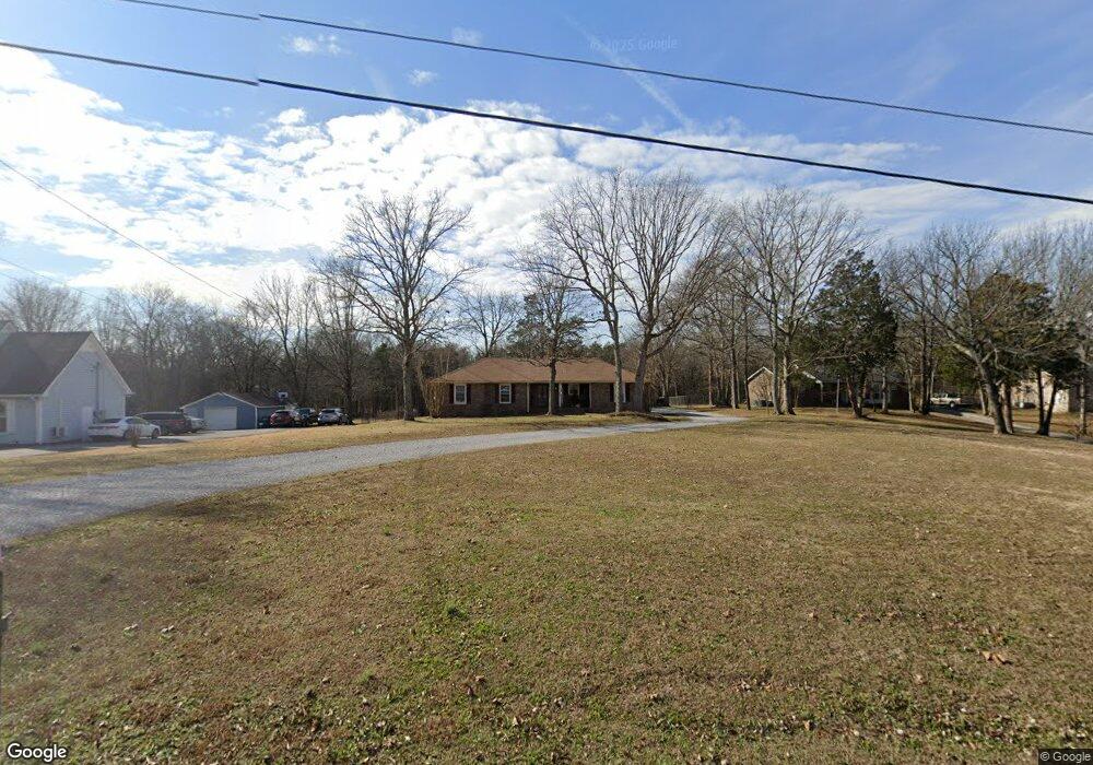
370 Rutland Dr Mount Juliet, TN 37122
Estimated Value: $339,925 - $483,000
--
Bed
2
Baths
1,316
Sq Ft
$318/Sq Ft
Est. Value
About This Home
This home is located at 370 Rutland Dr, Mount Juliet, TN 37122 and is currently estimated at $418,981, approximately $318 per square foot. 370 Rutland Dr is a home located in Wilson County with nearby schools including Stoner Creek Elementary School, West Wilson Middle School, and Mt. Juliet High School.
Ownership History
Date
Name
Owned For
Owner Type
Purchase Details
Closed on
Dec 27, 2005
Sold by
Creighton Dennis E
Bought by
Creighton Dennis E
Current Estimated Value
Home Financials for this Owner
Home Financials are based on the most recent Mortgage that was taken out on this home.
Original Mortgage
$112,000
Interest Rate
6%
Purchase Details
Closed on
Oct 11, 1990
Bought by
Duty Jerry S
Purchase Details
Closed on
Mar 22, 1990
Bought by
Throneberry Constr Co
Purchase Details
Closed on
Apr 4, 1904
Bought by
Sutton Harold
Create a Home Valuation Report for This Property
The Home Valuation Report is an in-depth analysis detailing your home's value as well as a comparison with similar homes in the area
Home Values in the Area
Average Home Value in this Area
Purchase History
| Date | Buyer | Sale Price | Title Company |
|---|---|---|---|
| Creighton Dennis E | -- | -- | |
| Duty Jerry S | $82,500 | -- | |
| Throneberry Constr Co | $13,500 | -- | |
| Sutton Harold | -- | -- |
Source: Public Records
Mortgage History
| Date | Status | Borrower | Loan Amount |
|---|---|---|---|
| Closed | Sutton Harold | $112,000 |
Source: Public Records
Tax History Compared to Growth
Tax History
| Year | Tax Paid | Tax Assessment Tax Assessment Total Assessment is a certain percentage of the fair market value that is determined by local assessors to be the total taxable value of land and additions on the property. | Land | Improvement |
|---|---|---|---|---|
| 2024 | $1,088 | $57,000 | $16,250 | $40,750 |
| 2022 | $1,083 | $56,750 | $16,250 | $40,500 |
| 2021 | $1,146 | $56,750 | $16,250 | $40,500 |
| 2020 | $1,034 | $56,750 | $16,250 | $40,500 |
| 2019 | $128 | $38,500 | $10,800 | $27,700 |
| 2018 | $1,034 | $38,500 | $10,800 | $27,700 |
| 2017 | $1,034 | $38,500 | $10,800 | $27,700 |
| 2016 | $1,034 | $38,500 | $10,800 | $27,700 |
| 2015 | $1,067 | $38,500 | $10,800 | $27,700 |
| 2014 | $1,018 | $36,752 | $0 | $0 |
Source: Public Records
Map
Nearby Homes
- 2640 E Division St
- 2106 E Division St
- 4199 Beckwith Rd
- 3971 Beckwith Rd
- 1940 E Division St
- 805 Muscogee Way
- 1631 Quarry Rd
- 1054 Quarry Rd
- 1056 Quarry Rd
- 863 Plowson Rd
- 0 Beckwith Rd Unit RTC2996667
- 0 Beckwith Rd Unit RTC2996635
- 0 Beckwith Rd Unit RTC2996621
- 0 Beckwith Rd Unit RTC2996615
- 0 Beckwith Rd Unit RTC2996047
- 0 Beckwith Rd Unit RTC2979533
- 5120 Beckwith Rd
- 4016 Willow Belle Dr
- 309 Croft Way
- 4032 Willow Belle Dr