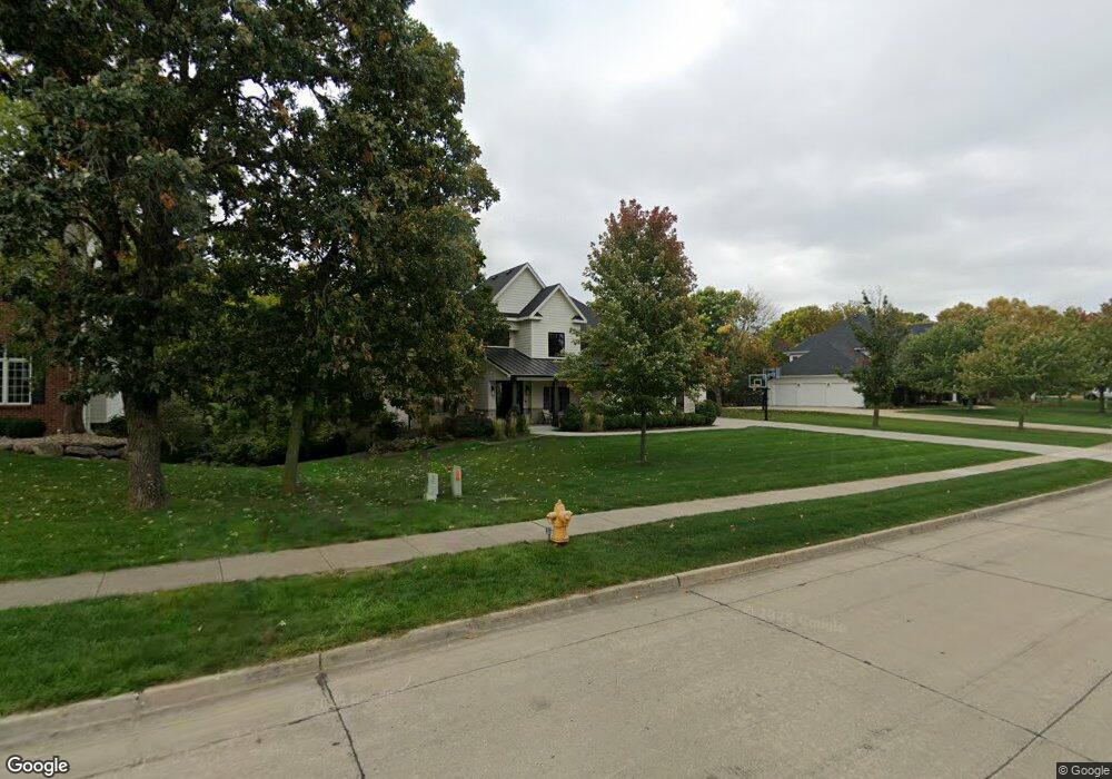
3709 131st St Urbandale, IA 50323
Estimated Value: $820,000 - $1,013,000
4
Beds
4
Baths
5,064
Sq Ft
$181/Sq Ft
Est. Value
About This Home
This home is located at 3709 131st St, Urbandale, IA 50323 and is currently estimated at $917,137, approximately $181 per square foot. 3709 131st St is a home located in Polk County with nearby schools including Webster Elementary School, Urbandale Middle School, and Urbandale High School.
Ownership History
Date
Name
Owned For
Owner Type
Purchase Details
Closed on
Mar 2, 2001
Sold by
John R Grubb Inc
Bought by
Clark Grant G and Clark Kalan M
Current Estimated Value
Home Financials for this Owner
Home Financials are based on the most recent Mortgage that was taken out on this home.
Original Mortgage
$306,000
Outstanding Balance
$109,870
Interest Rate
7%
Estimated Equity
$807,267
Purchase Details
Closed on
Oct 6, 1999
Sold by
Timberline Development Lc
Bought by
John R Grubb Inc
Create a Home Valuation Report for This Property
The Home Valuation Report is an in-depth analysis detailing your home's value as well as a comparison with similar homes in the area
Home Values in the Area
Average Home Value in this Area
Purchase History
| Date | Buyer | Sale Price | Title Company |
|---|---|---|---|
| Clark Grant G | $382,000 | -- | |
| John R Grubb Inc | $79,500 | -- |
Source: Public Records
Mortgage History
| Date | Status | Borrower | Loan Amount |
|---|---|---|---|
| Open | Clark Grant G | $306,000 | |
| Closed | Clark Grant G | $38,250 |
Source: Public Records
Tax History Compared to Growth
Tax History
| Year | Tax Paid | Tax Assessment Tax Assessment Total Assessment is a certain percentage of the fair market value that is determined by local assessors to be the total taxable value of land and additions on the property. | Land | Improvement |
|---|---|---|---|---|
| 2025 | $15,420 | $956,500 | $173,900 | $782,600 |
| 2024 | $15,420 | $851,400 | $154,400 | $697,000 |
| 2023 | $14,668 | $851,400 | $154,400 | $697,000 |
| 2022 | $14,498 | $683,600 | $126,300 | $557,300 |
| 2021 | $15,500 | $683,600 | $126,300 | $557,300 |
| 2020 | $15,240 | $693,700 | $129,100 | $564,600 |
| 2019 | $15,650 | $693,700 | $129,100 | $564,600 |
| 2018 | $12,486 | $670,100 | $122,400 | $547,700 |
| 2017 | $9,842 | $554,100 | $122,400 | $431,700 |
| 2016 | $9,612 | $428,500 | $104,400 | $324,100 |
| 2015 | $9,612 | $428,500 | $104,400 | $324,100 |
| 2014 | $9,294 | $410,200 | $98,600 | $311,600 |
Source: Public Records
Map
Nearby Homes
- 12926 Timberline Dr
- 12993 Oak Brook Dr
- 13282 Oak Brook Dr
- 12723 Sunflower Dr
- 14136 Wilden Dr
- 14134 Wilden Dr
- 14130 Wilden Dr
- 13425 Ridgeview Dr
- 13208 Rocklyn Dr
- 12324 Sunflower Dr
- 4016 127th St
- 12527 Airline Ave
- 13504 Sheridan Ave
- 12515 Airline Ave
- 12614 Ridgeview Dr
- 12202 Madison Ave
- 12220 Horton Ave
- 12510 Prairie Dr
- 3837 NW 183rd St
- 13165 Pinecrest Ln
- 3715 131st St
- 3703 131st St
- 3621 131st St
- 3712 131st St
- 3706 131st St
- 3721 131st St
- 13103 Timberline Dr
- 3718 131st St
- 12923 Timberline Dr
- 12929 Timberline Dr
- 3615 131st St
- 3719 132nd Cir
- 13102 Timberline Dr
- 3724 131st St
- 16620 Mill Pond Cir
- 16624 Mill Pond Cir
- 16616 Mill Pond Cir
- 16628 Mill Pond Cir
- 16636 Mill Pond Cir
- 3711 132nd Cir