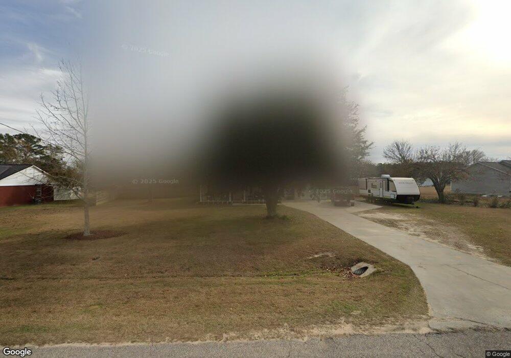
371 Berlin Rd Dothan, AL 36301
Estimated Value: $186,000 - $238,701
3
Beds
2
Baths
1,440
Sq Ft
$149/Sq Ft
Est. Value
About This Home
This home is located at 371 Berlin Rd, Dothan, AL 36301 and is currently estimated at $214,925, approximately $149 per square foot. 371 Berlin Rd is a home located in Houston County with nearby schools including Rehobeth Elementary School, Rehobeth Middle School, and Rehobeth High School.
Ownership History
Date
Name
Owned For
Owner Type
Purchase Details
Closed on
Oct 22, 2021
Sold by
Cole Brittany and Cole Michael
Bought by
Irwin Tony and Bryan Priscilla
Current Estimated Value
Purchase Details
Closed on
Sep 22, 2021
Sold by
Owens Trent B
Bought by
Cole Brittany and Owens Brittany
Purchase Details
Closed on
Aug 8, 2014
Sold by
Billy Gene Billy Gene and Clark Wyndilyn Wimbish
Bought by
Owens Brittany M and Owens Trent B
Home Financials for this Owner
Home Financials are based on the most recent Mortgage that was taken out on this home.
Original Mortgage
$144,897
Interest Rate
4.19%
Mortgage Type
Purchase Money Mortgage
Create a Home Valuation Report for This Property
The Home Valuation Report is an in-depth analysis detailing your home's value as well as a comparison with similar homes in the area
Purchase History
| Date | Buyer | Sale Price | Title Company |
|---|---|---|---|
| Irwin Tony | $180,000 | None Available | |
| Cole Brittany | -- | None Available | |
| Owens Brittany M | $142,000 | -- |
Source: Public Records
Mortgage History
| Date | Status | Borrower | Loan Amount |
|---|---|---|---|
| Previous Owner | Owens Brittany M | $144,897 |
Source: Public Records
Tax History
| Year | Tax Paid | Tax Assessment Tax Assessment Total Assessment is a certain percentage of the fair market value that is determined by local assessors to be the total taxable value of land and additions on the property. | Land | Improvement |
|---|---|---|---|---|
| 2025 | $682 | $19,640 | $0 | $0 |
| 2024 | $682 | $18,680 | $0 | $0 |
| 2023 | $647 | $17,900 | $0 | $0 |
| 2022 | $422 | $12,880 | $0 | $0 |
| 2021 | $411 | $12,900 | $0 | $0 |
| 2020 | $397 | $12,140 | $0 | $0 |
| 2019 | $390 | $11,940 | $0 | $0 |
| 2018 | $377 | $11,560 | $0 | $0 |
| 2017 | $431 | $13,120 | $0 | $0 |
| 2016 | $434 | $0 | $0 | $0 |
| 2015 | $420 | $0 | $0 | $0 |
| 2014 | $393 | $0 | $0 | $0 |
Source: Public Records
Map
Nearby Homes
- 656 Paulk Rd
- 622 Paulk Rd
- 102 Holiday Ct
- 1792 County Road 74
- 105 Periwinkle Ct
- 000 36 Acres Rice Rd
- 101 Twilight Dr
- 0 State Highway 605
- 823 Landview Dr
- 901 Landview Dr
- 180 Branton Rd
- 205 Petunia Dr
- 73 Acres Shiver Rd
- 00 Shiver Rd
- 364 Sheppard Rd
- 167 Collins Rd
- 373 Fuller Rd
- 613 Collins Rd
- Lot 7 S Park Ave
- 197 Mayberry Ln
Your Personal Tour Guide
Ask me questions while you tour the home.