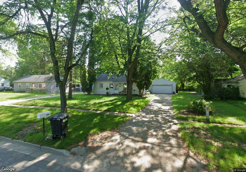
3710 E St Andrews Rd Midland, MI 48642
Estimated Value: $139,000 - $162,000
3
Beds
1
Bath
856
Sq Ft
$178/Sq Ft
Est. Value
About This Home
This home is located at 3710 E St Andrews Rd, Midland, MI 48642 and is currently estimated at $152,608, approximately $178 per square foot. 3710 E St Andrews Rd is a home located in Midland County with nearby schools including Plymouth Elementary School, Northeast Middle School, and Midland High School.
Ownership History
Date
Name
Owned For
Owner Type
Purchase Details
Closed on
Jun 17, 2013
Sold by
Leigeb Brian S and Leigeb Tonya Sue
Bought by
Brave Investments Llc
Current Estimated Value
Purchase Details
Closed on
Jun 11, 2013
Sold by
Fannie Mae
Bought by
Leigeb Brian S
Purchase Details
Closed on
Jul 23, 2012
Sold by
Wells Fargo Bank Na
Bought by
Fannie Mae and Federal National Mortgage Association
Purchase Details
Closed on
Jul 17, 2012
Sold by
Barbara M Hendrickson Deputy Sheriff Mid
Bought by
Wells Fargo Bank Na Successor By Merge
Create a Home Valuation Report for This Property
The Home Valuation Report is an in-depth analysis detailing your home's value as well as a comparison with similar homes in the area
Home Values in the Area
Average Home Value in this Area
Purchase History
| Date | Buyer | Sale Price | Title Company |
|---|---|---|---|
| Brave Investments Llc | -- | First American Title Insuran | |
| Leigeb Brian S | $56,000 | -- | |
| Fannie Mae | -- | -- | |
| Wells Fargo Bank Na Successor By Merge | $45,587 | -- |
Source: Public Records
Tax History
| Year | Tax Paid | Tax Assessment Tax Assessment Total Assessment is a certain percentage of the fair market value that is determined by local assessors to be the total taxable value of land and additions on the property. | Land | Improvement |
|---|---|---|---|---|
| 2025 | $2,526 | $71,100 | $0 | $0 |
| 2024 | $1,751 | $61,500 | $0 | $0 |
| 2023 | $1,667 | $51,700 | $0 | $0 |
| 2022 | $2,292 | $42,900 | $0 | $0 |
| 2021 | $2,198 | $41,600 | $0 | $0 |
| 2020 | $2,175 | $39,900 | $0 | $0 |
| 2019 | $2,127 | $37,800 | $13,800 | $24,000 |
| 2018 | $2,105 | $40,500 | $13,800 | $26,700 |
| 2017 | $0 | $36,200 | $13,800 | $22,400 |
| 2016 | $1,989 | $34,800 | $13,800 | $21,000 |
| 2012 | -- | $34,600 | $13,800 | $20,800 |
Source: Public Records
Map
Nearby Homes
- 1717 E Sugnet Rd
- 1101 Baldwin St
- 4205 McKeith Rd
- 1012 Wallen St
- 2200 Hillgrove Pkwy
- 2113 Belaire St
- 3619 Concord St
- 2203 Lambros Dr
- 1702 Plymouth St
- 1117 Glendale St
- 3908 Nottingham Terrace
- 3218 Fairlane St
- 3207 Greenway Dr
- 1100 E Wheeler St
- 518 E Ashman St
- 4020 Oak Ct
- 701 Airfield Ln
- 2709 Blairmont Dr
- 3710 Cambridge St
- 4 Hannah Ct
- 3710 E Saint Andrews Rd
- 3208 E St Andrews
- 3714 E Saint Andrews Rd
- 3706 E Saint Andrews Rd
- 3802 E Saint Andrews Rd
- 3802 E St Andrews
- 3702 E Saint Andrews Rd
- 3715 Robinhood Terrace
- 3806 E Saint Andrews Rd
- 3806 E St Andrews
- 3711 Robinhood Terrace
- 3803 Robinhood Terrace
- 3614 E Saint Andrews Rd
- 3614 E St Andrews
- 3707 Robinhood Terrace
- 3703 Robinhood Terrace
- 3807 Robinhood Terrace
- 3810 E St Andrews
- 3810 E St Andrews Rd
- 3810 E Saint Andrews Rd
Your Personal Tour Guide
Ask me questions while you tour the home.