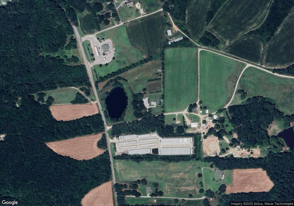
3717 S Smithfield Rd Knightdale, NC 27545
Shotwell NeighborhoodEstimated Value: $495,000 - $626,777
--
Bed
--
Bath
2,277
Sq Ft
$247/Sq Ft
Est. Value
About This Home
This home is located at 3717 S Smithfield Rd, Knightdale, NC 27545 and is currently estimated at $563,194, approximately $247 per square foot. 3717 S Smithfield Rd is a home located in Wake County with nearby schools including Lake Myra Elementary, Wendell Middle School, and East Wake High School.
Ownership History
Date
Name
Owned For
Owner Type
Purchase Details
Closed on
Jan 11, 2024
Sold by
Lona J Myrick Revocable Trust
Bought by
Allan K Edwards And Vivian R Edwards Revocabl
Current Estimated Value
Purchase Details
Closed on
Nov 3, 2005
Sold by
Myrick Lona J
Bought by
Lona J Myrick Revocable Trust
Create a Home Valuation Report for This Property
The Home Valuation Report is an in-depth analysis detailing your home's value as well as a comparison with similar homes in the area
Home Values in the Area
Average Home Value in this Area
Purchase History
| Date | Buyer | Sale Price | Title Company |
|---|---|---|---|
| Allan K Edwards And Vivian R Edwards Revocabl | $557,500 | None Listed On Document | |
| Allan K Edwards And Vivian R Edwards Revocabl | $557,500 | None Listed On Document | |
| Lona J Myrick Revocable Trust | -- | None Available |
Source: Public Records
Tax History Compared to Growth
Tax History
| Year | Tax Paid | Tax Assessment Tax Assessment Total Assessment is a certain percentage of the fair market value that is determined by local assessors to be the total taxable value of land and additions on the property. | Land | Improvement |
|---|---|---|---|---|
| 2025 | $3,878 | $603,247 | $253,640 | $349,607 |
| 2024 | $3,766 | $603,247 | $253,640 | $349,607 |
| 2023 | $3,411 | $434,906 | $162,080 | $272,826 |
| 2022 | $3,161 | $434,906 | $162,080 | $272,826 |
| 2021 | $3,076 | $434,906 | $162,080 | $272,826 |
| 2020 | $3,025 | $434,906 | $162,080 | $272,826 |
| 2019 | $2,899 | $352,472 | $133,768 | $218,704 |
| 2018 | $2,665 | $352,472 | $133,768 | $218,704 |
| 2017 | $2,526 | $352,472 | $133,768 | $218,704 |
| 2016 | $2,475 | $352,472 | $133,768 | $218,704 |
| 2015 | $2,808 | $401,379 | $182,340 | $219,039 |
| 2014 | $2,661 | $401,379 | $182,340 | $219,039 |
Source: Public Records
Map
Nearby Homes
- 5509 Sandy Run
- 920 Knotts Hill Place
- 1157 Rutledge Landing Dr
- 1128 Rutledge Landing Dr
- 102 N Bend Dr
- 105 N Bend Dr
- 1240 Sweetgrass St
- 1112 Amber Acres Ln
- 5209 Limewood St
- 5412 Swordsman Ct
- 1132 Amber Acres Ln
- 1417 White Opal Dr
- 5200 Limewood St
- 1028 Roundtable Ct
- 5404 Rutledgeville Ln
- 5104 Parkerwood Dr
- 5312 Sapphire Springs Dr
- 1208 Poplar Stone Dr
- 1417 Slate Ridge Rd
- 5020 Walton Hill Rd
- 6016 King Farm Ln
- 6025 King Farm Ln
- 6024 King Farm Ln
- 3833 S Smithfield Rd
- 3833 S Smithfield Rd
- 6032 King Farm Ln
- 5821 Poor Boy Farm Rd
- 5825 Poor Boy Farm Rd
- 3817 S Smithfield Rd
- 103 Coy Place
- 3604 S Smithfield Rd
- 105 Coy Place
- 104 Coy Place
- 5712 Sandy Run
- 5700 Sandy Run
- 5716 Sandy Run
- 5612 Sandy Run
- 3350 Smithfield Rd
- 5608 Sandy Run
- 103 Sandy Run
