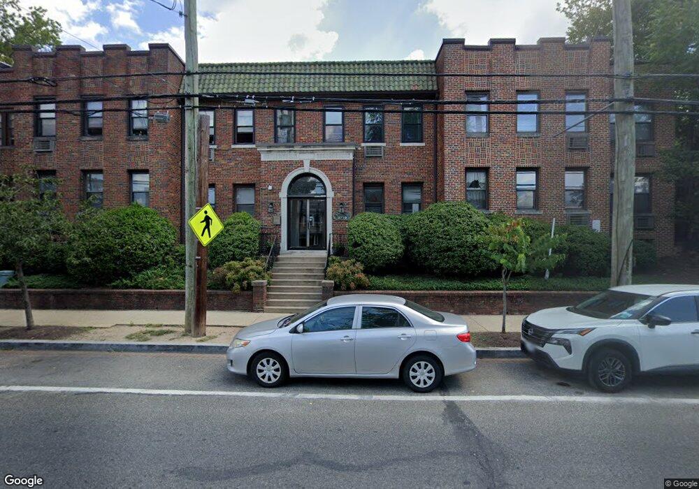
3719 12th St NE Unit 110 Washington, DC 20017
Brookland NeighborhoodEstimated Value: $208,829 - $358,000
1
Bed
1
Bath
519
Sq Ft
$494/Sq Ft
Est. Value
About This Home
This home is located at 3719 12th St NE Unit 110, Washington, DC 20017 and is currently estimated at $256,207, approximately $493 per square foot. 3719 12th St NE Unit 110 is a home located in District of Columbia with nearby schools including Bunker Hill Elementary School, Brookland Middle School, and Dunbar High School.
Ownership History
Date
Name
Owned For
Owner Type
Purchase Details
Closed on
Apr 9, 2002
Sold by
Worrell Lisa
Bought by
Sklencar Mary
Current Estimated Value
Home Financials for this Owner
Home Financials are based on the most recent Mortgage that was taken out on this home.
Original Mortgage
$50,100
Outstanding Balance
$20,854
Interest Rate
7.01%
Mortgage Type
FHA
Estimated Equity
$235,353
Create a Home Valuation Report for This Property
The Home Valuation Report is an in-depth analysis detailing your home's value as well as a comparison with similar homes in the area
Home Values in the Area
Average Home Value in this Area
Purchase History
| Date | Buyer | Sale Price | Title Company |
|---|---|---|---|
| Sklencar Mary | $71,000 | -- |
Source: Public Records
Mortgage History
| Date | Status | Borrower | Loan Amount |
|---|---|---|---|
| Open | Sklencar Mary | $50,100 |
Source: Public Records
Tax History Compared to Growth
Tax History
| Year | Tax Paid | Tax Assessment Tax Assessment Total Assessment is a certain percentage of the fair market value that is determined by local assessors to be the total taxable value of land and additions on the property. | Land | Improvement |
|---|---|---|---|---|
| 2025 | $303 | $233,900 | $70,170 | $163,730 |
| 2024 | $310 | $247,870 | $74,360 | $173,510 |
| 2023 | $318 | $260,630 | $78,190 | $182,440 |
| 2022 | $323 | $250,050 | $75,010 | $175,040 |
| 2021 | $316 | $245,520 | $73,660 | $171,860 |
| 2020 | $411 | $224,470 | $67,340 | $157,130 |
| 2019 | $828 | $203,840 | $61,150 | $142,690 |
| 2018 | $764 | $188,120 | $0 | $0 |
| 2017 | $701 | $178,460 | $0 | $0 |
| 2016 | $643 | $171,260 | $0 | $0 |
| 2015 | $587 | $152,160 | $0 | $0 |
| 2014 | $544 | $134,210 | $0 | $0 |
Source: Public Records
Map
Nearby Homes
- 3719 12th St NE Unit 209
- 1032 Otis St NE Unit G01
- 1235 Perry St NE
- 3722 13th St NE
- 1241 Perry St NE
- 1049 Michigan Ave NE Unit 1049
- 1234 Monroe St NE
- 1248 Monroe St NE
- 1207 Randolph St NE
- 1348 Newton St NE
- 1358 Newton St NE
- 913 Quincy St NE Unit 3
- 1400 Newton St NE
- 705 Quincy St NE Unit 2
- 705 Quincy St NE Unit 4
- 1030 Kearny St NE
- 1260 Kearny St NE
- 1006 Shepherd St NE
- 1004 Shepherd St NE
- 4019 9th St NE Unit 4
- 3719 12th St NE
- 3719 12th St NE
- 3719 12th St NE
- 3725 12th St NE Unit 208
- 3719 12th St NE Unit 210
- 3719 12th St NE Unit 204
- 3719 12th St NE Unit 200
- 3725 12th St NE Unit 101
- 3719 12th St NE Unit 202
- 3725 12th St NE Unit 106
- 3725 12th St NE Unit 103
- 3725 12th St NE Unit 204
- 3725 12th St NE Unit 1
- 3725 12th St NE Unit 209
- 3725 12th St NE Unit 206
- 3725 12th St NE Unit 105
- 3719 12th St NE Unit 205
- 3725 12th St NE Unit 201
- 3719 12th St NE Unit 104
- 3725 12th St NE Unit 109