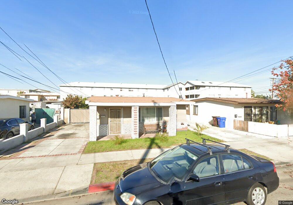
3719 W 132nd St Hawthorne, CA 90250
Estimated Value: $783,000 - $947,000
5
Beds
2
Baths
1,715
Sq Ft
$505/Sq Ft
Est. Value
About This Home
This home is located at 3719 W 132nd St, Hawthorne, CA 90250 and is currently estimated at $865,473, approximately $504 per square foot. 3719 W 132nd St is a home located in Los Angeles County with nearby schools including Kornblum School, Bud Carson Middle School, and Leuzinger High School.
Ownership History
Date
Name
Owned For
Owner Type
Purchase Details
Closed on
Mar 5, 2001
Sold by
Corpin John M and Corpin Janet Brown
Bought by
Molina Francisco R and Molina Marisol
Current Estimated Value
Home Financials for this Owner
Home Financials are based on the most recent Mortgage that was taken out on this home.
Original Mortgage
$206,755
Outstanding Balance
$75,060
Interest Rate
6.98%
Mortgage Type
FHA
Estimated Equity
$790,413
Create a Home Valuation Report for This Property
The Home Valuation Report is an in-depth analysis detailing your home's value as well as a comparison with similar homes in the area
Home Values in the Area
Average Home Value in this Area
Purchase History
| Date | Buyer | Sale Price | Title Company |
|---|---|---|---|
| Molina Francisco R | $210,000 | Fidelity National Title |
Source: Public Records
Mortgage History
| Date | Status | Borrower | Loan Amount |
|---|---|---|---|
| Open | Molina Francisco R | $206,755 |
Source: Public Records
Tax History Compared to Growth
Tax History
| Year | Tax Paid | Tax Assessment Tax Assessment Total Assessment is a certain percentage of the fair market value that is determined by local assessors to be the total taxable value of land and additions on the property. | Land | Improvement |
|---|---|---|---|---|
| 2025 | $4,367 | $316,414 | $105,465 | $210,949 |
| 2024 | $4,367 | $310,211 | $103,398 | $206,813 |
| 2023 | $4,221 | $304,129 | $101,371 | $202,758 |
| 2022 | $4,272 | $298,167 | $99,384 | $198,783 |
| 2021 | $4,210 | $292,322 | $97,436 | $194,886 |
| 2020 | $4,197 | $289,325 | $96,437 | $192,888 |
| 2019 | $4,071 | $283,653 | $94,547 | $189,106 |
| 2018 | $3,810 | $278,093 | $92,694 | $185,399 |
| 2016 | $3,629 | $267,296 | $89,096 | $178,200 |
| 2015 | $3,550 | $263,282 | $87,758 | $175,524 |
| 2014 | $3,540 | $258,125 | $86,039 | $172,086 |
Source: Public Records
Map
Nearby Homes
- 12914 Doty Ave
- 12716 Kornblum Ave
- 3506 W 133rd St
- 12612 Kornblum Ave
- 3357 W 134th Place
- 13534 Cordary Ave Unit 14
- 3512 W 135th St
- 3353 W 135th St
- 12512 Kornblum Ave
- 3237 W 132nd St
- 13006 Jefferson Ave
- 12539 York Ave
- 12443 York Ave
- 4302 W 133rd St
- 13717 Chadron Ave
- 14002 Cerise Ave Unit 11
- 14012 Cerise Ave Unit 3
- 14110 Yukon Ave
- 14050 Lemoli Way
- 13945 Lemoli Ave
- 3723 W 132nd St
- 3715 W 132nd St
- 3711 W 132nd St
- 3729 W 132nd St
- 3729 W 132nd St Unit Haw 3729 1
- 3707 W 132nd St
- 13109 Kornblum Ave
- 3703 W 132nd St
- 13105 Kornblum Ave Unit M
- 13201 Kornblum Ave
- 3714 W 132nd St
- 13207 Kornblum Ave
- 3743 W 132nd St
- 3743 W 132nd St Unit Rear
- 3743 W 132nd St
- 3718 W 132nd St
- 13211 Kornblum Ave
- 3722 W 132nd St
- 3655 W 132nd St
- 13120 Kornblum Ave