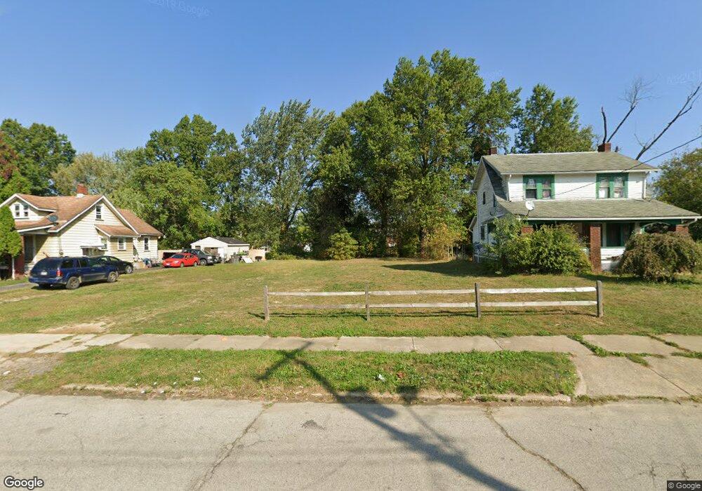
372 E Avondale Ave Youngstown, OH 44507
Cottage Grove NeighborhoodEstimated Value: $63,061 - $73,000
3
Beds
2
Baths
1,630
Sq Ft
$42/Sq Ft
Est. Value
About This Home
This home is located at 372 E Avondale Ave, Youngstown, OH 44507 and is currently estimated at $68,031, approximately $41 per square foot. 372 E Avondale Ave is a home located in Mahoning County with nearby schools including Taft Elementary School, East High School, and Horizon Science Academy - Youngstown.
Ownership History
Date
Name
Owned For
Owner Type
Purchase Details
Closed on
Jul 3, 2017
Sold by
Hargrove Randy and Hargrove Traci L
Bought by
Mahoning County Land Reutilization Corpo
Current Estimated Value
Purchase Details
Closed on
Sep 19, 2001
Sold by
Bowser Ken
Bought by
Hargrove Randy and Hargrove Traci L
Home Financials for this Owner
Home Financials are based on the most recent Mortgage that was taken out on this home.
Original Mortgage
$27,000
Interest Rate
7.06%
Mortgage Type
Purchase Money Mortgage
Purchase Details
Closed on
Oct 13, 1983
Bought by
Bowser Rosalie C
Create a Home Valuation Report for This Property
The Home Valuation Report is an in-depth analysis detailing your home's value as well as a comparison with similar homes in the area
Home Values in the Area
Average Home Value in this Area
Purchase History
| Date | Buyer | Sale Price | Title Company |
|---|---|---|---|
| Mahoning County Land Reutilization Corpo | -- | None Available | |
| Hargrove Randy | $30,200 | -- | |
| Bowser Rosalie C | -- | -- |
Source: Public Records
Mortgage History
| Date | Status | Borrower | Loan Amount |
|---|---|---|---|
| Previous Owner | Hargrove Randy | $27,000 |
Source: Public Records
Tax History Compared to Growth
Tax History
| Year | Tax Paid | Tax Assessment Tax Assessment Total Assessment is a certain percentage of the fair market value that is determined by local assessors to be the total taxable value of land and additions on the property. | Land | Improvement |
|---|---|---|---|---|
| 2024 | -- | $200 | $200 | -- |
| 2022 | $0 | $220 | $220 | $0 |
| 2021 | $0 | $220 | $220 | $0 |
| 2020 | $0 | $220 | $220 | $0 |
| 2019 | $453 | $200 | $200 | $0 |
| 2018 | $1,046 | $200 | $200 | $0 |
| 2017 | $453 | $2,320 | $680 | $1,640 |
| 2016 | $806 | $3,080 | $680 | $2,400 |
| 2015 | $685 | $3,080 | $680 | $2,400 |
| 2014 | $201 | $3,080 | $680 | $2,400 |
| 2013 | $198 | $3,080 | $680 | $2,400 |
Source: Public Records
Map
Nearby Homes
- 358 E Auburndale Ave
- 524 E Philadelphia Ave
- 537 Cambridge Ave
- 207 E Lucius Ave
- 2740 South Ave
- 182 E Auburndale Ave
- 144 Brooklyn Ave
- 371 Potomac Ave
- 582 Roxbury Ave
- 123 E Boston Ave
- 805 E Boston Ave
- 161 E Auburndale Ave
- 102 E Boston Ave
- 3726 Sunset Blvd
- 703 E Judson Ave
- 808 Marmion Ave
- 365 E Midlothian Blvd
- 131 E Ravenwood Ave Unit 133
- 857 E Boston Ave
- 564 Miller St
- 370 E Avondale Ave
- 374 E Avondale Ave
- 378 E Avondale Ave
- 360 E Avondale Ave
- 3134 3136 South Ave
- 373 E Avondale Ave
- 352 E Avondale Ave
- 3132 South Ave
- 3136 South Ave
- 3134 South Ave
- 3130 South Ave
- 367 E Avondale Ave
- 363 E Avondale Ave
- 3124 South Ave
- 361 E Avondale Ave
- 348 E Avondale Ave
- 3120 South Ave Unit 122
- 357 E Avondale Ave
- 344 E Avondale Ave
- 3216 South Ave