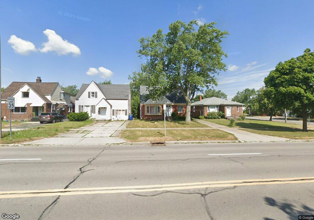
372 Grover Cleveland Hwy Buffalo, NY 14226
Eggertsville NeighborhoodEstimated Value: $213,000 - $261,241
3
Beds
2
Baths
1,113
Sq Ft
$210/Sq Ft
Est. Value
About This Home
This home is located at 372 Grover Cleveland Hwy, Buffalo, NY 14226 and is currently estimated at $233,310, approximately $209 per square foot. 372 Grover Cleveland Hwy is a home located in Erie County with nearby schools including Windermere Boulevard School, Amherst Middle School, and Amherst Central High School.
Ownership History
Date
Name
Owned For
Owner Type
Purchase Details
Closed on
Jul 6, 2012
Sold by
Kantam Krishna Reddy
Bought by
Nagaiswamy Ramkumar
Current Estimated Value
Home Financials for this Owner
Home Financials are based on the most recent Mortgage that was taken out on this home.
Original Mortgage
$78,200
Outstanding Balance
$12,037
Interest Rate
3.7%
Mortgage Type
New Conventional
Estimated Equity
$221,273
Purchase Details
Closed on
Nov 25, 2008
Sold by
Prell Nancy J and Prell Donald R
Bought by
Kantam Krishna Reddy
Home Financials for this Owner
Home Financials are based on the most recent Mortgage that was taken out on this home.
Original Mortgage
$71,062
Interest Rate
6.49%
Mortgage Type
FHA
Create a Home Valuation Report for This Property
The Home Valuation Report is an in-depth analysis detailing your home's value as well as a comparison with similar homes in the area
Home Values in the Area
Average Home Value in this Area
Purchase History
| Date | Buyer | Sale Price | Title Company |
|---|---|---|---|
| Nagaiswamy Ramkumar | $82,400 | None Available | |
| Kantam Krishna Reddy | $72,000 | None Available |
Source: Public Records
Mortgage History
| Date | Status | Borrower | Loan Amount |
|---|---|---|---|
| Open | Nagaiswamy Ramkumar | $78,200 | |
| Previous Owner | Kantam Krishna Reddy | $71,062 |
Source: Public Records
Tax History Compared to Growth
Tax History
| Year | Tax Paid | Tax Assessment Tax Assessment Total Assessment is a certain percentage of the fair market value that is determined by local assessors to be the total taxable value of land and additions on the property. | Land | Improvement |
|---|---|---|---|---|
| 2024 | -- | $208,000 | $35,000 | $173,000 |
| 2023 | $3,905 | $91,000 | $25,000 | $66,000 |
| 2022 | $3,352 | $91,000 | $25,000 | $66,000 |
| 2021 | $3,349 | $91,000 | $25,000 | $66,000 |
| 2020 | $2,627 | $91,000 | $25,000 | $66,000 |
| 2019 | $4,315 | $91,000 | $25,000 | $66,000 |
| 2018 | $2,537 | $91,000 | $25,000 | $66,000 |
| 2017 | $1,187 | $91,000 | $25,000 | $66,000 |
| 2016 | $2,298 | $75,000 | $13,100 | $61,900 |
| 2015 | -- | $75,000 | $13,100 | $61,900 |
| 2014 | -- | $75,000 | $13,100 | $61,900 |
Source: Public Records
Map
Nearby Homes
- 352 Grover Cleveland Hwy
- 4097 Bailey Ave
- 230 Hendricks Blvd
- 46 Endicott Dr
- 89 Olney Dr
- 179 Callodine Ave
- 300 Maynard Dr
- 302 Hendricks Blvd
- 326 Springville Ave
- 64 Gresham Dr
- 403 Springville Ave
- 247 Rosedale Blvd
- 4 Hendricks Blvd
- 17 Morton Dr
- 116 Springville Ave
- 91 Meadow Lea Dr
- 396 Maynard Dr
- 114 Mapleview Dr
- 51 Fairchild Dr
- 3901 Main St Unit 1 C
- 368 Grover Cleveland Hwy
- 378 Grover Cleveland Hwy
- 364 Grover Cleveland Hwy
- 360 Grover Cleveland Hwy
- 69 Stevenson Blvd
- 191 Maynard Dr
- 65 Stevenson Blvd
- 356 Grover Cleveland Hwy
- 57 Stevenson Blvd
- 394 Grover Cleveland Hwy
- 53 Stevenson Blvd
- 85 Stevenson Blvd
- 172 Maynard Dr
- 398 Grover Cleveland Hwy
- 369 Grover Cleveland Hwy
- 47 Stevenson Blvd
- 346 Grover Cleveland Hwy
- 365 Grover Cleveland Hwy
- 89 Stevenson Blvd
- 165 Maynard Dr