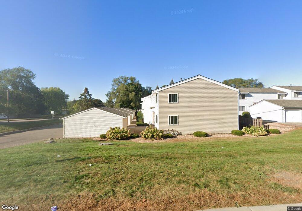
372 Mcknight Rd S Unit 2 Saint Paul, MN 55119
Vista Hills NeighborhoodEstimated Value: $174,000 - $189,000
2
Beds
2
Baths
860
Sq Ft
$212/Sq Ft
Est. Value
About This Home
This home is located at 372 Mcknight Rd S Unit 2, Saint Paul, MN 55119 and is currently estimated at $182,282, approximately $211 per square foot. 372 Mcknight Rd S Unit 2 is a home located in Ramsey County with nearby schools including Carver Elementary School, Justice Alan Page Elementary, and Tartan Senior High School.
Ownership History
Date
Name
Owned For
Owner Type
Purchase Details
Closed on
Nov 22, 2019
Sold by
Hinkley Angela B
Bought by
Pletsch Jeremy
Current Estimated Value
Home Financials for this Owner
Home Financials are based on the most recent Mortgage that was taken out on this home.
Original Mortgage
$117,600
Interest Rate
3.6%
Mortgage Type
New Conventional
Purchase Details
Closed on
Aug 29, 2003
Sold by
Sengil Laura Anne and Sengil Samil
Bought by
Hinkley Angela B
Create a Home Valuation Report for This Property
The Home Valuation Report is an in-depth analysis detailing your home's value as well as a comparison with similar homes in the area
Home Values in the Area
Average Home Value in this Area
Purchase History
| Date | Buyer | Sale Price | Title Company |
|---|---|---|---|
| Pletsch Jeremy | $147,000 | Titlesmart Inc | |
| Hinkley Angela B | $148,900 | -- |
Source: Public Records
Mortgage History
| Date | Status | Borrower | Loan Amount |
|---|---|---|---|
| Previous Owner | Pletsch Jeremy | $117,600 |
Source: Public Records
Tax History Compared to Growth
Tax History
| Year | Tax Paid | Tax Assessment Tax Assessment Total Assessment is a certain percentage of the fair market value that is determined by local assessors to be the total taxable value of land and additions on the property. | Land | Improvement |
|---|---|---|---|---|
| 2025 | $2,438 | $183,000 | $30,000 | $153,000 |
| 2023 | $2,438 | $188,800 | $30,000 | $158,800 |
| 2022 | $1,940 | $171,600 | $30,000 | $141,600 |
| 2021 | $1,742 | $150,100 | $30,000 | $120,100 |
| 2020 | $1,828 | $140,100 | $30,000 | $110,100 |
| 2019 | $1,952 | $127,800 | $17,500 | $110,300 |
| 2018 | $1,886 | $114,500 | $17,500 | $97,000 |
| 2017 | $1,608 | $104,100 | $17,500 | $86,600 |
| 2016 | $1,158 | $0 | $0 | $0 |
| 2015 | $996 | $94,900 | $14,200 | $80,700 |
| 2014 | $1,062 | $0 | $0 | $0 |
Source: Public Records
Map
Nearby Homes
- 2321 Pond Ave E Unit 36
- 2363 Dorland Ln E
- 2365 Dorland Ln E Unit 62
- 2445 Londin Ln E Unit 310
- 2485 Londin Ln E Unit 323
- 2485 Londin Ln E Unit 418
- 515 Marnie St S
- 567 Lakewood Dr S
- 2169 Glenridge Ave
- 2250 Edgebrook Ave
- 570 Crestview Dr S
- 2243 Edgebrook Ave
- 2338 Hillwood Dr E
- 479 Mary St S
- 371, 377, 381 Totem Rd
- 408 Totem Rd
- 2219 Cardinal Place
- 491 Burlington Rd
- 502 Deer Ridge Ln S
- 688 Burlington Rd
- 370 Mcknight Rd S
- 376 Mcknight Rd S
- 378 378 McKnight Rd S
- 382 Mcknight Rd S
- 382 382 S McKnight-road-
- 382 382 McKnight-road-
- 384 Mcknight Rd S
- 366 Mcknight Rd S
- 2281 Pond Ave E
- 2279 Pond Ave E
- 2281 Pond Ave E
- 2281 Pond Ave E
- 2279 Pond Ave E
- 2276 Londin Ln E
- 384 384 McKnight Rd S
- 384 Londin Place
- 380 Londin Place
- 2284 Londin Ln E
- 2289 Pond Ave E
- 2287 Pond Ave E