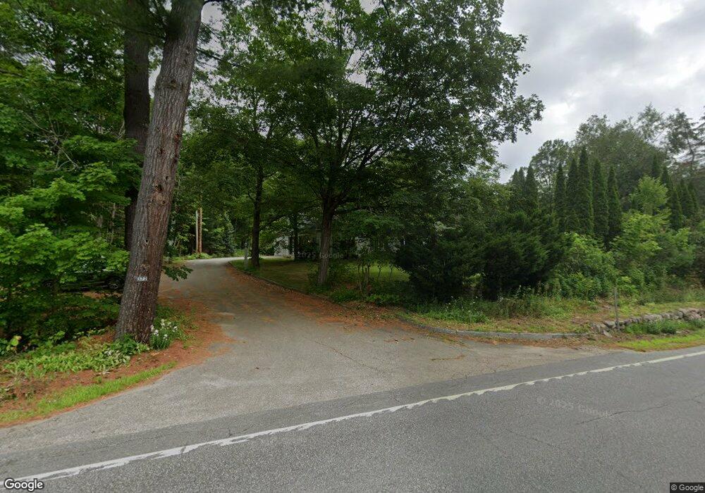
372 Us Route 3 Holderness, NH 03245
Estimated Value: $888,000 - $1,035,000
5
Beds
4
Baths
3,863
Sq Ft
$250/Sq Ft
Est. Value
About This Home
This home is located at 372 Us Route 3, Holderness, NH 03245 and is currently estimated at $964,746, approximately $249 per square foot. 372 Us Route 3 is a home located in Grafton County with nearby schools including Holderness Central School and Plymouth Regional High School.
Ownership History
Date
Name
Owned For
Owner Type
Purchase Details
Closed on
May 31, 2018
Sold by
Litchfield Daniel A and Litchfield Heather J
Bought by
Camp Deerwood Inc
Current Estimated Value
Purchase Details
Closed on
Aug 14, 2012
Sold by
Andre F Chabot Ret and Latulippe Theresa B
Bought by
Litchfield Daniel A and Litchfield Heather J
Purchase Details
Closed on
Feb 4, 2011
Sold by
Andre F Chabot Ret
Bought by
Camp Deerwood Inc
Create a Home Valuation Report for This Property
The Home Valuation Report is an in-depth analysis detailing your home's value as well as a comparison with similar homes in the area
Home Values in the Area
Average Home Value in this Area
Purchase History
| Date | Buyer | Sale Price | Title Company |
|---|---|---|---|
| Camp Deerwood Inc | $350,000 | -- | |
| Camp Deerwood Inc | $350,000 | -- | |
| Litchfield Daniel A | $277,100 | -- | |
| Litchfield Daniel A | $277,100 | -- | |
| Camp Deerwood Inc | $62,500 | -- | |
| Camp Deerwood Inc | $62,500 | -- |
Source: Public Records
Mortgage History
| Date | Status | Borrower | Loan Amount |
|---|---|---|---|
| Closed | Camp Deerwood Inc | $0 |
Source: Public Records
Tax History Compared to Growth
Tax History
| Year | Tax Paid | Tax Assessment Tax Assessment Total Assessment is a certain percentage of the fair market value that is determined by local assessors to be the total taxable value of land and additions on the property. | Land | Improvement |
|---|---|---|---|---|
| 2024 | $5,962 | $689,300 | $77,000 | $612,300 |
| 2023 | $5,921 | $689,300 | $77,000 | $612,300 |
| 2022 | $6,245 | $556,600 | $73,900 | $482,700 |
| 2021 | $6,431 | $568,600 | $73,900 | $494,700 |
| 2020 | $203 | $422,000 | $66,700 | $355,300 |
| 2019 | $201 | $422,000 | $66,700 | $355,300 |
| 2018 | $176 | $422,000 | $66,700 | $355,300 |
| 2017 | $183 | $311,770 | $51,670 | $260,100 |
| 2016 | $142 | $311,770 | $51,670 | $260,100 |
| 2015 | $4,421 | $311,770 | $51,670 | $260,100 |
| 2014 | $4,532 | $315,170 | $51,670 | $263,500 |
| 2011 | $5,050 | $383,770 | $51,670 | $332,100 |
Source: Public Records
Map
Nearby Homes
- 46 Laurel Island Ln
- 30 Westwind Shores Rd Unit 30
- 28 Potato Island
- 25 Elliot Rd
- 73 Maple Ridge Rd
- 206 High Country Way Unit (aka Unit 100)
- 265 High Country Way
- 53 Bay Dr
- 7 Hollows Rd
- 14 Overlook Rd
- 11 Sebec Rd
- 775 Winona Rd
- 12 Peaked Hill Rd
- 283 River St
- 388 Perch Pond Rd
- 88 Perch Pond Rd
- 224 Beede Rd
- 00 Hicks Hill Rd
- 125 Thompson St
- 26 Sawmill Shores Rd
- 372 Us Route 3
- 362 Us Route 3
- 362 Us Route 3
- 124 Dirt Rd
- 341 Us Route 3
- 393 Us Route 3
- 328 Us Route 3
- 19 White Oak Pond Rd
- 17 T da Dump Rd
- 5 Ta da Dump Rd
- 412 Us Route 3
- 316 Us Route 3
- 316 Us Route 3
- 316 U S 3
- 23 White Oak Pond Rd
- 51 Turtle Alley Rd
- 17 Ta da Dump Rd
- 315 Us Route 3
- 10 Mchugh Ln
- 44 White Oak Pond Rd