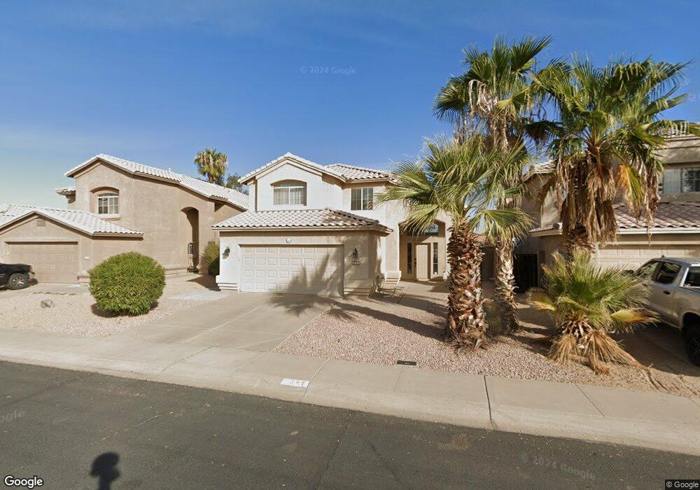
372 W Colt Rd Tempe, AZ 85284
South Tempe NeighborhoodEstimated Value: $447,202 - $571,000
2
Beds
3
Baths
1,509
Sq Ft
$330/Sq Ft
Est. Value
About This Home
This home is located at 372 W Colt Rd, Tempe, AZ 85284 and is currently estimated at $498,551, approximately $330 per square foot. 372 W Colt Rd is a home located in Maricopa County with nearby schools including C I Waggoner School, Kyrene Middle School, and Mountain Pointe High School.
Ownership History
Date
Name
Owned For
Owner Type
Purchase Details
Closed on
Aug 8, 2002
Sold by
Stevens Mark L
Bought by
Simmons Michael R
Current Estimated Value
Home Financials for this Owner
Home Financials are based on the most recent Mortgage that was taken out on this home.
Original Mortgage
$156,750
Outstanding Balance
$66,139
Interest Rate
6.51%
Mortgage Type
New Conventional
Estimated Equity
$432,412
Purchase Details
Closed on
Sep 27, 1995
Sold by
Shea Homes Arizona Ltd Partnership
Bought by
Stevens Mark L
Home Financials for this Owner
Home Financials are based on the most recent Mortgage that was taken out on this home.
Original Mortgage
$90,900
Interest Rate
7.67%
Mortgage Type
New Conventional
Create a Home Valuation Report for This Property
The Home Valuation Report is an in-depth analysis detailing your home's value as well as a comparison with similar homes in the area
Home Values in the Area
Average Home Value in this Area
Purchase History
| Date | Buyer | Sale Price | Title Company |
|---|---|---|---|
| Simmons Michael R | $165,000 | American Title Ins Agency Az | |
| Stevens Mark L | $121,249 | First American Title | |
| Shea Homes Arizona Ltd Partnership | -- | First American Title |
Source: Public Records
Mortgage History
| Date | Status | Borrower | Loan Amount |
|---|---|---|---|
| Open | Simmons Michael R | $156,750 | |
| Previous Owner | Stevens Mark L | $90,900 |
Source: Public Records
Tax History
| Year | Tax Paid | Tax Assessment Tax Assessment Total Assessment is a certain percentage of the fair market value that is determined by local assessors to be the total taxable value of land and additions on the property. | Land | Improvement |
|---|---|---|---|---|
| 2025 | $2,199 | $26,584 | -- | -- |
| 2024 | $2,342 | $25,318 | -- | -- |
| 2023 | $2,342 | $36,330 | $7,260 | $29,070 |
| 2022 | $2,221 | $28,130 | $5,620 | $22,510 |
| 2021 | $2,307 | $26,930 | $5,380 | $21,550 |
| 2020 | $2,252 | $24,900 | $4,980 | $19,920 |
| 2019 | $2,181 | $23,980 | $4,790 | $19,190 |
| 2018 | $2,459 | $22,470 | $4,490 | $17,980 |
| 2017 | $2,364 | $20,960 | $4,190 | $16,770 |
| 2016 | $2,385 | $20,210 | $4,040 | $16,170 |
| 2015 | $2,200 | $19,350 | $3,870 | $15,480 |
Source: Public Records
Map
Nearby Homes
- 329 W Calle Monte Vista
- 317 W Calle Monte Vista
- 318 W El Freda Rd
- 342 W El Freda Rd
- 8420 S Stephanie Ln
- 386 W Pecan Place
- 8274 S Stephanie Ln
- 8390 S Mill Ave
- 127 W Buena Vista Dr
- 82 W Calle de Arcos
- 91 W Calle de Arcos
- 8096 S Stephanie Ln
- 8859 S Grandview Dr
- 85 W La Vieve Ln
- 42 W La Vieve Ln
- 361 W Verde Ln
- 8440 S College Ln
- 8351 S Homestead Ln
- 7938 S Dateland Dr
- 211 E Rhea Rd
Your Personal Tour Guide
Ask me questions while you tour the home.