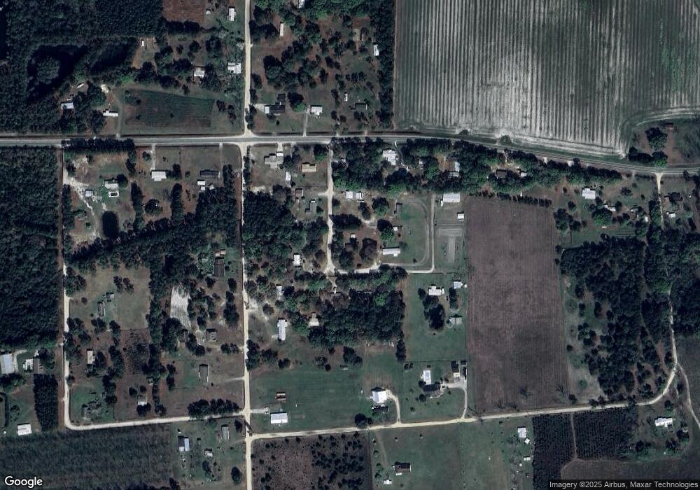
3734 Corn Patch Rd Blackshear, GA 31516
Estimated Value: $215,000 - $230,000
3
Beds
2
Baths
1,803
Sq Ft
$124/Sq Ft
Est. Value
About This Home
This home is located at 3734 Corn Patch Rd, Blackshear, GA 31516 and is currently estimated at $223,372, approximately $123 per square foot. 3734 Corn Patch Rd is a home located in Pierce County with nearby schools including Pierce County High School.
Ownership History
Date
Name
Owned For
Owner Type
Purchase Details
Closed on
May 12, 1993
Sold by
Odum James E Jr Estate
Bought by
Odum Sylvia C
Current Estimated Value
Purchase Details
Closed on
Feb 25, 1986
Sold by
Jim Walter Homes Inc
Bought by
Odum James E and Sylvia Cook
Purchase Details
Closed on
Jan 7, 1986
Sold by
Dixon Debora S & Adam J Jr By Atty
Bought by
Jim Walters Homes Inc
Purchase Details
Closed on
Nov 2, 1983
Sold by
Dixon Debora S and Dixon Adam J
Bought by
Jim Walter Homes Inc
Create a Home Valuation Report for This Property
The Home Valuation Report is an in-depth analysis detailing your home's value as well as a comparison with similar homes in the area
Home Values in the Area
Average Home Value in this Area
Purchase History
| Date | Buyer | Sale Price | Title Company |
|---|---|---|---|
| Odum Sylvia C | -- | -- | |
| Odum James E | $19,000 | -- | |
| Jim Walters Homes Inc | -- | -- | |
| Jim Walter Homes Inc | $3,000 | -- |
Source: Public Records
Tax History Compared to Growth
Tax History
| Year | Tax Paid | Tax Assessment Tax Assessment Total Assessment is a certain percentage of the fair market value that is determined by local assessors to be the total taxable value of land and additions on the property. | Land | Improvement |
|---|---|---|---|---|
| 2025 | $346 | $51,509 | $3,167 | $48,342 |
| 2024 | $346 | $49,562 | $3,167 | $46,395 |
| 2023 | $346 | $47,673 | $3,167 | $44,506 |
| 2022 | $376 | $35,194 | $2,240 | $32,954 |
| 2021 | $369 | $33,858 | $2,240 | $31,618 |
| 2020 | $375 | $32,521 | $2,240 | $30,281 |
| 2019 | $333 | $31,926 | $2,240 | $29,686 |
| 2018 | $332 | $30,497 | $2,134 | $28,363 |
| 2017 | $810 | $29,483 | $2,134 | $27,349 |
| 2016 | $329 | $29,483 | $2,134 | $27,349 |
| 2015 | $336 | $29,482 | $2,134 | $27,349 |
| 2014 | $336 | $29,483 | $2,134 | $27,349 |
| 2013 | $336 | $29,482 | $2,133 | $27,349 |
Source: Public Records
Map
Nearby Homes
- 6499 Bailey Rd
- 6324 Bailey Rd
- 6257 Bailey Rd
- 6553 Kenny Ln
- 3306 Katie Dr
- 6651 Southside Dr
- 6668 Pine Ridge Cir
- 6731 Youmans Chapel Rd
- 35 Acres + - Willie Bowen Rd
- 4160 Deerwood Ln
- 4125 Mulligan Cir
- 4131 Mulligan Cir
- 3930 Golfview Dr
- 3011 Suncreek Ln
- 3191 Midway Church Rd
- 4003 Oxford Ln
- 3239 Bob Bowen Rd
- 3159 Midway Church Rd
- 3417 Bob Bowen Rd
- 4023 Redstone Cir
- 3753 Corn Patch Rd
- 3756 Corn Patch Rd
- 3797 Dean Still Rd
- 3809 Dean Still Rd
- 3821 Dean Still Rd
- 3783 Dean Still Rd
- 6467 Bailey Rd
- 3857 Dean Still Rd
- 3638 Forest Rd
- 3800 Dean Still Rd
- 3763 Dean Still Rd
- 6420 Bailey Rd
- 6491 Bailey Rd
- 3658 Forest Rd
- 3877 Dean Still Rd
- 3747 Dean Still Rd
- 3684 Forest Rd
- 6409 Bailey Rd
- 3645 Forest Rd
- 3881 Dean Still Rd
