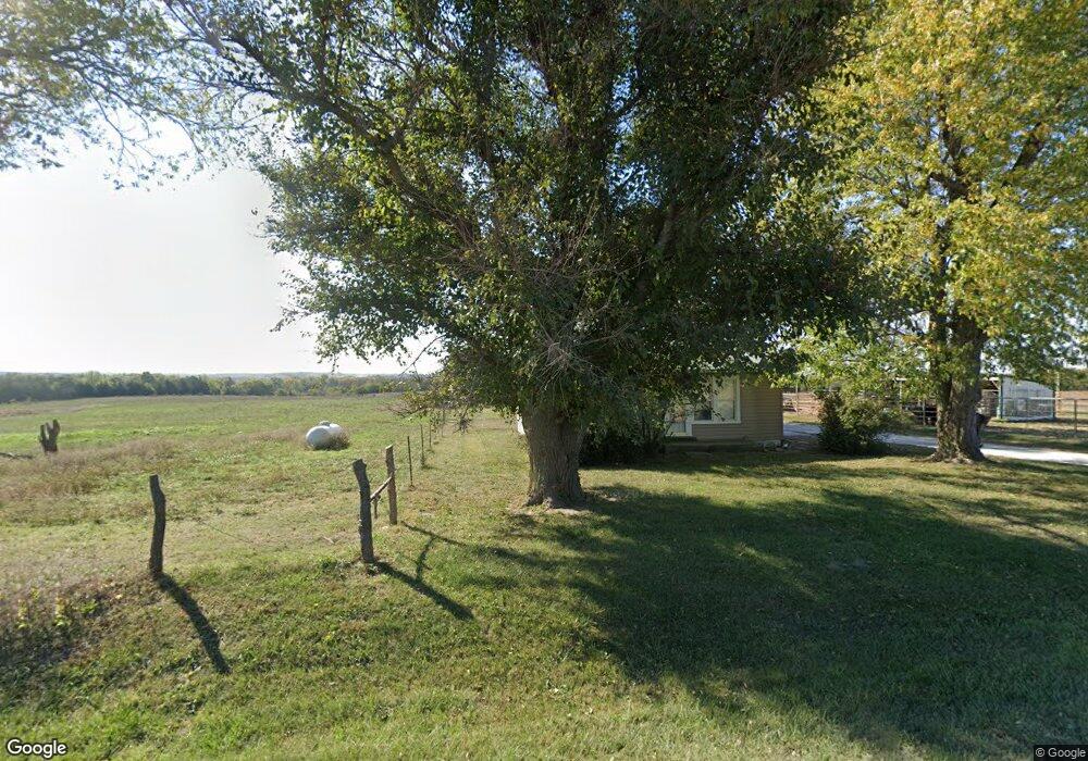
37367 W 351st St Osawatomie, KS 66064
Estimated Value: $177,000 - $381,431
2
Beds
1
Bath
1,032
Sq Ft
$284/Sq Ft
Est. Value
About This Home
This home is located at 37367 W 351st St, Osawatomie, KS 66064 and is currently estimated at $292,810, approximately $283 per square foot. 37367 W 351st St is a home located in Miami County with nearby schools including Swenson Early Childhood Education Center, Trojan Elementary School, and Osawatomie Middle School.
Ownership History
Date
Name
Owned For
Owner Type
Purchase Details
Closed on
Feb 6, 2006
Sold by
Boehm Crystal G
Bought by
Sallee Vernon and Hotsenpiller Christina R
Current Estimated Value
Home Financials for this Owner
Home Financials are based on the most recent Mortgage that was taken out on this home.
Original Mortgage
$133,100
Outstanding Balance
$74,886
Interest Rate
6.19%
Mortgage Type
Future Advance Clause Open End Mortgage
Estimated Equity
$217,924
Create a Home Valuation Report for This Property
The Home Valuation Report is an in-depth analysis detailing your home's value as well as a comparison with similar homes in the area
Home Values in the Area
Average Home Value in this Area
Purchase History
| Date | Buyer | Sale Price | Title Company |
|---|---|---|---|
| Sallee Vernon | -- | Landmark Title Co Inc |
Source: Public Records
Mortgage History
| Date | Status | Borrower | Loan Amount |
|---|---|---|---|
| Open | Sallee Vernon | $133,100 |
Source: Public Records
Tax History Compared to Growth
Tax History
| Year | Tax Paid | Tax Assessment Tax Assessment Total Assessment is a certain percentage of the fair market value that is determined by local assessors to be the total taxable value of land and additions on the property. | Land | Improvement |
|---|---|---|---|---|
| 2025 | $2,295 | $23,191 | $6,376 | $16,815 |
| 2024 | $2,295 | $23,900 | $6,933 | $16,967 |
| 2023 | $2,456 | $24,523 | $6,536 | $17,987 |
| 2022 | $2,169 | $20,777 | $6,302 | $14,475 |
| 2021 | $949 | $0 | $0 | $0 |
| 2020 | $1,791 | $0 | $0 | $0 |
| 2019 | $1,530 | $0 | $0 | $0 |
| 2018 | $1,440 | $0 | $0 | $0 |
| 2017 | $1,371 | $0 | $0 | $0 |
| 2016 | -- | $0 | $0 | $0 |
| 2015 | -- | $0 | $0 | $0 |
| 2014 | -- | $0 | $0 | $0 |
| 2013 | -- | $0 | $0 | $0 |
Source: Public Records
Map
Nearby Homes
- 0 Indianapolis N A Unit HMS2503911
- 38500 W 339th St
- 501 18th St
- 0 W 355th St
- 1734 Main St Unit Terrace
- 1734 Main Street Terrace
- 612 17th St
- 1612 Main St
- 1548 Brown Ave
- 33295 Bethel Church Rd
- 0 Indianapolis Rd
- 1324 Pacific Ave
- 1111 Main St
- 1109 Main St
- 1117 Walnut Ave
- 1015 Main St
- 716 10th St
- 934 Pacific St
- 931 Pacific St
- 921 Brown Ave
- 37155 W 351st St
- 37505 W 351st St
- 37625 W 351st St
- 37089 W 351st St
- 37089 W 351st St
- 37645 W 351st St
- 37761 W 351st St
- 36819 W 351st St
- 35266 Indianapolis Rd
- 36731 W 351st St
- 34930 Indianapolis Rd
- 36690 W 351st St
- 35129 Indianapolis Rd
- 35245 Indianapolis Rd
- 34850 Indianapolis Rd
- 37411 John Brown Hwy
- 35325 Indianapolis Rd
- 36530 W 351st St
- 34905 Indianapolis Rd
- 36495 W 351st St