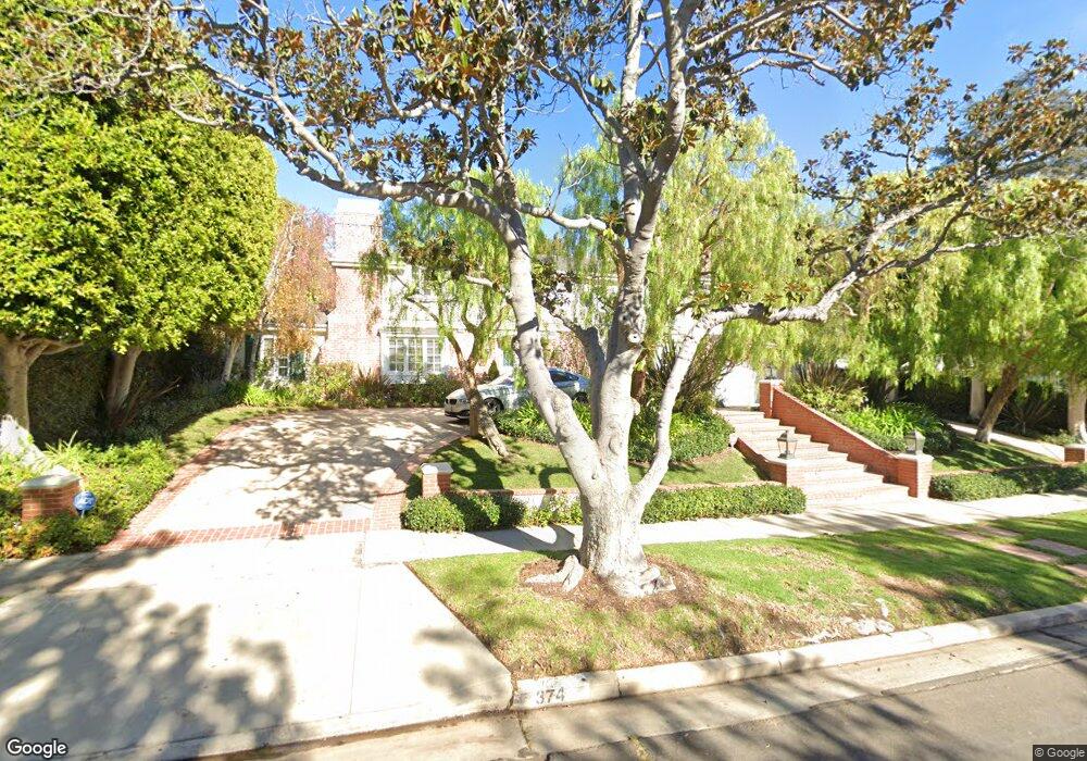
374 Comstock Ave Los Angeles, CA 90024
Westwood NeighborhoodEstimated Value: $6,057,000 - $6,600,000
About This Home
This home is located at 374 Comstock Ave, Los Angeles, CA 90024 and is currently estimated at $6,284,843, approximately $1,320 per square foot. 374 Comstock Ave is a home located in Los Angeles County with nearby schools including Warner Avenue Elementary, Ralph Waldo Emerson Community Charter Middle School, and University High School Charter.
Ownership History
We collect this data history from publicly available records. To have your information removed, we recommend requesting removal directly through your county’s website.
Purchase Details
Home Financials for this Owner
Home Financials are based on the most recent Mortgage that was taken out on this home.Home Values in the Area
Average Home Value in this Area
Purchase History
We collect this data history from publicly available records. To have your information removed, we recommend requesting removal directly through your county’s website.
| Date | Buyer | Sale Price | Title Company |
|---|---|---|---|
| $1,531,000 | Equity Title |
Mortgage History
We collect this data history from publicly available records. To have your information removed, we recommend requesting removal directly through your county’s website.
| Date | Status | Borrower | Loan Amount |
|---|---|---|---|
| Closed | $649,950 |
Tax History
We collect this data history from publicly available records. To have your information removed, we recommend requesting removal directly through your county’s website.
| Year | Tax Paid | Tax Assessment Tax Assessment Total Assessment is a certain percentage of the fair market value that is determined by local assessors to be the total taxable value of land and additions on the property. | Land | Improvement |
|---|---|---|---|---|
| 2025 | $32,713 | $2,694,344 | $981,402 | $1,712,942 |
| 2024 | $32,306 | $2,641,514 | $962,159 | $1,679,355 |
| 2023 | $31,680 | $2,589,721 | $943,294 | $1,646,427 |
| 2022 | $30,209 | $2,538,944 | $924,799 | $1,614,145 |
| 2021 | $29,830 | $2,489,162 | $906,666 | $1,582,496 |
| 2019 | $28,935 | $2,415,334 | $879,775 | $1,535,559 |
| 2018 | $28,802 | $2,367,975 | $862,525 | $1,505,450 |
| 2016 | $27,536 | $2,276,026 | $829,033 | $1,446,993 |
| 2015 | $27,132 | $2,241,839 | $816,581 | $1,425,258 |
| 2014 | $27,208 | $2,197,926 | $800,586 | $1,397,340 |
Map
- 365 Comstock Ave
- 436 Loring Ave
- 444 Loring Ave
- 453 Dalehurst Ave
- 214 S Beverly Glen Blvd
- 501 Woodruff Ave
- 521 Loring Ave
- 101 Bel Air Rd
- 10250 W Sunset Blvd
- 133 S Mapleton Dr
- 570 S Mapleton Dr
- 107 Delfern Dr
- 560 Loring Ave
- 112 N Beverly Glen Blvd
- 660 Club View Dr
- 145 N Mapleton Dr
- 740 Warner Ave
- 422 Parkwood Dr
- 10644 Bellagio Rd
- 760 Westholme Ave
- 322 Loring Ave
- 328 Loring Ave
- 314 Loring Ave
- 329 Conway Ave
- 337 Conway Ave
- 336 Loring Ave
- 308 Loring Ave
- 321 Conway Ave
- 347 Conway Ave
- 317 Loring Ave
- 315 Conway Ave
- 10440 Charing Cross Rd
- 333 Loring Ave
- 301 Loring Ave
- 301 Conway Ave
- 400 Loring Ave
- 291 Loring Ave
- 366 Comstock Ave
- 332 Conway Ave
- 324 Conway Ave
Ask me questions while you tour the home.