Estimated Value: $280,271 - $349,000
--
Bed
3
Baths
2,136
Sq Ft
$145/Sq Ft
Est. Value
About This Home
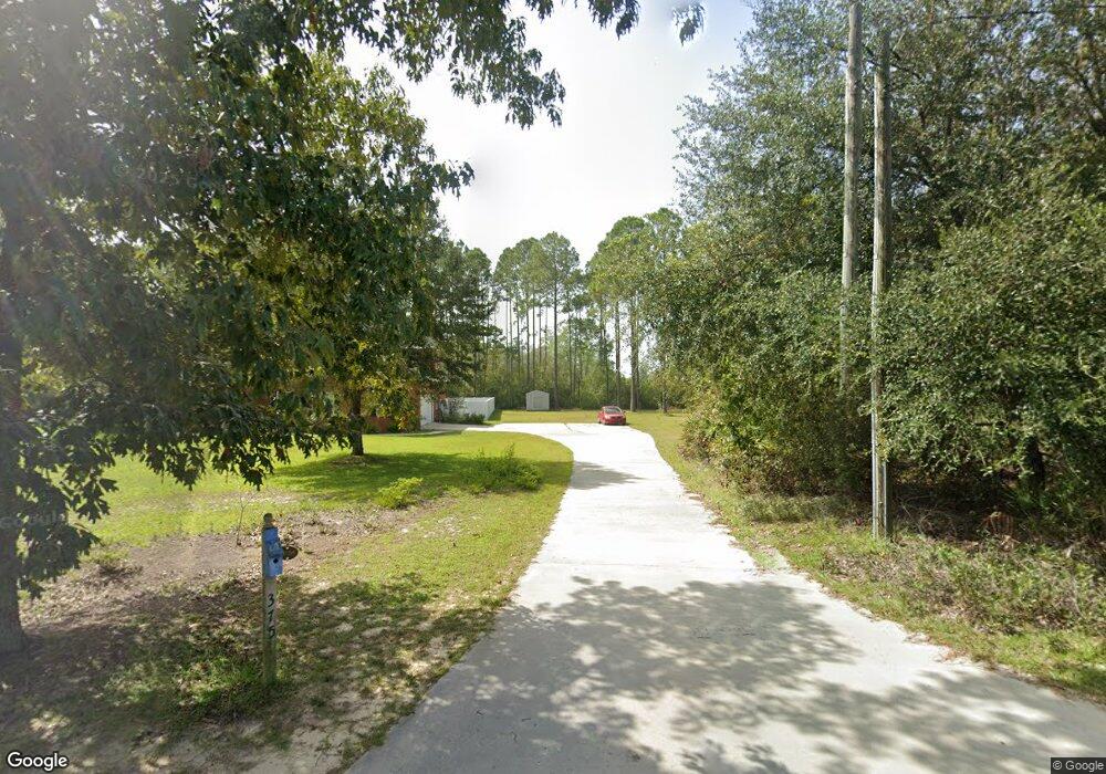
This home is located at 375 Cameron Rd, Jesup, GA 31545 and is currently estimated at $309,818, approximately $145 per square foot. 375 Cameron Rd is a home located in Wayne County with nearby schools including Bacon Elementary School, Martha Puckett Middle School, and Wayne County High School.
Ownership History
Date
Name
Owned For
Owner Type
Purchase Details
Closed on
Dec 28, 2018
Sold by
Poppell Matthew
Bought by
Auldridge Andrew R and Auldridge Jessica Ann
Current Estimated Value
Home Financials for this Owner
Home Financials are based on the most recent Mortgage that was taken out on this home.
Original Mortgage
$257,000
Outstanding Balance
$225,980
Interest Rate
4.8%
Mortgage Type
New Conventional
Estimated Equity
$83,838
Purchase Details
Closed on
Aug 19, 2016
Sold by
James P and Brinson Kimberly L
Bought by
Poppell Matthew and Poppell Robin
Home Financials for this Owner
Home Financials are based on the most recent Mortgage that was taken out on this home.
Original Mortgage
$260,200
Interest Rate
3.37%
Mortgage Type
FHA
Purchase Details
Closed on
Oct 1, 2004
Bought by
Brinson James P and Brinson Kimberly L
Create a Home Valuation Report for This Property
The Home Valuation Report is an in-depth analysis detailing your home's value as well as a comparison with similar homes in the area
Home Values in the Area
Average Home Value in this Area
Purchase History
| Date | Buyer | Sale Price | Title Company |
|---|---|---|---|
| Auldridge Andrew R | $282,000 | -- | |
| Poppell Matthew | $265,000 | -- | |
| Brinson James P | -- | -- |
Source: Public Records
Mortgage History
| Date | Status | Borrower | Loan Amount |
|---|---|---|---|
| Open | Auldridge Andrew R | $257,000 | |
| Previous Owner | Poppell Matthew | $260,200 |
Source: Public Records
Tax History Compared to Growth
Tax History
| Year | Tax Paid | Tax Assessment Tax Assessment Total Assessment is a certain percentage of the fair market value that is determined by local assessors to be the total taxable value of land and additions on the property. | Land | Improvement |
|---|---|---|---|---|
| 2024 | $2,310 | $92,187 | $5,621 | $86,566 |
| 2023 | $2,766 | $92,187 | $5,621 | $86,566 |
| 2022 | $2,745 | $92,187 | $5,621 | $86,566 |
| 2021 | $2,940 | $92,187 | $5,621 | $86,566 |
| 2020 | $3,036 | $92,026 | $5,460 | $86,566 |
| 2019 | $3,126 | $92,026 | $5,460 | $86,566 |
| 2018 | $3,126 | $92,026 | $5,460 | $86,566 |
| 2017 | $2,846 | $92,026 | $5,460 | $86,566 |
| 2016 | $2,604 | $92,026 | $5,460 | $86,566 |
| 2014 | $2,611 | $92,026 | $5,460 | $86,566 |
| 2013 | -- | $92,026 | $5,460 | $86,566 |
Source: Public Records
Map
Nearby Homes
- 129 Norris Dr
- 1351 Old Screven Rd
- 3808 Waycross Hwy
- 675 Foxwood Cir
- 188 Bennetts Cir
- 168 Nature Cir
- 1435 Bennett Crossing
- 7014 Waycross Hwy
- 1361 Joey Williamson Rd
- 7114 Waycross Hwy
- 7132 Waycross Hwy
- 1361 Joey Williamson Rd Jesup Ga
- 00 Photonia Ave
- 125 Sugar Maple St
- 113 Tift St
- TRACT 1 Sunset Blvd
- 00 Sunset Blvd
- 0 Sunset Blvd
- TRACT 2 Sunset Blvd
- 118 Charlton St
- 375 Cameron Rd
- 400 Cameron Rd
- 341 Cameron Rd
- 535 Cameron Rd
- 520 Cameron Rd
- 242 Cameron Rd
- 550 Cameron Rd
- 186 Mohawk Trail
- 70 Ricks Place
- 218 Cameron Rd
- 60 Ricks Place
- 589 Cameron Rd
- 63 Ricks Place
- 592 Cameron Rd
- 168 Cameron Rd
- 42 Ricks Place
- 185 Cameron Rd
- 45 Ricks Place
- 133 Indigo Ln
- 631 Cameron Rd