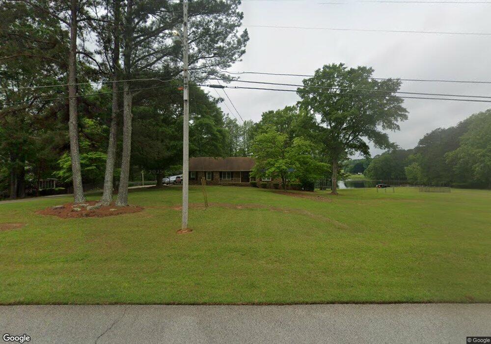
375 Michael Rd Tyrone, GA 30290
Tyrone AreaEstimated Value: $353,746 - $425,000
About This Home
This home is located at 375 Michael Rd, Tyrone, GA 30290 and is currently estimated at $400,915, approximately $194 per square foot. 375 Michael Rd is a home located in Fayette County with nearby schools including Robert J. Burch Elementary School, Flat Rock Middle School, and Sandy Creek High School.
Ownership History
We collect this data history from publicly available records. To have your information removed, we recommend requesting removal directly through your county’s website.
Purchase Details
Home Financials for this Owner
Home Financials are based on the most recent Mortgage that was taken out on this home.Purchase Details
Home Financials for this Owner
Home Financials are based on the most recent Mortgage that was taken out on this home.Purchase Details
Home Values in the Area
Average Home Value in this Area
Purchase History
We collect this data history from publicly available records. To have your information removed, we recommend requesting removal directly through your county’s website.
| Date | Buyer | Sale Price | Title Company |
|---|---|---|---|
| $175,000 | -- | ||
| $145,000 | -- | ||
| $137,500 | -- |
Mortgage History
We collect this data history from publicly available records. To have your information removed, we recommend requesting removal directly through your county’s website.
| Date | Status | Borrower | Loan Amount |
|---|---|---|---|
| Open | $166,000 | ||
| Previous Owner | $115,000 |
Tax History
We collect this data history from publicly available records. To have your information removed, we recommend requesting removal directly through your county’s website.
| Year | Tax Paid | Tax Assessment Tax Assessment Total Assessment is a certain percentage of the fair market value that is determined by local assessors to be the total taxable value of land and additions on the property. | Land | Improvement |
|---|---|---|---|---|
| 2025 | $2,908 | $148,080 | $23,540 | $124,540 |
| 2024 | $2,831 | $112,860 | $22,000 | $90,860 |
| 2023 | $2,400 | $112,860 | $22,000 | $90,860 |
| 2022 | $2,377 | $123,920 | $22,000 | $101,920 |
| 2021 | $2,304 | $76,594 | $14,400 | $62,194 |
| 2020 | $2,314 | $76,594 | $14,400 | $62,194 |
| 2019 | $2,413 | $92,960 | $14,400 | $78,560 |
| 2018 | $2,425 | $78,600 | $14,400 | $64,200 |
| 2017 | $2,103 | $80,320 | $14,400 | $65,920 |
| 2016 | $2,104 | $67,000 | $14,400 | $52,600 |
| 2015 | $1,883 | $59,280 | $14,400 | $44,880 |
| 2014 | $1,683 | $52,400 | $14,400 | $38,000 |
| 2013 | -- | $50,880 | $0 | $0 |
Map
- 717 Tyrone Rd
- 210 Scott Blvd
- 285 Pendleton Trail
- 195 Farr Lake Dr
- 250 Chimney Springs
- 125 Farr Lake Dr
- 120 Shank Hill Ridge
- 365 Pendleton Trail
- 919 Tyrone Rd
- 135 Pendleton Trail
- 140 Scott Blvd
- 185 Chimney Springs
- 279 Ellison Rd
- 205 Hedgewick Way
- 105 Scott Blvd
- 175 Weeping Willow Way
- 100 Clay Ct
- 130 Wickham Dr
- 125 Vista Ln
- 375 Gaelic Way
- 385 Michael Rd
- 395 Michael Rd
- 365 Michael Rd
- 370 Michael Rd
- 405 Michael Rd
- 360 Michael Rd
- 355 Michael Rd
- 515 Anthony Dr
- 525 Anthony Dr
- 380 Michael Rd
- 350 Michael Rd
- 555 Anthony Dr
- 505 Anthony Dr
- 505 Anthony Dr Unit 105
- 400 Michael Rd
- 390 Michael Rd
- 775 Tyrone Rd
- 785 Tyrone Rd
- 785 Tyrone Rd Unit 43
- 565 Anthony Dr
Ask me questions while you tour the home.