375 Snow Bird Lp Loop Tahoma, CA 96142
Estimated Value: $507,000 - $1,146,000
2
Beds
2
Baths
576
Sq Ft
$1,466/Sq Ft
Est. Value
About This Home
This home is located at 375 Snow Bird Lp Loop, Tahoma, CA 96142 and is currently estimated at $844,302, approximately $1,465 per square foot. 375 Snow Bird Lp Loop is a home with nearby schools including Tahoe Lake Elementary School, North Tahoe School, and North Tahoe High School.
Ownership History
Date
Name
Owned For
Owner Type
Purchase Details
Closed on
Feb 13, 2008
Sold by
Simpson Elaine J
Bought by
Simpson Elaine J
Current Estimated Value
Purchase Details
Closed on
Oct 15, 1997
Sold by
Simpson Elaine J
Bought by
Simpson Elaine J
Home Financials for this Owner
Home Financials are based on the most recent Mortgage that was taken out on this home.
Original Mortgage
$116,000
Interest Rate
7.49%
Mortgage Type
Purchase Money Mortgage
Create a Home Valuation Report for This Property
The Home Valuation Report is an in-depth analysis detailing your home's value as well as a comparison with similar homes in the area
Home Values in the Area
Average Home Value in this Area
Purchase History
| Date | Buyer | Sale Price | Title Company |
|---|---|---|---|
| Simpson Elaine J | -- | None Available | |
| Simpson Elaine J | -- | First American Title Guarant |
Source: Public Records
Mortgage History
| Date | Status | Borrower | Loan Amount |
|---|---|---|---|
| Closed | Simpson Elaine J | $116,000 |
Source: Public Records
Tax History
| Year | Tax Paid | Tax Assessment Tax Assessment Total Assessment is a certain percentage of the fair market value that is determined by local assessors to be the total taxable value of land and additions on the property. | Land | Improvement |
|---|---|---|---|---|
| 2025 | $4,738 | $361,398 | $71,677 | $289,721 |
| 2023 | $4,738 | $347,367 | $68,895 | $278,472 |
| 2022 | $4,494 | $340,557 | $67,545 | $273,012 |
| 2021 | $4,212 | $321,984 | $64,000 | $257,984 |
| 2020 | $3,817 | $282,240 | $56,000 | $226,240 |
| 2019 | $3,908 | $282,240 | $56,000 | $226,240 |
| 2018 | $3,148 | $244,800 | $49,000 | $195,800 |
| 2017 | $2,824 | $216,000 | $43,000 | $173,000 |
| 2016 | $2,804 | $213,120 | $42,000 | $171,120 |
| 2015 | $3,752 | $300,710 | $59,643 | $241,067 |
| 2014 | $3,647 | $294,820 | $58,475 | $236,345 |
Source: Public Records
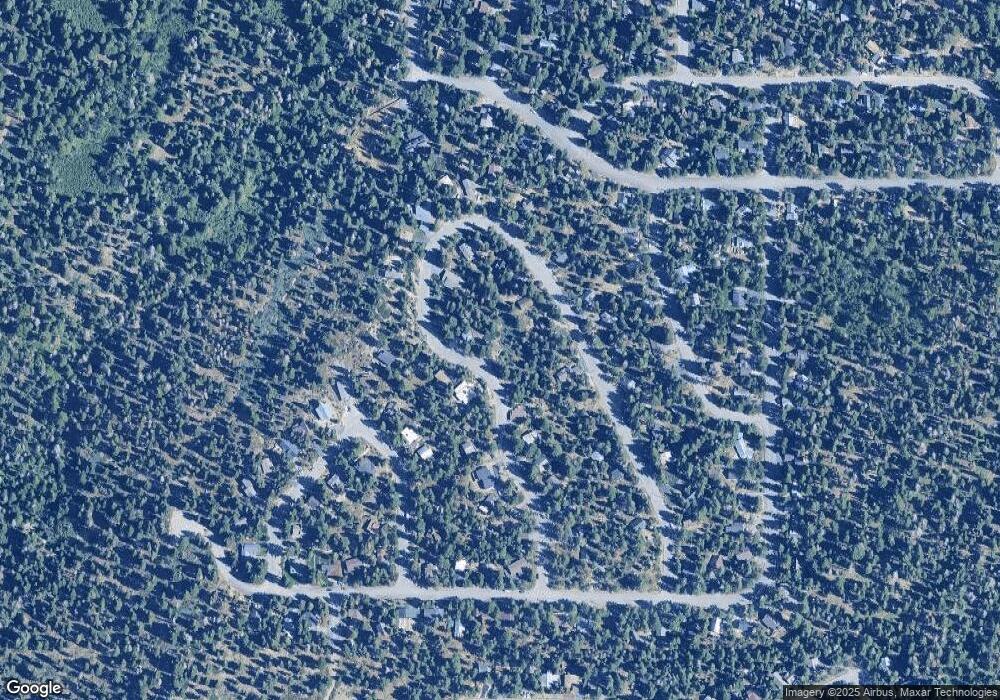
Map
Nearby Homes
- 295 Snowbird Loop
- 460 Grouse Dr
- 6370 Flicker Ave
- 563 Robin Rd
- 6400 W Lake Blvd Unit 42
- 6400 W Lake Blvd Unit 2
- 1025 Woodside Dr
- 551 Mckinney Rd
- 6705 W Lake Blvd
- 7112 10th Ave
- 7069 9th Ave Unit B
- 7148 9th Ave
- 7132 8th Ave
- 7064 6th Ave
- 405 Oak St
- 7282 9th Ave
- 7239 5th Ave
- 7112 5th Ave
- 7115 Wilson Ave
- 5020 W Lake Blvd
- 365 Snow Bird Lp Loop
- 295 Snow Bird Lp Loop
- 390 Snow Bird Lp Loop
- 305 Snow Bird Lp Loop
- 380 Snow Bird Lp Loop
- 395 Snow Bird Lp Loop
- 315 Snow Bird Lp Loop
- 275 Snow Bird Lp Loop
- 325 Snow Bird Lp Loop
- 400 Snow Bird Lp Loop
- 345 Snow Bird Lp Loop
- 405 Snow Bird Lp Loop
- 270 Snow Bird Lp Loop
- 410 Snow Bird Lp Loop
- 335 Snowbird Loop
- 335 Snow Bird Loop
- 290 Snow Bird Lp Loop
- 370 Snow Bird Lp Loop
- 260 Snow Bird Lp Loop
- 370 Snowbird Loop
Your Personal Tour Guide
Ask me questions while you tour the home.