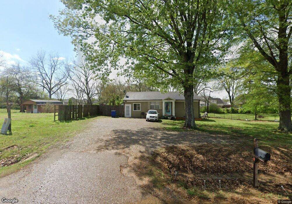
3755 Highway 305 N Olive Branch, MS 38654
Lewisburg NeighborhoodEstimated Value: $164,000 - $227,000
2
Beds
1
Bath
951
Sq Ft
$202/Sq Ft
Est. Value
About This Home
This home is located at 3755 Highway 305 N, Olive Branch, MS 38654 and is currently estimated at $192,556, approximately $202 per square foot. 3755 Highway 305 N is a home located in DeSoto County with nearby schools including Lewisburg Primary School, Lewisburg Elementary School, and Lewisburg Middle School.
Ownership History
Date
Name
Owned For
Owner Type
Purchase Details
Closed on
Aug 27, 2023
Sold by
Ashcraft Sarah
Bought by
Flynn Cynthia F
Current Estimated Value
Purchase Details
Closed on
Aug 26, 2016
Sold by
Merritt Ronald D
Bought by
Ashcraft Sarah
Purchase Details
Closed on
Mar 2, 2011
Sold by
Abbott John S and Abbott Blanchie V
Bought by
Merritt Ronald D
Home Financials for this Owner
Home Financials are based on the most recent Mortgage that was taken out on this home.
Original Mortgage
$82,845
Interest Rate
4.76%
Mortgage Type
FHA
Purchase Details
Closed on
Feb 26, 2011
Sold by
Mcgee Sharon Louise Abbott and Abbott Marion Marie
Bought by
Abbott John S and Abbott Blanche
Home Financials for this Owner
Home Financials are based on the most recent Mortgage that was taken out on this home.
Original Mortgage
$82,845
Interest Rate
4.76%
Mortgage Type
FHA
Create a Home Valuation Report for This Property
The Home Valuation Report is an in-depth analysis detailing your home's value as well as a comparison with similar homes in the area
Home Values in the Area
Average Home Value in this Area
Purchase History
| Date | Buyer | Sale Price | Title Company |
|---|---|---|---|
| Flynn Cynthia F | -- | Realty Title | |
| Ashcraft Sarah | -- | None Available | |
| Merritt Ronald D | -- | None Available | |
| Abbott John S | -- | None Available |
Source: Public Records
Mortgage History
| Date | Status | Borrower | Loan Amount |
|---|---|---|---|
| Previous Owner | Merritt Ronald D | $82,845 |
Source: Public Records
Tax History Compared to Growth
Tax History
| Year | Tax Paid | Tax Assessment Tax Assessment Total Assessment is a certain percentage of the fair market value that is determined by local assessors to be the total taxable value of land and additions on the property. | Land | Improvement |
|---|---|---|---|---|
| 2025 | $850 | $6,229 | $1,500 | $4,729 |
| 2024 | $653 | $4,782 | $1,500 | $3,282 |
| 2023 | $653 | $4,782 | $0 | $0 |
| 2022 | $465 | $4,782 | $1,500 | $3,282 |
| 2021 | $465 | $4,782 | $1,500 | $3,282 |
| 2020 | $270 | $4,520 | $1,500 | $3,020 |
| 2019 | $270 | $4,520 | $1,500 | $3,020 |
| 2017 | $273 | $7,418 | $4,459 | $2,959 |
| 2016 | $650 | $6,392 | $2,250 | $4,142 |
| 2015 | $650 | $10,534 | $6,392 | $4,142 |
| 2014 | $650 | $6,392 | $0 | $0 |
| 2013 | $650 | $6,392 | $0 | $0 |
Source: Public Records
Map
Nearby Homes
- 9159 Mitchells Farm Cove
- 3914 Saddle Bend
- 9143 Apple Orchard Cove
- 9112 Cedar Barn Cove
- 3576 Holly Cove
- 6606 Mississippi 305
- 6279 Mississippi 305
- Willow Plan at The Orchard
- Huntington Plan at The Orchard
- Albany Plan at The Orchard
- Chestnut Plan at The Orchard
- Bentley Plan at The Orchard
- Plan 2020 at Old River Farms
- Plan 2200 at Old River Farms
- Plan 2030 - B at Old River Farms
- Plan 2029 at Old River Farms
- 4147 Olivia Cir W
- 8465 Belmor Lakes Dr
- 4185 Olivia Cir W
- 4201 Olivia Cir W
- 3755 Mississippi 305
- 3755 Highway 305 N
- 3721 Highway 305 N
- 3755 Highway Unit 305
- 8929 Mitchell Grove Rd S
- 8919 Mitchell Grove Rd S
- 3810 Mitchell Grove Rd E
- 3773 Mitchells Corner Rd W
- 8924 Cameron St
- 3803 Mitchells Corner Rd W
- 3656 Rutledge Rd
- 3699 Mitchells Corner Rd W
- 8899 Mitchell Grove Rd S
- 3836 Mitchell Grove Rd E
- 3727 Mitchell''S Corner Rd
- 8910 Cameron St
- 3827 Mitchells Corner Rd W
- 3766 Mitchell's Corner Rd W
- 3693 Mitchell''S Corner Rd W
- 8888 Cameron St