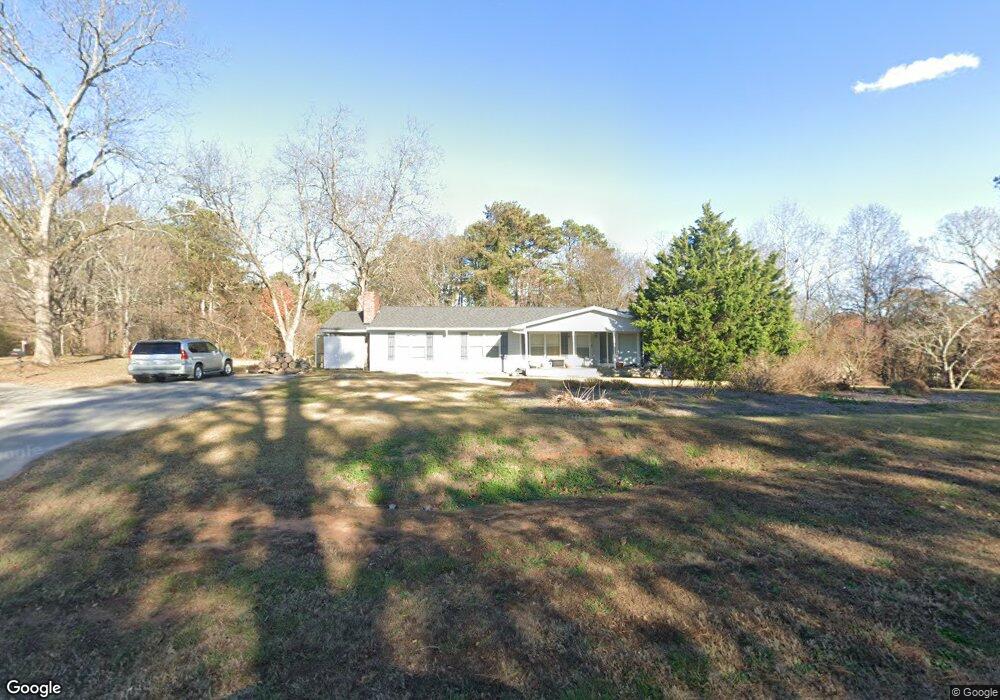
3767 S Bogan Rd Buford, GA 30519
Estimated Value: $485,000 - $1,431,354
3
Beds
2
Baths
1,644
Sq Ft
$487/Sq Ft
Est. Value
About This Home
This home is located at 3767 S Bogan Rd, Buford, GA 30519 and is currently estimated at $800,785, approximately $487 per square foot. 3767 S Bogan Rd is a home with nearby schools including Harmony Elementary School, Glenn C. Jones Middle School, and Sugar Hill Christian Academy.
Ownership History
Date
Name
Owned For
Owner Type
Purchase Details
Closed on
Apr 4, 2013
Sold by
Halcyon Partners Lp
Bought by
Gwinnett County
Current Estimated Value
Purchase Details
Closed on
Oct 1, 2002
Sold by
Pruitt Glyndon C and Pruitt Deanna W
Bought by
Halcyon Partners Lp
Purchase Details
Closed on
Jun 8, 2000
Sold by
Masters Gene and Masters Mildred B
Bought by
Masters Living Trust
Purchase Details
Closed on
May 23, 1994
Sold by
Pruitt Deanna W Glyndon
Bought by
Masters Gene C Mildred
Home Financials for this Owner
Home Financials are based on the most recent Mortgage that was taken out on this home.
Original Mortgage
$92,000
Interest Rate
8.27%
Create a Home Valuation Report for This Property
The Home Valuation Report is an in-depth analysis detailing your home's value as well as a comparison with similar homes in the area
Home Values in the Area
Average Home Value in this Area
Purchase History
| Date | Buyer | Sale Price | Title Company |
|---|---|---|---|
| Gwinnett County | $36,000 | -- | |
| Halcyon Partners Lp | -- | -- | |
| Masters Living Trust | -- | -- | |
| Masters Gene C Mildred | $115,000 | -- |
Source: Public Records
Mortgage History
| Date | Status | Borrower | Loan Amount |
|---|---|---|---|
| Previous Owner | Masters Gene C Mildred | $92,000 |
Source: Public Records
Tax History Compared to Growth
Tax History
| Year | Tax Paid | Tax Assessment Tax Assessment Total Assessment is a certain percentage of the fair market value that is determined by local assessors to be the total taxable value of land and additions on the property. | Land | Improvement |
|---|---|---|---|---|
| 2024 | $3,264 | $365,920 | $314,920 | $51,000 |
| 2023 | $3,264 | $310,880 | $259,880 | $51,000 |
| 2022 | $2,894 | $203,680 | $151,640 | $52,040 |
| 2021 | $2,922 | $203,680 | $151,640 | $52,040 |
| 2020 | $2,932 | $203,680 | $151,640 | $52,040 |
| 2019 | $1,453 | $153,960 | $128,360 | $25,600 |
| 2018 | $1,440 | $153,960 | $128,360 | $25,600 |
| 2016 | $1,448 | $153,960 | $128,360 | $25,600 |
| 2015 | $1,458 | $153,960 | $128,360 | $25,600 |
| 2014 | $1,739 | $133,120 | $99,640 | $33,480 |
Source: Public Records
Map
Nearby Homes
- 3600 Devenwood Way
- 2361 Black Bear Ct Unit 2
- 3684 Heritage Crest Pkwy
- 2692 Bogan Creek Dr
- 2183 Ivy Crest Dr
- 4041 Lost Mill Ln
- 2140 Harvest Ridge Cir
- 2551 E Maddox Rd
- 2040 Harvest Ridge Cir
- 2040 Harvest Ridge Cir NE
- 3685 Rolling Creek Dr
- 2101 E Maddox Rd
- 2398 E Maddox Rd
- 2330 Chandler Grove Dr
- 4017 S South Bogan Rd
- 3665 Mystic Dr Unit 2
- 3476 Harvest Ridge Ln
- 3573 Fallen Oak Dr
- 3661 Devenwood Way
- 2275 Quail Creek Terrace
- 3651 Devenwood Way
- 3671 Devenwood Way
- 2284 Quail Creek Terrace Unit 1
- 3681 Devenwood Way
- 2297 Quail Spring Trail
- 2286 Quail Spring Trail
- 3701 Devenwood Way
- 2285 Quail Creek Terrace Unit 1
- 3670 Devenwood Way
- 3650 Devenwood Way
- 0 S Bogan Rd
- 3711 Devenwood Way
- 3631 Devenwood Way
- 3680 Devenwood Way
- 2304 Quail Creek Terrace
- 2307 Quail Spring Trail
- 2306 Quail Spring Trail Unit 4
- 3600 Quail Creek Dr