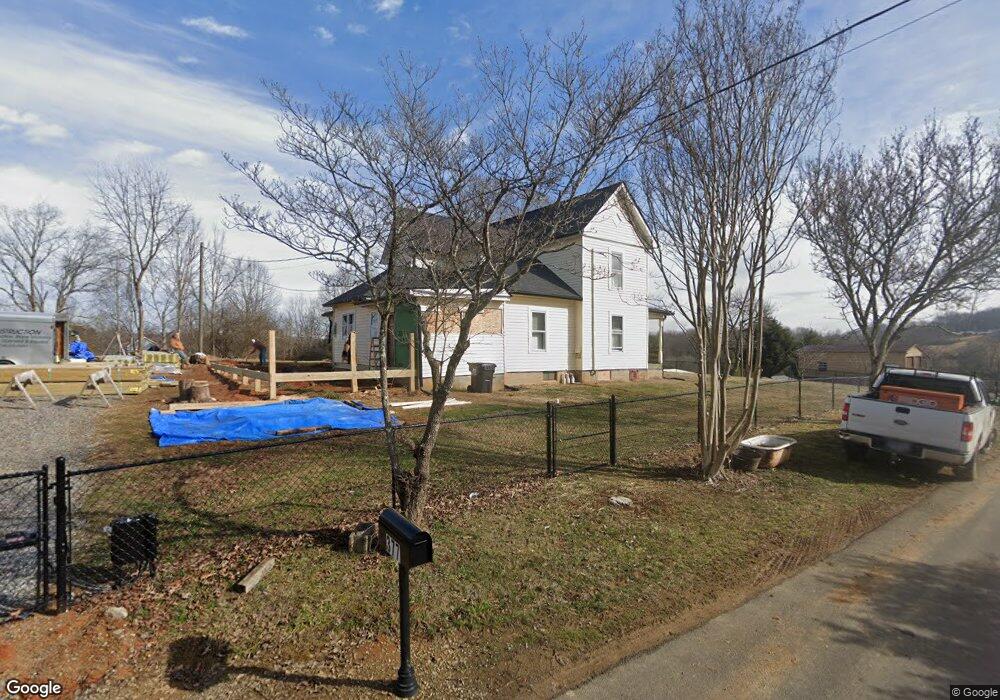
377 Brown Cir Blountville, TN 37617
Estimated Value: $163,000 - $637,000
--
Bed
2
Baths
2,273
Sq Ft
$184/Sq Ft
Est. Value
About This Home
This home is located at 377 Brown Cir, Blountville, TN 37617 and is currently estimated at $417,717, approximately $183 per square foot. 377 Brown Cir is a home located in Sullivan County with nearby schools including Holston Elementary School, Sullivan Central Middle School, and Tri-Cities Christian Academy.
Ownership History
Date
Name
Owned For
Owner Type
Purchase Details
Closed on
Aug 14, 2023
Sold by
Eaton Wanda and Eaton Dennis
Bought by
Manis Gabriel and Manis Sarah
Current Estimated Value
Home Financials for this Owner
Home Financials are based on the most recent Mortgage that was taken out on this home.
Original Mortgage
$80,750
Outstanding Balance
$78,910
Interest Rate
6.81%
Mortgage Type
New Conventional
Estimated Equity
$338,807
Purchase Details
Closed on
Mar 19, 2014
Sold by
Brown Ronald W
Bought by
Minor Daniel B and Minor Rita
Purchase Details
Closed on
Dec 5, 2010
Sold by
Brown Howard W
Bought by
Brown Ronald W
Purchase Details
Closed on
Jun 30, 2010
Sold by
Brown Howard W
Bought by
Eaton Wanda
Purchase Details
Closed on
Apr 9, 1998
Bought by
Lydon Joseph H and Lydon Jennifer
Purchase Details
Closed on
Nov 21, 1994
Sold by
Brown Howard W
Bought by
Brown Terry W
Create a Home Valuation Report for This Property
The Home Valuation Report is an in-depth analysis detailing your home's value as well as a comparison with similar homes in the area
Home Values in the Area
Average Home Value in this Area
Purchase History
| Date | Buyer | Sale Price | Title Company |
|---|---|---|---|
| Manis Gabriel | $85,000 | None Listed On Document | |
| Minor Daniel B | -- | -- | |
| Brown Ronald W | -- | -- | |
| Brown Ronald W | -- | -- | |
| Eaton Wanda | -- | -- | |
| Lydon Joseph H | $32,500 | -- | |
| Brown Terry W | $4,000 | -- |
Source: Public Records
Mortgage History
| Date | Status | Borrower | Loan Amount |
|---|---|---|---|
| Open | Manis Gabriel | $80,750 |
Source: Public Records
Tax History Compared to Growth
Tax History
| Year | Tax Paid | Tax Assessment Tax Assessment Total Assessment is a certain percentage of the fair market value that is determined by local assessors to be the total taxable value of land and additions on the property. | Land | Improvement |
|---|---|---|---|---|
| 2024 | $1,014 | $40,625 | $13,400 | $27,225 |
| 2023 | $978 | $40,625 | $13,400 | $27,225 |
| 2022 | $978 | $40,625 | $13,400 | $27,225 |
| 2021 | $978 | $40,625 | $13,400 | $27,225 |
| 2020 | $1,010 | $40,625 | $13,400 | $27,225 |
| 2019 | $1,010 | $39,300 | $13,400 | $25,900 |
| 2018 | $1,002 | $39,300 | $13,400 | $25,900 |
| 2017 | $1,002 | $39,300 | $13,400 | $25,900 |
| 2016 | $763 | $29,625 | $13,400 | $16,225 |
| 2014 | -- | $29,624 | $0 | $0 |
Source: Public Records
Map
Nearby Homes
- 295 Brown Cir
- 290 Candy Creek Private Dr
- 239 Brown Cir
- 156 Forest Ln N
- 164 Forest Ln N
- 112 Cardinal Point
- Tbd Yoakley Rd
- 129 Forest Ln N
- 225 Forest Ln N
- 148 Forest Ln S
- 205 Grande Harbor Way
- 191 Grande Harbor Way
- 145 Grande Harbor Way
- 205 Forest Ct
- 304 Rutledge Ln
- Tbd Old Muddy Creek Rd
- 780 Hamilton Rd Unit 6
- 780 Hamilton Rd Unit I-4
- 412 Haw Ridge Rd E
- 341 Haw Ridge Rd E
- 315 Candy Cove Private Dr
- 315 Candy Cove Private Dr
- 304 Candy Cove Private Dr
- 393 Brown Cir
- 232 Sandy Point Dr
- 232 Sandy Pointe St
- 344 Brown Cir
- 311 Candy Cove Private Dr
- 309 Candy Cove Private Dr
- 376 Brown Cir
- 241 Sandy Point Dr
- 132 Barefoot Landings Dr
- 341 Brown Cir
- 132 Barefoot Landing Dr
- 136 Barefoot Landing Dr
- 128 Barefoot Landing Dr
- 136 Barefoot Landings Dr
- 124 Barefoot Landing Dr
- 128 Barefoot Landings Dr
- 124 Barefoot Landings Dr