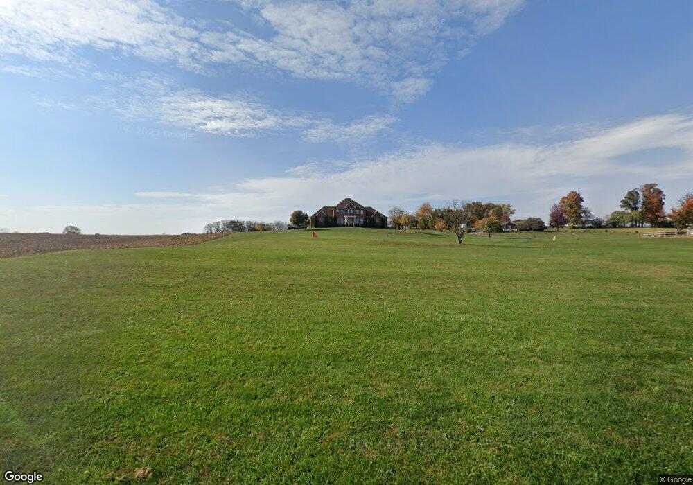
377 Currie Rd Ranson, WV 25438
Estimated Value: $621,000 - $958,028
5
Beds
5
Baths
4,628
Sq Ft
$170/Sq Ft
Est. Value
About This Home
This home is located at 377 Currie Rd, Ranson, WV 25438 and is currently estimated at $786,757, approximately $169 per square foot. 377 Currie Rd is a home with nearby schools including T.A. Lowery Elementary School, Wildwood Middle School, and Jefferson High School.
Ownership History
Date
Name
Owned For
Owner Type
Purchase Details
Closed on
Jun 22, 2011
Sold by
Secretary Of Hud
Bought by
Threadgill Willim and Threadgill Leslie
Current Estimated Value
Home Financials for this Owner
Home Financials are based on the most recent Mortgage that was taken out on this home.
Original Mortgage
$358,000
Outstanding Balance
$236,897
Interest Rate
3.87%
Mortgage Type
Adjustable Rate Mortgage/ARM
Estimated Equity
$549,860
Create a Home Valuation Report for This Property
The Home Valuation Report is an in-depth analysis detailing your home's value as well as a comparison with similar homes in the area
Home Values in the Area
Average Home Value in this Area
Purchase History
| Date | Buyer | Sale Price | Title Company |
|---|---|---|---|
| Threadgill Willim | -- | None Available | |
| Patton Archie Ray | $68,715 | None Available |
Source: Public Records
Mortgage History
| Date | Status | Borrower | Loan Amount |
|---|---|---|---|
| Open | Threadgill Willim | $358,000 |
Source: Public Records
Tax History Compared to Growth
Tax History
| Year | Tax Paid | Tax Assessment Tax Assessment Total Assessment is a certain percentage of the fair market value that is determined by local assessors to be the total taxable value of land and additions on the property. | Land | Improvement |
|---|---|---|---|---|
| 2025 | $6,011 | $517,300 | $122,900 | $394,400 |
| 2024 | $5,682 | $485,400 | $122,900 | $362,500 |
| 2023 | $5,669 | $485,400 | $122,900 | $362,500 |
| 2022 | $5,139 | $431,300 | $115,000 | $316,300 |
| 2021 | $4,737 | $390,000 | $107,000 | $283,000 |
| 2020 | $4,430 | $389,300 | $103,000 | $286,300 |
| 2019 | $4,505 | $388,500 | $99,100 | $289,400 |
| 2018 | $4,431 | $377,200 | $95,100 | $282,100 |
| 2017 | $4,374 | $372,400 | $87,200 | $285,200 |
| 2016 | $4,488 | $383,100 | $97,900 | $285,200 |
| 2015 | $4,338 | $368,300 | $97,900 | $270,400 |
| 2014 | $3,856 | $328,000 | $75,300 | $252,700 |
Source: Public Records
Map
Nearby Homes
- 1 Braxton Ave
- 0 Braxton Ave
- Homesite 211 Sherman Ave
- Homesite 458 Sherman Ave
- 26 Sherman Ave
- 0 Lot 427 Gerry St Unit WVJF2020406
- Homesite 499 Sherman Ave
- 10 Sherman Ave
- Homesite 377 Sherman Ave
- 96 Sumter Ave
- 91 Thornton Ave
- 82 Thornton Ave
- 70 Thornton Ave
- 0 Sumter Ave
- 226 Huntwell West Ave
- 184 Huntwell Blvd W
- 180 Huntwell Blvd W
- 225 Huntwell West Ave
- 200 Huntwell Ave W
- 221 Huntwell West Ave
- 381 Currie Rd
- 441 Thistle Ridge Ln
- 3817 Old Leetown Pike
- 351 Thistle Ridge Ln
- 615 Lone Oak Rd
- 3643 Old Leetown Pike
- 48 Lone Oak Rd
- 34 Cabinetmaker Ln
- 3708 Old Leetown Pike
- 3587 Old Leetown Pike
- 3579 Old Leetown Pike
- 348 National St
- 4070 Old Leetown Pike
- 35 Cabinetmaker Ln
- 69 Lone Oak Rd
- 521 N Forrest St
- 32 Cabinetmaker Ln
- 686 Currie Rd
- 3688 Old Leetown Pike
- Lot 3 Cabinetmaker Ln