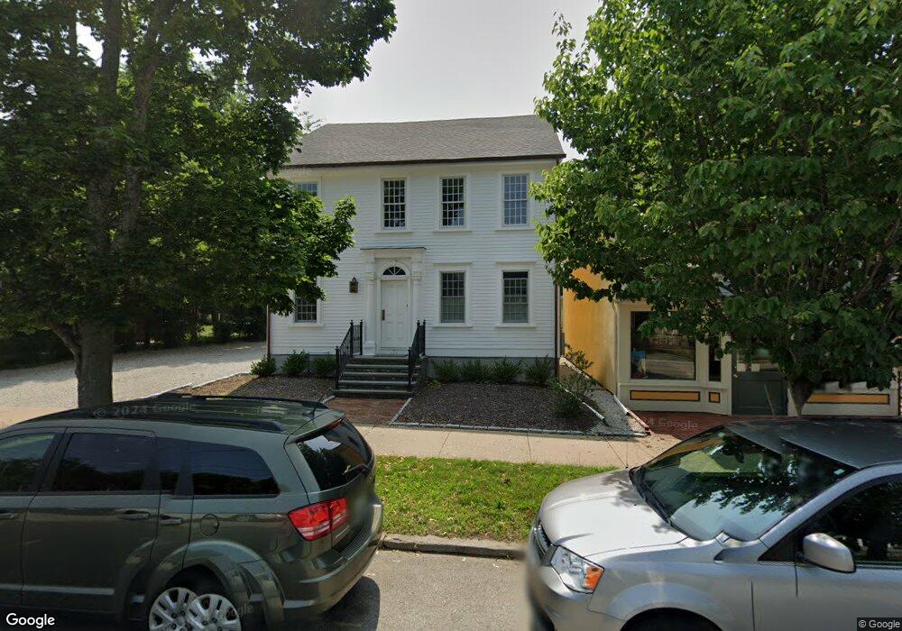
377 High St Bristol, RI 02809
Downtown Bristol NeighborhoodEstimated Value: $691,996 - $817,000
4
Beds
2
Baths
2,388
Sq Ft
$318/Sq Ft
Est. Value
About This Home
This home is located at 377 High St, Bristol, RI 02809 and is currently estimated at $758,749, approximately $317 per square foot. 377 High St is a home located in Bristol County with nearby schools including Mt. Hope High School and Our Lady of Mt. Carmel School.
Ownership History
Date
Name
Owned For
Owner Type
Purchase Details
Closed on
Jul 1, 2019
Sold by
Eeny Mary L
Bought by
Huggins Jake R and Ham Mariam L
Current Estimated Value
Home Financials for this Owner
Home Financials are based on the most recent Mortgage that was taken out on this home.
Original Mortgage
$380,000
Outstanding Balance
$334,136
Interest Rate
4%
Mortgage Type
Purchase Money Mortgage
Estimated Equity
$424,613
Purchase Details
Closed on
Jun 6, 2012
Sold by
Bailey Weeks M and Bailey Keefe W
Bought by
Feeny Mary L
Purchase Details
Closed on
May 26, 2005
Sold by
Borges Ronald M and Borges Kenneth
Bought by
Lotuff Mary M and Lotuff Frederick A
Home Financials for this Owner
Home Financials are based on the most recent Mortgage that was taken out on this home.
Original Mortgage
$240,000
Interest Rate
5.94%
Mortgage Type
Purchase Money Mortgage
Create a Home Valuation Report for This Property
The Home Valuation Report is an in-depth analysis detailing your home's value as well as a comparison with similar homes in the area
Home Values in the Area
Average Home Value in this Area
Purchase History
| Date | Buyer | Sale Price | Title Company |
|---|---|---|---|
| Huggins Jake R | $400,000 | -- | |
| Feeny Mary L | $125,000 | -- | |
| Lotuff Mary M | $300,000 | -- |
Source: Public Records
Mortgage History
| Date | Status | Borrower | Loan Amount |
|---|---|---|---|
| Open | Huggins Jake R | $380,000 | |
| Previous Owner | Lotuff Mary M | $240,000 |
Source: Public Records
Tax History
| Year | Tax Paid | Tax Assessment Tax Assessment Total Assessment is a certain percentage of the fair market value that is determined by local assessors to be the total taxable value of land and additions on the property. | Land | Improvement |
|---|---|---|---|---|
| 2025 | $7,846 | $567,700 | $256,200 | $311,500 |
| 2024 | $7,846 | $567,700 | $256,200 | $311,500 |
| 2023 | $7,584 | $567,700 | $256,200 | $311,500 |
| 2022 | $7,380 | $567,700 | $256,200 | $311,500 |
| 2021 | $6,337 | $440,700 | $246,300 | $194,400 |
| 2020 | $5,802 | $412,400 | $246,300 | $166,100 |
| 2019 | $6,223 | $453,600 | $246,300 | $207,300 |
| 2018 | $6,447 | $419,200 | $214,500 | $204,700 |
| 2017 | $5,673 | $380,200 | $197,400 | $182,800 |
| 2016 | $5,616 | $380,200 | $197,400 | $182,800 |
| 2015 | $5,334 | $380,200 | $197,400 | $182,800 |
| 2014 | $4,139 | $316,950 | $128,000 | $188,950 |
Source: Public Records
Map
Nearby Homes
- 413 High St
- 21 Monroe Ave
- 15 Bourne St
- 44 Bradford St Unit 49
- 2 Wilson St
- 85 Bay View Ave Unit 3
- 85 Bay View Ave Unit 2
- 2 Chilton St
- 78 State St
- 18 State St Unit 5 (3rd Floor East)
- 423 Hope St Unit 1A
- 236 State St
- 221 Hope St Unit 2
- 88 Burton St
- 32 Massasoit Ave
- 30 Massasoit Ave
- 25 Massasoit Ave
- 27 Massasoit Ave
- 9 Hope St
- 15 Rosedale Dr
Your Personal Tour Guide
Ask me questions while you tour the home.