379 S 10th St Unit 381 Newark, NJ 07103
West Side NeighborhoodEstimated Value: $396,000
--
Bed
--
Bath
1,956
Sq Ft
$202/Sq Ft
Est. Value
About This Home
This home is located at 379 S 10th St Unit 381, Newark, NJ 07103 and is currently estimated at $396,000, approximately $202 per square foot. 379 S 10th St Unit 381 is a home located in Essex County with nearby schools including Hawthorne Avenue Elementary School, Louise A. Spencer School, and Belmont Runyon School.
Ownership History
Date
Name
Owned For
Owner Type
Purchase Details
Closed on
May 23, 2025
Sold by
70 Tillinghast St Newark Ltd Liability C
Bought by
70 Tillinghast St Newark Ltd Liability Compan
Current Estimated Value
Purchase Details
Closed on
Mar 30, 2023
Sold by
Griffin Ada and Brown Sarah
Bought by
70 Tillinghast St Newark Ltd Liability Compan
Purchase Details
Closed on
Aug 15, 2022
Sold by
Invest Newark
Bought by
Griffin Ada
Purchase Details
Closed on
Jan 8, 2021
Sold by
City Of Newark
Bought by
Invest Newark
Create a Home Valuation Report for This Property
The Home Valuation Report is an in-depth analysis detailing your home's value as well as a comparison with similar homes in the area
Home Values in the Area
Average Home Value in this Area
Purchase History
| Date | Buyer | Sale Price | Title Company |
|---|---|---|---|
| 70 Tillinghast St Newark Ltd Liability Compan | -- | None Listed On Document | |
| 70 Tillinghast St Newark Ltd Liability Compan | $132,500 | Abc Title Agency | |
| Griffin Ada | -- | -- | |
| Invest Newark | -- | None Available | |
| Invest Newark | -- | None Available |
Source: Public Records
Tax History Compared to Growth
Tax History
| Year | Tax Paid | Tax Assessment Tax Assessment Total Assessment is a certain percentage of the fair market value that is determined by local assessors to be the total taxable value of land and additions on the property. | Land | Improvement |
|---|---|---|---|---|
| 2025 | $3,255 | $34,100 | $34,100 | -- |
| 2024 | $3,255 | $34,100 | $34,100 | $0 |
| 2022 | $0 | $87,300 | $34,100 | $53,200 |
| 2021 | $1,659 | $87,300 | $34,100 | $53,200 |
| 2020 | $3,307 | $87,300 | $34,100 | $53,200 |
| 2019 | $3,283 | $87,300 | $34,100 | $53,200 |
| 2018 | $3,224 | $87,300 | $34,100 | $53,200 |
| 2017 | $3,108 | $87,300 | $34,100 | $53,200 |
| 2016 | $3,003 | $87,300 | $34,100 | $53,200 |
| 2015 | $2,889 | $87,300 | $34,100 | $53,200 |
| 2014 | $2,707 | $87,300 | $34,100 | $53,200 |
Source: Public Records
Map
Nearby Homes
- 414 S 10th St
- 436 S 11th St
- 438 S 11th St
- 327 S Orange Ave
- 388 S 9th St
- 265 S 8th St Unit 267
- 267 S 8th St
- 474 15th Ave
- 431 S 14th St
- 267 S 9th St
- 239 S 8th St
- 406 S 15th St
- 461 S 14th St
- 348 13th Ave
- 395 S 8th St
- 407-409 S 15th St
- 407 S 15th St Unit 409
- 399 S 8th St
- 474 S 15th St Unit 2
- 441 S 9th St
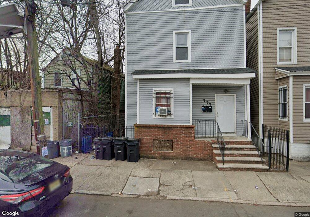
- 377 S 10th St Unit 3
- 377 S 10th St
- 383 S 10th St Unit 385
- 375 S 10th St Unit 2
- 375 S 10th St Unit 2nd Fl.
- 375 S 10th St
- 373 S 10th St
- 396-402 S 11th St
- 404 S 11th St
- 659 S 10th St
- 382 S 10th St Unit 1
- 382 S 10th St
- 382 S 10th St Unit 2
- 406 S 11th St
- 391 S 10th St
- 372 S Orange Ave
- 366 S Orange Ave Unit 1
- 360 S Orange Ave
- 360 S Orange Ave Unit 1
- 408 S 11th St