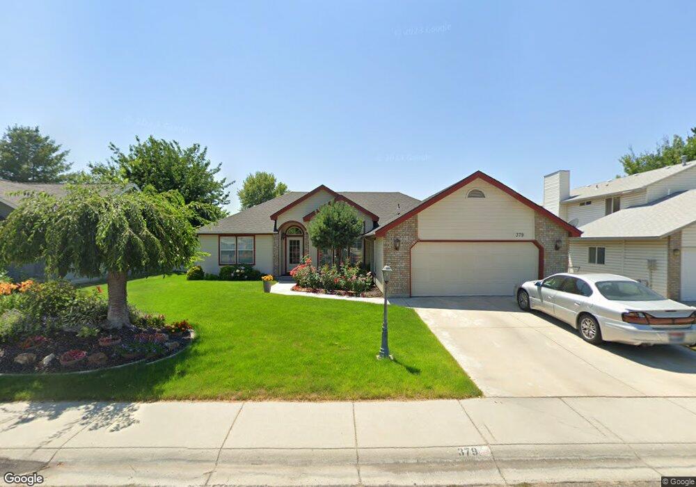
379 S Thoreau Way Boise, ID 83709
West Boise NeighborhoodEstimated Value: $444,000 - $481,000
3
Beds
2
Baths
1,639
Sq Ft
$281/Sq Ft
Est. Value
About This Home
This home is located at 379 S Thoreau Way, Boise, ID 83709 and is currently estimated at $460,652, approximately $281 per square foot. 379 S Thoreau Way is a home located in Ada County with nearby schools including Ustick Elementary School, Lewis & Clark Middle School, and Centennial High School.
Ownership History
Date
Name
Owned For
Owner Type
Purchase Details
Closed on
Apr 22, 2024
Sold by
Hallstrom Natalya
Bought by
Natalya Hallstrom Family Trust and Hallstrom
Current Estimated Value
Purchase Details
Closed on
Apr 25, 2001
Sold by
Marsden Carter and Carter Marsden J
Bought by
Rahman Rawnaque and Hassan Tina
Home Financials for this Owner
Home Financials are based on the most recent Mortgage that was taken out on this home.
Original Mortgage
$126,825
Interest Rate
6.98%
Mortgage Type
Purchase Money Mortgage
Create a Home Valuation Report for This Property
The Home Valuation Report is an in-depth analysis detailing your home's value as well as a comparison with similar homes in the area
Home Values in the Area
Average Home Value in this Area
Purchase History
| Date | Buyer | Sale Price | Title Company |
|---|---|---|---|
| Natalya Hallstrom Family Trust | -- | None Listed On Document | |
| Rahman Rawnaque | -- | Pioneer Title Company |
Source: Public Records
Mortgage History
| Date | Status | Borrower | Loan Amount |
|---|---|---|---|
| Previous Owner | Rahman Rawnaque | $126,825 |
Source: Public Records
Tax History Compared to Growth
Tax History
| Year | Tax Paid | Tax Assessment Tax Assessment Total Assessment is a certain percentage of the fair market value that is determined by local assessors to be the total taxable value of land and additions on the property. | Land | Improvement |
|---|---|---|---|---|
| 2025 | $1,946 | $435,900 | -- | -- |
| 2024 | $1,753 | $419,400 | -- | -- |
| 2023 | $1,753 | $376,800 | $0 | $0 |
| 2022 | $2,453 | $488,600 | $0 | $0 |
| 2021 | $1,981 | $351,100 | $0 | $0 |
| 2020 | $1,887 | $289,400 | $0 | $0 |
| 2019 | $2,327 | $281,800 | $0 | $0 |
| 2018 | $1,945 | $237,000 | $0 | $0 |
| 2017 | $1,665 | $209,700 | $0 | $0 |
| 2016 | $1,555 | $194,700 | $0 | $0 |
| 2015 | $1,552 | $186,700 | $0 | $0 |
| 2012 | -- | $117,600 | $0 | $0 |
Source: Public Records
Map
Nearby Homes
- 11683 W Aldershot St
- 704 S Kiser Ave
- 11829 W Camas St
- 713 S Winthrop Way
- 11147 W Highmont Dr
- 11085 W Bridgetower Dr
- 11225 W Camas St
- 11058 W Edgehill Dr
- 4195 E Woodmurra St
- 4181 Woodmurra St
- 10866 W Sandhurst Dr
- 10715 Cruser Dr
- 937 S Nautilus Ave
- 973 S Nautilus Ave
- 960 S Nautilus Ave
- 10606 Cruser Dr
- 941 S Wavetrain Ave
- 11899 W Blueberry Ct
- 12065 W Mesquite Dr
- 4216 Woodmurra St
- 395 S Thoreau Way
- 373 S Thoreau Way
- 11972 W Keates Dr
- 11956 W Keates Dr
- 11988 W Keates Dr
- 367 S Thoreau Way
- 380 S Thoreau Way
- 396 S Thoreau Way
- 12020 W Keates Dr
- 11940 W Keates Dr
- 364 S Thoreau Way
- 363 S Thoreau Way
- 412 S Thoreau Way
- 12038 W Keates Dr
- 427 S Thoreau Way
- 11924 W Keates Dr
- 11973 W Keates Dr
- 11981 W Longfellow Dr
- 428 S Thoreau Way
- 348 S Thoreau Way