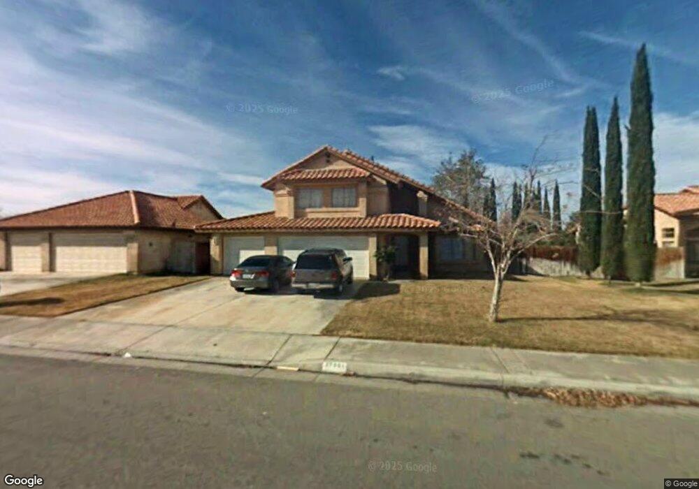
37901 Smoke Tree St Palmdale, CA 93552
East Palmdale NeighborhoodEstimated Value: $474,443 - $546,000
4
Beds
3
Baths
1,874
Sq Ft
$270/Sq Ft
Est. Value
About This Home
This home is located at 37901 Smoke Tree St, Palmdale, CA 93552 and is currently estimated at $505,361, approximately $269 per square foot. 37901 Smoke Tree St is a home located in Los Angeles County with nearby schools including Chaparral Elementary School, Shadow Hills Middle School, and Knight High School.
Ownership History
Date
Name
Owned For
Owner Type
Purchase Details
Closed on
Sep 9, 1993
Sold by
Federal Home Loan Mortgage Corporation
Bought by
Rangel Audel and Rangel Maria
Current Estimated Value
Home Financials for this Owner
Home Financials are based on the most recent Mortgage that was taken out on this home.
Original Mortgage
$91,600
Interest Rate
6.98%
Create a Home Valuation Report for This Property
The Home Valuation Report is an in-depth analysis detailing your home's value as well as a comparison with similar homes in the area
Home Values in the Area
Average Home Value in this Area
Purchase History
| Date | Buyer | Sale Price | Title Company |
|---|---|---|---|
| Rangel Audel | $114,500 | World Title Company |
Source: Public Records
Mortgage History
| Date | Status | Borrower | Loan Amount |
|---|---|---|---|
| Closed | Rangel Audel | $91,600 |
Source: Public Records
Tax History
| Year | Tax Paid | Tax Assessment Tax Assessment Total Assessment is a certain percentage of the fair market value that is determined by local assessors to be the total taxable value of land and additions on the property. | Land | Improvement |
|---|---|---|---|---|
| 2025 | $3,660 | $210,731 | $30,579 | $180,152 |
| 2024 | $3,660 | $206,600 | $29,980 | $176,620 |
| 2023 | $3,624 | $202,550 | $29,393 | $173,157 |
| 2022 | $3,492 | $198,579 | $28,817 | $169,762 |
| 2021 | $3,409 | $194,686 | $28,252 | $166,434 |
| 2019 | $3,315 | $188,914 | $27,415 | $161,499 |
| 2018 | $3,267 | $185,211 | $26,878 | $158,333 |
| 2016 | $3,043 | $178,021 | $25,835 | $152,186 |
| 2015 | $3,018 | $175,348 | $25,447 | $149,901 |
| 2014 | $2,983 | $171,914 | $24,949 | $146,965 |
Source: Public Records
Map
Nearby Homes
- 5147 Moonraker Rd
- 37901 53rd St E
- 37913 53rd St E
- 37748 Sweetbrush St
- 5139 Saint Laurent Place
- 38030 Lido Dr
- 37720 Smoke Tree St
- 5060 Adobe Dr
- 5038 Adobe Dr
- 37718 Clark Ct
- 37727 Boxthorn St
- 4743 E Avenue r2
- 5102 Cantlewood Dr
- 37717 49th St E
- 5039 Carlo Ct
- 38145 Lido Dr
- 37712 Duffel St
- 37814 Echo Mountain St
- 4853 Katrina Place
- 37634 Duffel St
- 37909 Smoke Tree St
- 37857 Smoke Tree St
- 5063 E Avenue r2
- 37902 Lupine St
- 37910 Lupine St
- 37915 Smoke Tree St
- 37900 Smoke Tree St
- 5051 E Avenue r2
- 37856 Smoke Tree St
- 37908 Smoke Tree St
- 37916 Lupine St
- 37850 Smoke Tree St
- 37841 Smoke Tree St
- 37914 Smoke Tree St
- 37921 Smoke Tree St
- 5049 E Avenue r2
- 5064 E Avenue r2
- 37844 Smoke Tree St
- 37922 Lupine St
- 37903 Lupine St
Your Personal Tour Guide
Ask me questions while you tour the home.