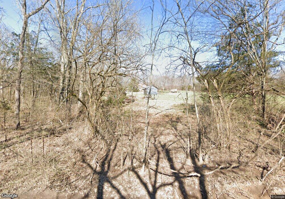
3795 N Chapel Rd Franklin, TN 37067
Triune Area NeighborhoodEstimated Value: $816,339 - $1,236,000
--
Bed
4
Baths
1,912
Sq Ft
$514/Sq Ft
Est. Value
About This Home
This home is located at 3795 N Chapel Rd, Franklin, TN 37067 and is currently estimated at $983,113, approximately $514 per square foot. 3795 N Chapel Rd is a home located in Williamson County with nearby schools including Trinity Elementary School, Fred J. Page Middle School, and Fred J. Page High School.
Ownership History
Date
Name
Owned For
Owner Type
Purchase Details
Closed on
Sep 6, 2019
Sold by
James And Mary Anderson Family Liv Tr
Bought by
Brian Heidi Nichole O
Current Estimated Value
Purchase Details
Closed on
May 21, 2018
Sold by
Anderson Edward Wallace
Bought by
Anderson Mark Clatyon and Anderson Sarah Noel
Purchase Details
Closed on
Apr 25, 2018
Sold by
Schroeder Anderson James Clayton and Schroeder Anderson Mary
Bought by
Obrian Heidi Nichole
Purchase Details
Closed on
Mar 17, 2011
Sold by
Anderson James C and Anderson Mary F
Bought by
Anderson James C and Anderson Mary F
Create a Home Valuation Report for This Property
The Home Valuation Report is an in-depth analysis detailing your home's value as well as a comparison with similar homes in the area
Home Values in the Area
Average Home Value in this Area
Purchase History
| Date | Buyer | Sale Price | Title Company |
|---|---|---|---|
| Brian Heidi Nichole O | -- | None Available | |
| Anderson Mark Clatyon | $400,000 | None Available | |
| Obrian Heidi Nichole | $50,000 | None Available | |
| Anderson James C | -- | None Available |
Source: Public Records
Tax History Compared to Growth
Tax History
| Year | Tax Paid | Tax Assessment Tax Assessment Total Assessment is a certain percentage of the fair market value that is determined by local assessors to be the total taxable value of land and additions on the property. | Land | Improvement |
|---|---|---|---|---|
| 2024 | -- | $111,400 | $72,175 | $39,225 |
| 2023 | $0 | $111,400 | $72,175 | $39,225 |
| 2022 | $2,094 | $111,400 | $72,175 | $39,225 |
| 2021 | $2,094 | $111,400 | $72,175 | $39,225 |
| 2020 | $1,955 | $88,075 | $48,100 | $39,975 |
| 2019 | $1,955 | $88,075 | $48,100 | $39,975 |
| 2018 | $2,118 | $88,075 | $48,100 | $39,975 |
| 2017 | $2,118 | $98,500 | $58,525 | $39,975 |
| 2016 | $0 | $98,500 | $58,525 | $39,975 |
| 2015 | -- | $78,850 | $45,025 | $33,825 |
| 2014 | -- | $78,850 | $45,025 | $33,825 |
Source: Public Records
Map
Nearby Homes
- 1006 Dovecrest Way
- 1029 Watkins Creek Dr
- 2085 Wilson Pike
- 0 Lasata Unit RTC2787689
- 1820 Lanceford Ct
- 4165 Clovercroft Rd
- 1607 Sand Dollar Ct
- 1055 Amelia Park Dr
- 1068 Amelia Park Dr
- 1132 Amelia Park Dr
- 4160 Clovercroft Rd
- 6001 Poplar Farms Dr
- 9065 Chardonnay Trace
- 5049 Poplar Farms Dr
- 5043 Poplar Farms Dr
- 5037 Poplar Farms Dr
- 5031 Poplar Farms Dr
- 7037 Chardon St
- 7043 Chardon St
- 7001 Chardon St
- 3801 N Chapel Rd
- 2039 Wilson Pike
- 3815 N Chapel Rd
- 2031 Wilson Pike
- 2035 Wilson Pike
- 2041 Wilson Pike
- 3765 N Chapel Rd
- 2027 Wilson Pike
- 2055 Wilson Pike
- 2016 Wilson Pike
- 2036 Wilson Pike
- 2044 Wilson Pike
- 2051 Wilson Pike
- 2052 Wilson Pike
- 3048 Cecil Lewis Dr
- 3044 Cecil Lewis Dr
- 3060 Cecil Lewis Dr
- 3064 Cecil Lewis Dr
- 3052 Cecil Lewis Dr
- 3040 Cecil Lewis Dr