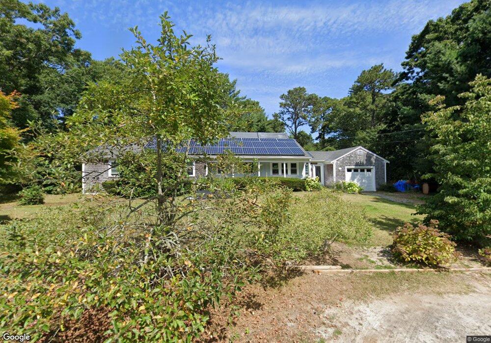
38 Driftwood Ln Brewster, MA 02631
Estimated Value: $747,000 - $770,000
4
Beds
2
Baths
1,501
Sq Ft
$505/Sq Ft
Est. Value
About This Home
This home is located at 38 Driftwood Ln, Brewster, MA 02631 and is currently estimated at $758,556, approximately $505 per square foot. 38 Driftwood Ln is a home located in Barnstable County with nearby schools including Nauset Regional Middle School, Nauset Regional High School, and Latham School.
Ownership History
Date
Name
Owned For
Owner Type
Purchase Details
Closed on
Jul 6, 2009
Sold by
Riley Kei and Riley Paul B
Bought by
Riley Kei Kimura and Riley Paul Bruce
Current Estimated Value
Purchase Details
Closed on
May 17, 2002
Sold by
Parks Raymond M and Parks Kathryn P
Bought by
Riley Aul B and Riley Kei
Home Financials for this Owner
Home Financials are based on the most recent Mortgage that was taken out on this home.
Original Mortgage
$150,000
Interest Rate
7.15%
Mortgage Type
Purchase Money Mortgage
Create a Home Valuation Report for This Property
The Home Valuation Report is an in-depth analysis detailing your home's value as well as a comparison with similar homes in the area
Home Values in the Area
Average Home Value in this Area
Purchase History
| Date | Buyer | Sale Price | Title Company |
|---|---|---|---|
| Riley Kei Kimura | -- | -- | |
| Riley Aul B | $258,000 | -- |
Source: Public Records
Mortgage History
| Date | Status | Borrower | Loan Amount |
|---|---|---|---|
| Previous Owner | Riley Aul B | $200,000 | |
| Previous Owner | Riley Aul B | $50,000 | |
| Previous Owner | Riley Aul B | $150,000 | |
| Previous Owner | Riley Aul B | $125,000 |
Source: Public Records
Tax History Compared to Growth
Tax History
| Year | Tax Paid | Tax Assessment Tax Assessment Total Assessment is a certain percentage of the fair market value that is determined by local assessors to be the total taxable value of land and additions on the property. | Land | Improvement |
|---|---|---|---|---|
| 2025 | $4,306 | $625,900 | $255,700 | $370,200 |
| 2024 | $4,166 | $611,800 | $262,200 | $349,600 |
| 2023 | $3,852 | $551,100 | $234,000 | $317,100 |
| 2022 | $3,613 | $460,200 | $195,000 | $265,200 |
| 2021 | $3,467 | $404,100 | $169,500 | $234,600 |
| 2020 | $3,271 | $379,500 | $155,900 | $223,600 |
| 2019 | $3,107 | $362,100 | $143,500 | $218,600 |
| 2018 | $2,912 | $352,600 | $143,500 | $209,100 |
| 2017 | $2,750 | $327,800 | $143,500 | $184,300 |
| 2016 | $2,603 | $308,800 | $127,900 | $180,900 |
| 2015 | $2,514 | $304,400 | $125,400 | $179,000 |
Source: Public Records
Map
Nearby Homes
- 20 Driftwood Ln
- 41 Trout Pond Ln
- 33 Trout Pond Ln
- 157 Pine Bluff Rd
- 31 Driftwood Ln
- 189 Pine Bluff Rd
- 17 Trout Pond Ln
- 19 Driftwood Ln
- 10 Driftwood Ln
- 9 Driftwood Ln
- 172 Pine Bluff Rd
- 162 Pine Bluff Rd
- 80 Brook Trail Rd
- 62 Pine Bluff Rd
- 0 Pine Bluff Rd
- 182 Pine Bluff Rd
- 74 Trout Pond Ln
- 46 Trout Pond Ln
- 152 Pine Bluff Rd
- 203 Pine Bluff Rd