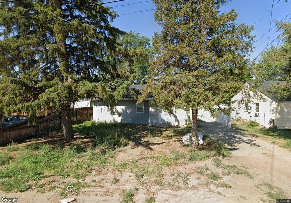
38 Foster Ln Billings, MT 59101
East Central Billings NeighborhoodEstimated Value: $227,000 - $375,583
6
Beds
3
Baths
2,080
Sq Ft
$155/Sq Ft
Est. Value
About This Home
This home is located at 38 Foster Ln, Billings, MT 59101 and is currently estimated at $321,646, approximately $154 per square foot. 38 Foster Ln is a home located in Yellowstone County with nearby schools including Washington School, Lewis & Clark Junior High School, and Billings West High School.
Ownership History
Date
Name
Owned For
Owner Type
Purchase Details
Closed on
Dec 11, 2020
Sold by
Swainson John A
Bought by
Propriedad Llc
Current Estimated Value
Home Financials for this Owner
Home Financials are based on the most recent Mortgage that was taken out on this home.
Original Mortgage
$204,822
Outstanding Balance
$182,678
Interest Rate
2.8%
Mortgage Type
Future Advance Clause Open End Mortgage
Estimated Equity
$138,968
Create a Home Valuation Report for This Property
The Home Valuation Report is an in-depth analysis detailing your home's value as well as a comparison with similar homes in the area
Home Values in the Area
Average Home Value in this Area
Purchase History
| Date | Buyer | Sale Price | Title Company |
|---|---|---|---|
| Propriedad Llc | -- | First American Title Company |
Source: Public Records
Mortgage History
| Date | Status | Borrower | Loan Amount |
|---|---|---|---|
| Open | Propriedad Llc | $204,822 |
Source: Public Records
Tax History Compared to Growth
Tax History
| Year | Tax Paid | Tax Assessment Tax Assessment Total Assessment is a certain percentage of the fair market value that is determined by local assessors to be the total taxable value of land and additions on the property. | Land | Improvement |
|---|---|---|---|---|
| 2025 | $3,765 | $487,960 | $46,940 | $441,020 |
| 2024 | $3,765 | $381,571 | $48,161 | $333,410 |
| 2023 | $3,854 | $381,571 | $48,161 | $333,410 |
| 2022 | $2,759 | $292,251 | $0 | $0 |
| 2021 | $1,727 | $129,081 | $0 | $0 |
| 2020 | $1,922 | $151,400 | $0 | $0 |
| 2019 | $1,841 | $151,400 | $0 | $0 |
| 2018 | $1,758 | $141,200 | $0 | $0 |
| 2017 | $1,708 | $141,200 | $0 | $0 |
| 2016 | $1,566 | $130,100 | $0 | $0 |
| 2015 | $1,531 | $130,100 | $0 | $0 |
| 2014 | $1,279 | $55,385 | $0 | $0 |
Source: Public Records
Map
Nearby Homes
- 141 S 12th St W
- 1212 Concord Dr
- 1304 Eldorado Dr
- 1113 Lynn Ave
- 231 S 12th St W
- 226 Moore Ln
- 112 11th St W
- 1231 Saint Johns Ave
- 1122 Howard Ave
- 1019 Miles Ave
- 927 Miles Ave
- 925 Miles Ave
- 812 Miles Ave
- 12 Macarthur Ave
- 1346 Broadwater Ave
- 626 Cook Ave
- 1310 Yellowstone Ave Unit 6
- 1310 Yellowstone Ave Unit 11
- 1310 Yellowstone Ave Unit 16
- 1256 & 1260 Yellowstone Ave