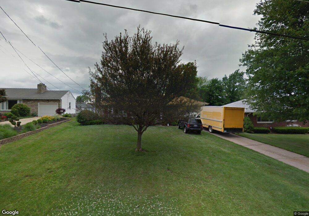
38 S Yorkshire Blvd Youngstown, OH 44515
Austintown NeighborhoodEstimated Value: $144,000 - $153,000
3
Beds
1
Bath
1,140
Sq Ft
$131/Sq Ft
Est. Value
About This Home
This home is located at 38 S Yorkshire Blvd, Youngstown, OH 44515 and is currently estimated at $149,379, approximately $131 per square foot. 38 S Yorkshire Blvd is a home located in Mahoning County with nearby schools including Austintown Elementary School, Austintown Intermediate School, and Austintown Middle School.
Ownership History
Date
Name
Owned For
Owner Type
Purchase Details
Closed on
Jul 6, 2004
Sold by
Watson David and Watson Jane
Bought by
Crawford Rex E
Current Estimated Value
Home Financials for this Owner
Home Financials are based on the most recent Mortgage that was taken out on this home.
Original Mortgage
$84,671
Outstanding Balance
$42,770
Interest Rate
6.39%
Mortgage Type
FHA
Estimated Equity
$106,609
Purchase Details
Closed on
May 30, 1991
Bought by
Watson David and Watson Jane
Create a Home Valuation Report for This Property
The Home Valuation Report is an in-depth analysis detailing your home's value as well as a comparison with similar homes in the area
Home Values in the Area
Average Home Value in this Area
Purchase History
| Date | Buyer | Sale Price | Title Company |
|---|---|---|---|
| Crawford Rex E | $86,000 | -- | |
| Watson David | $56,000 | -- |
Source: Public Records
Mortgage History
| Date | Status | Borrower | Loan Amount |
|---|---|---|---|
| Open | Crawford Rex E | $84,671 |
Source: Public Records
Tax History Compared to Growth
Tax History
| Year | Tax Paid | Tax Assessment Tax Assessment Total Assessment is a certain percentage of the fair market value that is determined by local assessors to be the total taxable value of land and additions on the property. | Land | Improvement |
|---|---|---|---|---|
| 2024 | $1,612 | $35,190 | $5,020 | $30,170 |
| 2023 | $1,587 | $35,190 | $5,020 | $30,170 |
| 2022 | $1,518 | $27,000 | $4,830 | $22,170 |
| 2021 | $1,519 | $27,000 | $4,830 | $22,170 |
| 2020 | $1,526 | $27,000 | $4,830 | $22,170 |
| 2019 | $1,445 | $23,270 | $4,160 | $19,110 |
| 2018 | $1,390 | $23,270 | $4,160 | $19,110 |
| 2017 | $1,470 | $23,270 | $4,160 | $19,110 |
| 2016 | $1,553 | $25,800 | $4,290 | $21,510 |
| 2015 | $1,505 | $25,800 | $4,290 | $21,510 |
| 2014 | $1,512 | $25,800 | $4,290 | $21,510 |
| 2013 | $1,496 | $25,800 | $4,290 | $21,510 |
Source: Public Records
Map
Nearby Homes
- 4258 Mahoning Ave
- 97 Idlewood Rd
- 81 S Edgehill Ave
- 122 S Edgehill Ave
- 126 S Edgehill Ave
- 107 N Roanoke Ave
- 102 Parkgate Ave
- 209 S Beverly Ave
- 208 S Roanoke Ave
- 225 S Raccoon Rd
- 161 N Roanoke Ave
- 169 Westminster Ave
- 136 Rosemont Ave
- 42 N Navarre Ave
- 0 S Raccoon Rd Unit 5142489
- 98 N Navarre Ave
- 0 Elmwood Ave
- 192 N Main St
- 230 Westminster Ave
- 263 S Main St
- 42 S Yorkshire Blvd
- 34 S Yorkshire Blvd
- 46 S Yorkshire Blvd
- 4343 Mahoning Ave
- 4329 Mahoning Ave
- 39 S Yorkshire Blvd
- 45 S Yorkshire Blvd
- 35 S Yorkshire Blvd
- 50 S Yorkshire Blvd
- 34 S Beverly Ave
- 59 S Yorkshire Blvd
- 56 S Yorkshire Blvd
- 52 S Beverly Ave
- 65 S Yorkshire Blvd
- 62 S Yorkshire Blvd
- 60 S Beverly Ave
- 4372 Mahoning Ave
- 4374 Mahoning Ave
- 4316 Mahoning Ave
- 27 S Beverly Ave