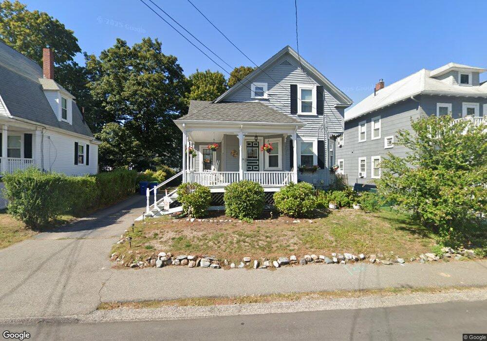
38 Sampson Ave Braintree, MA 02184
North Braintree NeighborhoodEstimated Value: $607,499 - $723,000
3
Beds
1
Bath
1,059
Sq Ft
$638/Sq Ft
Est. Value
About This Home
This home is located at 38 Sampson Ave, Braintree, MA 02184 and is currently estimated at $675,125, approximately $637 per square foot. 38 Sampson Ave is a home located in Norfolk County with nearby schools including Braintree High School, Meeting House Montessori School, and Thayer Academy.
Ownership History
Date
Name
Owned For
Owner Type
Purchase Details
Closed on
Jul 13, 2015
Sold by
Parker Giles B and Parker Vera C
Bought by
Parker Ft and Parker Amy C
Current Estimated Value
Purchase Details
Closed on
Dec 5, 1968
Bought by
Parker Ft
Create a Home Valuation Report for This Property
The Home Valuation Report is an in-depth analysis detailing your home's value as well as a comparison with similar homes in the area
Home Values in the Area
Average Home Value in this Area
Purchase History
| Date | Buyer | Sale Price | Title Company |
|---|---|---|---|
| Parker Ft | -- | -- | |
| Parker Ft | -- | -- |
Source: Public Records
Mortgage History
| Date | Status | Borrower | Loan Amount |
|---|---|---|---|
| Previous Owner | Parker Ft | $50,000 |
Source: Public Records
Tax History Compared to Growth
Tax History
| Year | Tax Paid | Tax Assessment Tax Assessment Total Assessment is a certain percentage of the fair market value that is determined by local assessors to be the total taxable value of land and additions on the property. | Land | Improvement |
|---|---|---|---|---|
| 2025 | $5,063 | $507,300 | $315,000 | $192,300 |
| 2024 | $4,590 | $484,200 | $293,800 | $190,400 |
| 2023 | $4,331 | $443,700 | $264,000 | $179,700 |
| 2022 | $4,160 | $418,100 | $238,400 | $179,700 |
| 2021 | $3,824 | $384,300 | $215,400 | $168,900 |
| 2020 | $3,522 | $357,200 | $195,800 | $161,400 |
| 2019 | $3,412 | $338,200 | $187,300 | $150,900 |
| 2018 | $3,318 | $314,800 | $170,300 | $144,500 |
| 2017 | $3,197 | $297,700 | $161,800 | $135,900 |
| 2016 | $2,923 | $266,200 | $136,200 | $130,000 |
| 2015 | $2,874 | $259,600 | $134,500 | $125,100 |
| 2014 | $2,719 | $238,100 | $122,600 | $115,500 |
Source: Public Records
Map
Nearby Homes
- 491 Washington St Unit 1
- 37 Monatiquot Ave
- 10 Cochato Rd
- 29 Norton St
- 17 Judson St
- 175 West St
- 78 Windemere Cir
- 65 Tremont St
- 8 Vinton Ave Unit 10
- 305 Franklin St
- 14-20 Randall Ave
- 53 Parkside Ave
- 6 Franklin St
- 63 Dickerman Ln
- 605 Middle St Unit 38
- 414 John Mahar Hwy Unit 312
- 418 John Mahar Hwy Unit 408
- 145 Hancock St Unit 214
- 39 Morrison Rd
- 42 Spring St
- 34 Sampson Ave
- 40 Sampson Ave Unit 42
- 40 Sampson Ave Unit 2
- 33 Sherbrooke Ave
- 30 Sampson Ave
- 29 Sherbrooke Ave
- 37 Sherbrooke Ave
- 35 Sampson Ave
- 33 Sampson Ave
- 37 Sampson Ave
- 26 Sampson Ave Unit 2
- 21 Sherbrooke Ave
- 24 Sampson Ave Unit 26
- 24-26 Sampson Ave
- 43 Sherbrooke Ave
- 27 Sampson Ave
- 17 Sherbrooke Ave
- 22 Sampson Ave
- 44 Sampson St
- 36 Sherbrooke Ave