38 Tower Rd Kittery Point, ME 03905
Kittery Point NeighborhoodEstimated Value: $2,454,000 - $2,541,527
4
Beds
4
Baths
3,217
Sq Ft
$776/Sq Ft
Est. Value
About This Home
This home is located at 38 Tower Rd, Kittery Point, ME 03905 and is currently estimated at $2,497,764, approximately $776 per square foot. 38 Tower Rd is a home located in York County with nearby schools including Horace Mitchell Primary School, Shapleigh School, and Robert W Traip Academy.
Ownership History
Date
Name
Owned For
Owner Type
Purchase Details
Closed on
Sep 14, 2006
Sold by
Jennifer M H Parker Ret
Bought by
Gregory Susan B and Gregory S H
Current Estimated Value
Home Financials for this Owner
Home Financials are based on the most recent Mortgage that was taken out on this home.
Original Mortgage
$975,000
Outstanding Balance
$586,800
Interest Rate
6.71%
Mortgage Type
Purchase Money Mortgage
Estimated Equity
$1,910,964
Create a Home Valuation Report for This Property
The Home Valuation Report is an in-depth analysis detailing your home's value as well as a comparison with similar homes in the area
Home Values in the Area
Average Home Value in this Area
Purchase History
| Date | Buyer | Sale Price | Title Company |
|---|---|---|---|
| Gregory Susan B | -- | -- |
Source: Public Records
Mortgage History
| Date | Status | Borrower | Loan Amount |
|---|---|---|---|
| Open | Gregory Susan B | $975,000 |
Source: Public Records
Tax History Compared to Growth
Tax History
| Year | Tax Paid | Tax Assessment Tax Assessment Total Assessment is a certain percentage of the fair market value that is determined by local assessors to be the total taxable value of land and additions on the property. | Land | Improvement |
|---|---|---|---|---|
| 2024 | $22,467 | $1,582,200 | $542,200 | $1,040,000 |
| 2023 | $20,913 | $1,536,600 | $542,200 | $994,400 |
| 2022 | $19,781 | $1,467,400 | $542,200 | $925,200 |
| 2021 | $16,208 | $1,246,800 | $542,200 | $704,600 |
| 2020 | $16,028 | $1,242,500 | $542,200 | $700,300 |
| 2019 | $16,366 | $940,600 | $382,000 | $558,600 |
| 2018 | $15,001 | $940,600 | $382,000 | $558,600 |
| 2017 | $15,331 | $940,600 | $382,000 | $558,600 |
| 2016 | $14,954 | $931,700 | $382,000 | $549,700 |
| 2015 | $14,600 | $931,700 | $382,000 | $549,700 |
| 2014 | $14,460 | $931,700 | $382,000 | $549,700 |
| 2013 | $14,180 | $931,700 | $382,000 | $549,700 |
Source: Public Records
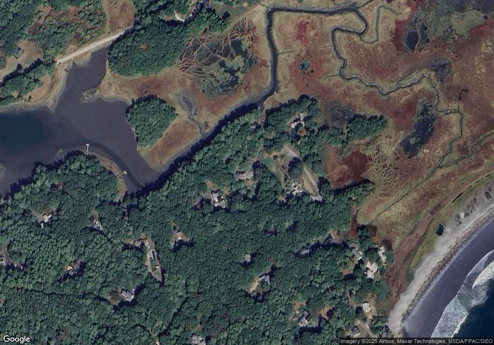
Map
Nearby Homes
- 39 Tenney Hill Rd
- 15 Foyes Ln
- 58 Foyes Ln
- 132 Pepperrell Rd
- 72 Pepperrell Rd
- 25 Bartlett Rd
- 2 Washburn Farm Ln Unit 1
- 7 Washburn Farm Ln Unit 9
- 12 Washburn Farm Ln Unit 3
- 18 Washburn Farm Ln Unit 4
- 20 Washburn Farm Ln Unit 5
- 301 Route 103
- 109 Bartlett Rd
- 78 Norton Rd Unit 6
- 13 Washburn Farm Ln Unit 7
- 24 Seabreeze Ln
- 25 Brave Boat Harbor Rd
- 299 Haley Rd
- 15 Atkinson St
- 3 Izzy Ln