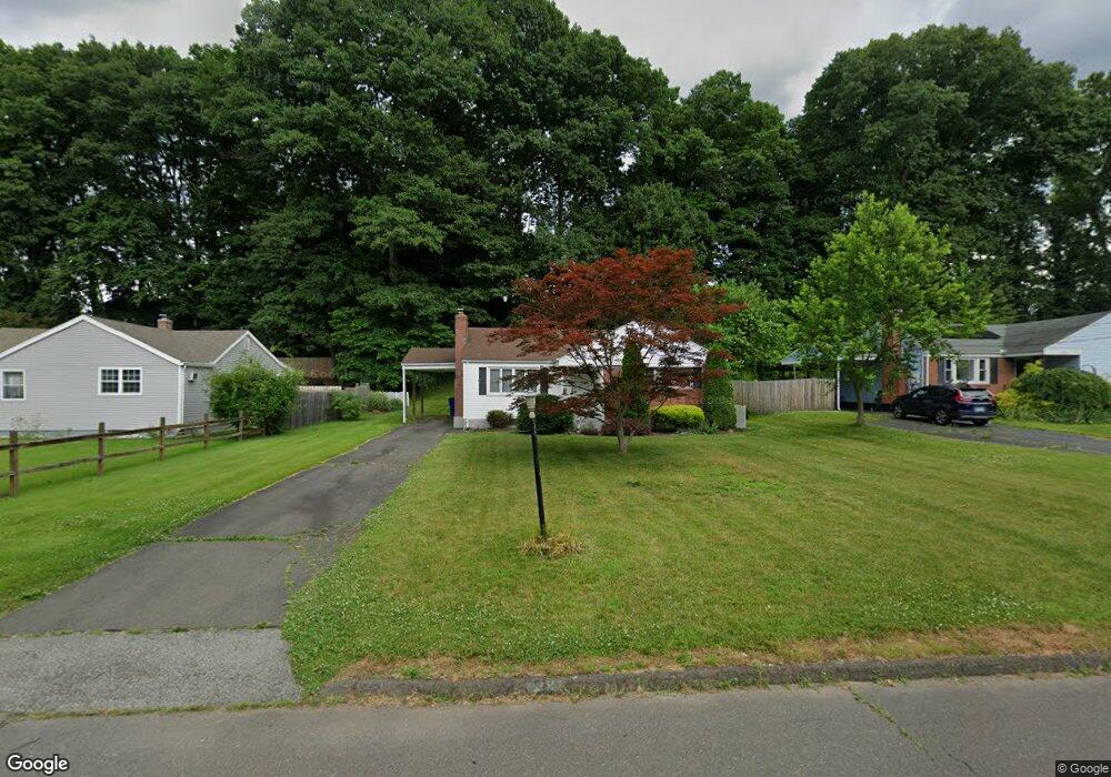
38 Westlook Rd Wethersfield, CT 06109
Estimated Value: $317,000 - $347,000
2
Beds
1
Bath
1,038
Sq Ft
$321/Sq Ft
Est. Value
About This Home
This home is located at 38 Westlook Rd, Wethersfield, CT 06109 and is currently estimated at $333,274, approximately $321 per square foot. 38 Westlook Rd is a home located in Hartford County with nearby schools including Emerson-Williams School, Silas Deane Middle School, and Wethersfield High School.
Ownership History
Date
Name
Owned For
Owner Type
Purchase Details
Closed on
May 26, 2011
Sold by
Mancini Paul J and Mancini Anastasia P
Bought by
Grigas Judy
Current Estimated Value
Home Financials for this Owner
Home Financials are based on the most recent Mortgage that was taken out on this home.
Original Mortgage
$160,817
Outstanding Balance
$112,104
Interest Rate
4.87%
Mortgage Type
FHA
Estimated Equity
$221,170
Purchase Details
Closed on
Apr 13, 1999
Sold by
Est Burke Sophe S and Sweeney James M
Bought by
Mancini Paul J and Mancini Anastasia P
Create a Home Valuation Report for This Property
The Home Valuation Report is an in-depth analysis detailing your home's value as well as a comparison with similar homes in the area
Home Values in the Area
Average Home Value in this Area
Purchase History
| Date | Buyer | Sale Price | Title Company |
|---|---|---|---|
| Grigas Judy | $165,000 | -- | |
| Mancini Paul J | $111,500 | -- |
Source: Public Records
Mortgage History
| Date | Status | Borrower | Loan Amount |
|---|---|---|---|
| Open | Mancini Paul J | $160,817 |
Source: Public Records
Tax History Compared to Growth
Tax History
| Year | Tax Paid | Tax Assessment Tax Assessment Total Assessment is a certain percentage of the fair market value that is determined by local assessors to be the total taxable value of land and additions on the property. | Land | Improvement |
|---|---|---|---|---|
| 2025 | $8,822 | $214,020 | $98,000 | $116,020 |
| 2024 | $5,896 | $136,420 | $74,200 | $62,220 |
| 2023 | $5,700 | $136,420 | $74,200 | $62,220 |
| 2022 | $5,604 | $136,420 | $74,200 | $62,220 |
| 2021 | $5,548 | $136,420 | $74,200 | $62,220 |
| 2020 | $5,551 | $136,420 | $74,200 | $62,220 |
| 2019 | $5,552 | $136,270 | $74,200 | $62,070 |
| 2018 | $5,330 | $130,700 | $64,000 | $66,700 |
| 2017 | $5,198 | $130,700 | $64,000 | $66,700 |
| 2016 | $5,037 | $130,700 | $64,000 | $66,700 |
| 2015 | $4,991 | $130,700 | $64,000 | $66,700 |
| 2014 | $4,802 | $130,700 | $64,000 | $66,700 |
Source: Public Records
Map
Nearby Homes
- 481 Ridge Rd
- 80 Cedar St
- 358 Ridge Rd
- 69 Concord Cir
- 219 Crest St
- 173 Timber Trail
- 67 Oakdale St
- 47 Forest Dr
- 615 Ridge Rd
- 86 Amherst St
- 11 Yale St
- 55 Rutledge Rd
- 9 Tanner Crossing Unit 9
- 80 Spruce St
- 268 Goff Rd
- 133 Wells Farm Dr
- 38 Potter Crossing
- 35 Tinsmith Crossing Unit 35
- 42 Schoolhouse Crossing
- 828 Wells Rd