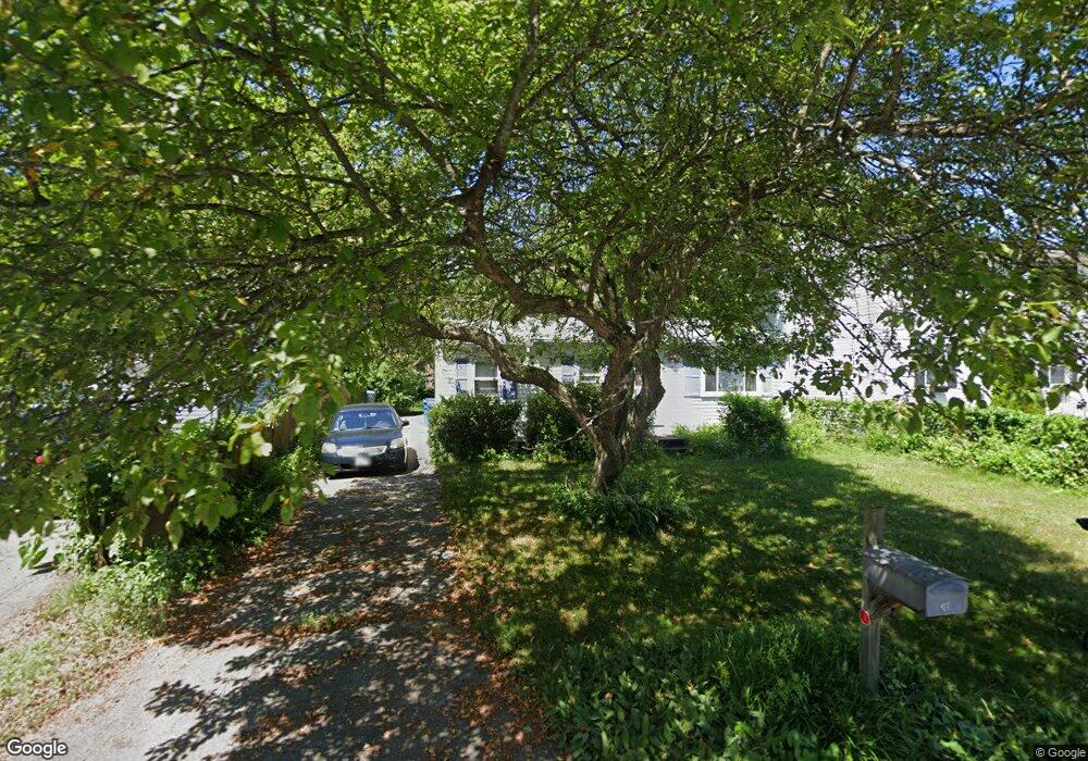
38 Wrentham Rd Springfield, MA 01119
Boston Road NeighborhoodEstimated Value: $222,000 - $259,000
2
Beds
1
Bath
768
Sq Ft
$306/Sq Ft
Est. Value
About This Home
This home is located at 38 Wrentham Rd, Springfield, MA 01119 and is currently estimated at $235,049, approximately $306 per square foot. 38 Wrentham Rd is a home located in Hampden County with nearby schools including Warner, M Marcus Kiley Middle, and Springfield Central High School.
Ownership History
Date
Name
Owned For
Owner Type
Purchase Details
Closed on
Dec 28, 2001
Sold by
Brennan John P
Bought by
Rickson Maryann
Current Estimated Value
Home Financials for this Owner
Home Financials are based on the most recent Mortgage that was taken out on this home.
Original Mortgage
$57,100
Interest Rate
6.61%
Mortgage Type
Purchase Money Mortgage
Purchase Details
Closed on
Nov 16, 1989
Sold by
Valinski Robert E
Bought by
Brennan John P
Home Financials for this Owner
Home Financials are based on the most recent Mortgage that was taken out on this home.
Original Mortgage
$70,000
Interest Rate
9.97%
Mortgage Type
Purchase Money Mortgage
Create a Home Valuation Report for This Property
The Home Valuation Report is an in-depth analysis detailing your home's value as well as a comparison with similar homes in the area
Home Values in the Area
Average Home Value in this Area
Purchase History
| Date | Buyer | Sale Price | Title Company |
|---|---|---|---|
| Rickson Maryann | $58,000 | -- | |
| Brennan John P | $78,000 | -- |
Source: Public Records
Mortgage History
| Date | Status | Borrower | Loan Amount |
|---|---|---|---|
| Open | Brennan John P | $69,190 | |
| Closed | Brennan John P | $57,100 | |
| Previous Owner | Brennan John P | $70,000 | |
| Previous Owner | Brennan John P | $35,000 |
Source: Public Records
Tax History
| Year | Tax Paid | Tax Assessment Tax Assessment Total Assessment is a certain percentage of the fair market value that is determined by local assessors to be the total taxable value of land and additions on the property. | Land | Improvement |
|---|---|---|---|---|
| 2025 | $2,673 | $170,500 | $43,000 | $127,500 |
| 2024 | $2,510 | $156,300 | $40,200 | $116,100 |
| 2023 | $2,767 | $162,300 | $38,300 | $124,000 |
| 2022 | $2,448 | $130,100 | $38,300 | $91,800 |
| 2021 | $1,896 | $100,300 | $34,800 | $65,500 |
| 2020 | $2,049 | $104,900 | $34,800 | $70,100 |
| 2019 | $1,830 | $93,000 | $34,800 | $58,200 |
| 2018 | $1,956 | $99,400 | $34,800 | $64,600 |
| 2017 | $1,838 | $93,500 | $34,800 | $58,700 |
| 2016 | $1,606 | $81,700 | $34,800 | $46,900 |
| 2015 | $1,556 | $79,100 | $34,800 | $44,300 |
Source: Public Records
Map
Nearby Homes
- 42 Wrentham Rd Unit 44
- 34 Wrentham Rd
- 28 Wrentham Rd
- 48 Wrentham Rd Unit 50
- 48-50 Wrentham Rd
- 39 Merrill Rd
- 43 Merrill Rd
- 33 Merrill Rd
- 29 Merrill Rd
- 54 Wrentham Rd
- 24 Wrentham Rd
- 39 Wrentham Rd
- 33 Wrentham Rd
- 43 Wrentham Rd
- 29 Wrentham Rd
- 53 Merrill Rd
- 23 Merrill Rd
- 49 Wrentham Rd
- 18 Wrentham Rd
- 78 Wrentham Rd
Your Personal Tour Guide
Ask me questions while you tour the home.