381 Widner Rd New Tazewell, TN 37825
Estimated Value: $237,000 - $414,000
--
Bed
2
Baths
1,568
Sq Ft
$192/Sq Ft
Est. Value
About This Home
This home is located at 381 Widner Rd, New Tazewell, TN 37825 and is currently estimated at $301,260, approximately $192 per square foot. 381 Widner Rd is a home located in Claiborne County.
Ownership History
Date
Name
Owned For
Owner Type
Purchase Details
Closed on
Aug 23, 2006
Sold by
Gray Pearl
Bought by
Shelley Patrick
Current Estimated Value
Home Financials for this Owner
Home Financials are based on the most recent Mortgage that was taken out on this home.
Original Mortgage
$175,000
Outstanding Balance
$104,896
Interest Rate
6.73%
Estimated Equity
$196,364
Purchase Details
Closed on
Aug 17, 2006
Sold by
Gray Pearl and Gray Judy K
Bought by
Shelley Patrick
Home Financials for this Owner
Home Financials are based on the most recent Mortgage that was taken out on this home.
Original Mortgage
$175,000
Outstanding Balance
$104,896
Interest Rate
6.73%
Estimated Equity
$196,364
Purchase Details
Closed on
Jan 26, 1990
Bought by
Gray Pearl and Gray Judy K
Purchase Details
Closed on
Dec 2, 1987
Bought by
Commercial Bank
Purchase Details
Closed on
Dec 1, 1987
Purchase Details
Closed on
Jan 2, 1975
Bought by
Duncan David
Create a Home Valuation Report for This Property
The Home Valuation Report is an in-depth analysis detailing your home's value as well as a comparison with similar homes in the area
Home Values in the Area
Average Home Value in this Area
Purchase History
| Date | Buyer | Sale Price | Title Company |
|---|---|---|---|
| Shelley Patrick | $175,000 | -- | |
| Shelley Patrick | $175,000 | -- | |
| Gray Pearl | $60,000 | -- | |
| Commercial Bank | -- | -- | |
| -- | $55,000 | -- | |
| Duncan David | -- | -- |
Source: Public Records
Mortgage History
| Date | Status | Borrower | Loan Amount |
|---|---|---|---|
| Open | Duncan David | $175,000 | |
| Closed | Duncan David | $175,000 |
Source: Public Records
Tax History Compared to Growth
Tax History
| Year | Tax Paid | Tax Assessment Tax Assessment Total Assessment is a certain percentage of the fair market value that is determined by local assessors to be the total taxable value of land and additions on the property. | Land | Improvement |
|---|---|---|---|---|
| 2024 | $1,102 | $47,075 | $5,700 | $41,375 |
| 2023 | $1,102 | $47,075 | $5,700 | $41,375 |
| 2022 | $942 | $47,075 | $5,700 | $41,375 |
| 2021 | $860 | $33,375 | $4,350 | $29,025 |
| 2020 | $860 | $33,375 | $4,350 | $29,025 |
| 2019 | $860 | $33,375 | $4,350 | $29,025 |
| 2018 | $860 | $33,375 | $4,350 | $29,025 |
| 2017 | $860 | $33,375 | $4,350 | $29,025 |
| 2016 | $862 | $33,425 | $3,975 | $29,450 |
| 2015 | $829 | $33,425 | $3,975 | $29,450 |
| 2014 | $829 | $33,403 | $0 | $0 |
Source: Public Records
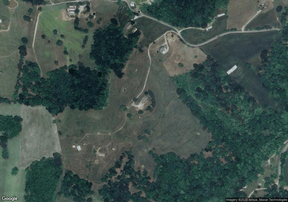
Map
Nearby Homes
- 2200 Clouds Rd
- 135 Milo Cir
- 108 Serrento Ln
- 211 Peanut Ln
- 407 Serrento Ln
- 649 Baldwin Hill Rd
- 196 Poplar Dr
- Lot 492 Citron
- 1161 Essary Rd
- 153 Creed Way
- 8 Grandview Ln
- 7 Grandview Ln
- 6 Grandview Ln
- 510 S Broad St (Commercial 3 9 Acre)
- 156 El Sara Dr
- 402 S Broad St ( 53 Acre)
- 275 Grandview Ln
- 116 Magnolia Ln
- Lot 2 Smokey Quartz Blvd
- 202 N Broad St