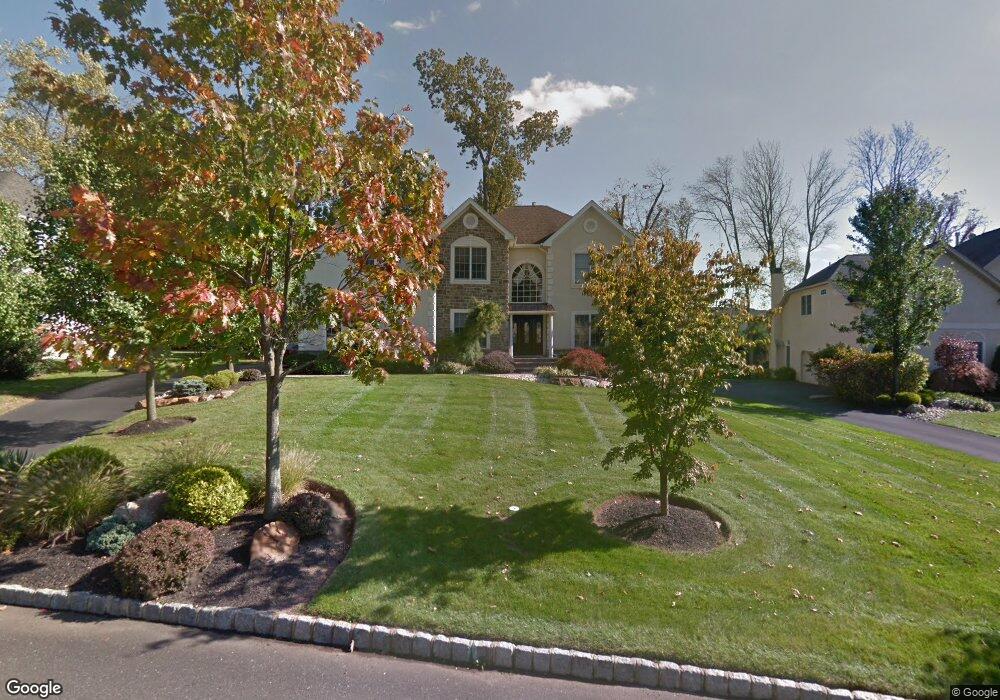
3813 Forest Hill Dr Furlong, PA 18925
Estimated Value: $961,000 - $1,071,000
4
Beds
3
Baths
3,285
Sq Ft
$304/Sq Ft
Est. Value
About This Home
This home is located at 3813 Forest Hill Dr, Furlong, PA 18925 and is currently estimated at $998,247, approximately $303 per square foot. 3813 Forest Hill Dr is a home located in Bucks County with nearby schools including Bridge Valley Elementary School, Holicong Middle School, and Central Bucks High School - East.
Ownership History
Date
Name
Owned For
Owner Type
Purchase Details
Closed on
Aug 20, 2002
Sold by
Toll Pa Lp
Bought by
Wolk David M and Shaffer Kimberly J
Current Estimated Value
Home Financials for this Owner
Home Financials are based on the most recent Mortgage that was taken out on this home.
Original Mortgage
$220,000
Interest Rate
6.09%
Create a Home Valuation Report for This Property
The Home Valuation Report is an in-depth analysis detailing your home's value as well as a comparison with similar homes in the area
Home Values in the Area
Average Home Value in this Area
Purchase History
| Date | Buyer | Sale Price | Title Company |
|---|---|---|---|
| Wolk David M | $454,426 | -- |
Source: Public Records
Mortgage History
| Date | Status | Borrower | Loan Amount |
|---|---|---|---|
| Previous Owner | Wolk David M | $220,000 |
Source: Public Records
Tax History Compared to Growth
Tax History
| Year | Tax Paid | Tax Assessment Tax Assessment Total Assessment is a certain percentage of the fair market value that is determined by local assessors to be the total taxable value of land and additions on the property. | Land | Improvement |
|---|---|---|---|---|
| 2025 | $9,743 | $59,840 | $11,520 | $48,320 |
| 2024 | $9,743 | $59,840 | $11,520 | $48,320 |
| 2023 | $9,300 | $59,840 | $11,520 | $48,320 |
| 2022 | $9,300 | $59,840 | $11,520 | $48,320 |
| 2021 | $9,188 | $59,840 | $11,520 | $48,320 |
| 2020 | $9,188 | $59,840 | $11,520 | $48,320 |
| 2019 | $9,129 | $59,840 | $11,520 | $48,320 |
| 2018 | $9,129 | $59,840 | $11,520 | $48,320 |
| 2017 | $9,054 | $59,840 | $11,520 | $48,320 |
| 2016 | $9,144 | $59,840 | $11,520 | $48,320 |
| 2015 | -- | $59,840 | $11,520 | $48,320 |
| 2014 | -- | $59,840 | $11,520 | $48,320 |
Source: Public Records
Map
Nearby Homes
- 3657 Powder Horn Dr
- 3772 Powder Horn Dr
- 1948 Forest Grove Rd
- 2209 Swamp Rd
- lot #3 next to 3739 York Rd
- 2479 Wheatfield Ln
- 2080 Bedfordshire Rd
- 0 Old York Rd Unit PABU2103356
- 4549 Lower Mountain Rd
- 3889 Robin Rd
- 106 Saddle Dr
- 1908 Durham Rd
- 4448 Lower Mountain Rd
- 2728 Red Gate Dr
- 2372 Dorchester St W Unit W
- 3017 Dorchester St E Unit 125
- 3060 Cloverly Dr
- 377 Spring Meadow Cir
- 2443 Sugar Bottom Rd
- 2880 Snake Hill Rd
- 3817 Forest Hill Dr
- 3809 Forest Hill Dr
- 3834 Forest Hill Dr
- 3821 Forest Hill Dr
- 3805 Forest Hill Dr
- 3814 Forest Hill Dr
- 3808 Forest Hill Dr
- 3818 Forest Hill Dr
- 3820 Taylortown Rd
- 3822 Forest Hill Dr
- 3824 Taylortown Rd
- 3816 Taylortown Rd
- 3825 Forest Hill Dr
- 3801 Forest Hill Dr
- 3802 Forest Hill Dr
- 2251 Red Barn Dr
- 3828 Taylortown Rd
- 3812 Taylortown Rd
- 3797 Forest Hill Dr
- 3829 Forest Hill Dr