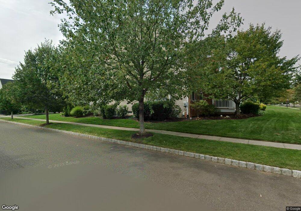
3816 Stockton Rd Furlong, PA 18925
Estimated Value: $1,059,019 - $1,209,000
4
Beds
4
Baths
4,868
Sq Ft
$228/Sq Ft
Est. Value
About This Home
This home is located at 3816 Stockton Rd, Furlong, PA 18925 and is currently estimated at $1,110,255, approximately $228 per square foot. 3816 Stockton Rd is a home located in Bucks County with nearby schools including Bridge Valley Elementary School, Holicong Middle School, and Central Bucks High School - East.
Ownership History
Date
Name
Owned For
Owner Type
Purchase Details
Closed on
Mar 27, 2007
Sold by
Orleans At Windsor Square Lp
Bought by
Stadelmaier Michael J and Stadelmaier Cindy
Current Estimated Value
Home Financials for this Owner
Home Financials are based on the most recent Mortgage that was taken out on this home.
Original Mortgage
$535,500
Outstanding Balance
$325,555
Interest Rate
6.25%
Mortgage Type
Purchase Money Mortgage
Estimated Equity
$784,700
Create a Home Valuation Report for This Property
The Home Valuation Report is an in-depth analysis detailing your home's value as well as a comparison with similar homes in the area
Home Values in the Area
Average Home Value in this Area
Purchase History
| Date | Buyer | Sale Price | Title Company |
|---|---|---|---|
| Stadelmaier Michael J | $669,405 | First American Title Insuran |
Source: Public Records
Mortgage History
| Date | Status | Borrower | Loan Amount |
|---|---|---|---|
| Open | Stadelmaier Michael J | $535,500 |
Source: Public Records
Tax History Compared to Growth
Tax History
| Year | Tax Paid | Tax Assessment Tax Assessment Total Assessment is a certain percentage of the fair market value that is determined by local assessors to be the total taxable value of land and additions on the property. | Land | Improvement |
|---|---|---|---|---|
| 2025 | $10,063 | $61,810 | $9,760 | $52,050 |
| 2024 | $10,063 | $61,810 | $9,760 | $52,050 |
| 2023 | $9,722 | $61,810 | $9,760 | $52,050 |
| 2022 | $9,606 | $61,810 | $9,760 | $52,050 |
| 2021 | $9,491 | $61,810 | $9,760 | $52,050 |
| 2020 | $9,491 | $61,810 | $9,760 | $52,050 |
| 2019 | $9,429 | $61,810 | $9,760 | $52,050 |
| 2018 | $9,429 | $61,810 | $9,760 | $52,050 |
| 2017 | $9,352 | $61,810 | $9,760 | $52,050 |
| 2016 | $9,445 | $61,810 | $9,760 | $52,050 |
| 2015 | -- | $61,810 | $9,760 | $52,050 |
| 2014 | -- | $61,810 | $9,760 | $52,050 |
Source: Public Records
Map
Nearby Homes
- 3657 Powder Horn Dr
- 3772 Powder Horn Dr
- 1948 Forest Grove Rd
- 2209 Swamp Rd
- 0 Old York Rd Unit PABU2103356
- lot #3 next to 3739 York Rd
- 2294 Staffordshire Rd
- 2059 Buckinghamshire Rd
- 4549 Lower Mountain Rd
- 3889 Robin Rd
- 3200 Brookside Dr
- 4448 Lower Mountain Rd
- 1908 Durham Rd
- 3138 E Brighton St Unit 37
- 4482 Lower Mountain Rd
- 106 Saddle Dr
- 2484 N Whittmore St
- 371 Countryside Cir
- 377 Spring Meadow Cir
- 2728 Red Gate Dr
- 0 Stockton Rd Unit 5648680
- 0 Stockton Rd Unit 1008970964
- 3820 Stockton Rd
- 2177 Red Barn Dr
- 2175 Red Barn Dr
- 3824 Stockton Rd
- 3830 Springtown Rd
- 2190 Red Barn Dr
- 2181 Red Barn Dr
- 2192 Red Barn Dr
- 3828 Stockton Rd
- 3832 Springtown Rd
- 3812 Stockton Rd
- 2187 Red Barn Dr
- 3832 Stockton Rd
- 3834 Springtown Rd
- 3808 Stockton Rd
- 2194 Red Barn Dr
- 2196 Red Barn Dr
- 3836 Springtown Rd