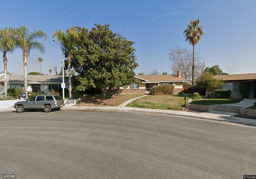
3818 Kaibab Ave Bakersfield, CA 93306
College Heights NeighborhoodEstimated Value: $351,902 - $370,000
4
Beds
2
Baths
1,852
Sq Ft
$196/Sq Ft
Est. Value
About This Home
This home is located at 3818 Kaibab Ave, Bakersfield, CA 93306 and is currently estimated at $362,226, approximately $195 per square foot. 3818 Kaibab Ave is a home located in Kern County with nearby schools including Colonel Howard Nichols Elementary School, Chipman Junior High School, and Highland High School.
Ownership History
Date
Name
Owned For
Owner Type
Purchase Details
Closed on
Jul 21, 2022
Sold by
Phillips Allan B and Phillips Ann E
Bought by
Phillips Family Trust and Phillips
Current Estimated Value
Purchase Details
Closed on
May 15, 1998
Sold by
Hanes William T and Hanes Mary L
Bought by
Phillips Allan B and Phillips Ann E S
Home Financials for this Owner
Home Financials are based on the most recent Mortgage that was taken out on this home.
Original Mortgage
$60,000
Interest Rate
7.17%
Create a Home Valuation Report for This Property
The Home Valuation Report is an in-depth analysis detailing your home's value as well as a comparison with similar homes in the area
Home Values in the Area
Average Home Value in this Area
Purchase History
| Date | Buyer | Sale Price | Title Company |
|---|---|---|---|
| Phillips Family Trust | -- | Balat Meera N | |
| Phillips Allan B | $99,000 | Stewart Title |
Source: Public Records
Mortgage History
| Date | Status | Borrower | Loan Amount |
|---|---|---|---|
| Previous Owner | Phillips Allan B | $60,000 |
Source: Public Records
Tax History
| Year | Tax Paid | Tax Assessment Tax Assessment Total Assessment is a certain percentage of the fair market value that is determined by local assessors to be the total taxable value of land and additions on the property. | Land | Improvement |
|---|---|---|---|---|
| 2025 | $2,512 | $156,451 | $55,869 | $100,582 |
| 2024 | $2,457 | $153,384 | $54,774 | $98,610 |
| 2023 | $2,457 | $150,377 | $53,700 | $96,677 |
| 2022 | $2,396 | $147,430 | $52,648 | $94,782 |
| 2021 | $2,288 | $144,540 | $51,616 | $92,924 |
| 2020 | $2,288 | $143,059 | $51,087 | $91,972 |
| 2019 | $2,208 | $143,059 | $51,087 | $91,972 |
| 2018 | $2,158 | $137,505 | $49,104 | $88,401 |
| 2017 | $2,145 | $134,810 | $48,142 | $86,668 |
| 2016 | $1,974 | $132,168 | $47,199 | $84,969 |
| 2015 | $1,961 | $130,184 | $46,491 | $83,693 |
| 2014 | $1,898 | $127,635 | $45,581 | $82,054 |
Source: Public Records
Map
Nearby Homes
- 4001 Harvard Dr
- 4019 Columbus St
- 3623 Redlands Dr
- 3700 Redlands Dr
- 3201 Apollo St
- 3221 Colgate Ln
- 3724 Harvard Dr
- 3800 Columbus St
- 3804 Candlewood Dr
- 4121 Coronado Ave
- 4205 Coronado Ave
- 3616 Century Dr
- 3413 Redlands Dr
- 3319 Maywood Dr Unit 1
- 3816 Miami St
- 3708 Harmony Dr
- 2801 Oswell St
- 3516 Harmony Dr
- 3212 Sunview Dr
- 3313 Century Dr
- 4019 Harvard Dr
- 3812 Kaibab Ave
- 3813 University Ave
- 4106 Columbus St
- 3807 University Ave
- 4100 Columbus St
- 4013 Harvard Dr
- 4112 Columbus St
- 3806 Kaibab Ave
- 3801 University Ave
- 4028 Columbus St
- 4018 Harvard Dr
- 4116 Columbus St
- 4007 Harvard Dr
- 3800 Kaibab Ave
- 3725 University Ave
- 4024 Columbus St
- 3831 Purdue Dr
- 4020 Columbus St
Your Personal Tour Guide
Ask me questions while you tour the home.