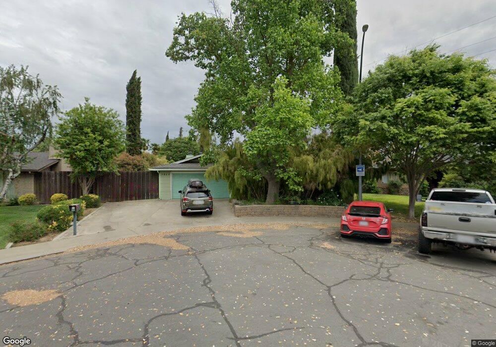
3824 Cairns Way Modesto, CA 95356
Central Modesto NeighborhoodEstimated Value: $263,000 - $429,131
3
Beds
2
Baths
1,186
Sq Ft
$310/Sq Ft
Est. Value
About This Home
This home is located at 3824 Cairns Way, Modesto, CA 95356 and is currently estimated at $368,033, approximately $310 per square foot. 3824 Cairns Way is a home located in Stanislaus County with nearby schools including Woodrow Elementary School, Somerset Middle School, and Grace M. Davis High School.
Ownership History
Date
Name
Owned For
Owner Type
Purchase Details
Closed on
Jan 3, 2003
Sold by
Renskowski Deborah Lynn
Bought by
Westlake Ralph A and Westlake Deborah Lynn
Current Estimated Value
Home Financials for this Owner
Home Financials are based on the most recent Mortgage that was taken out on this home.
Original Mortgage
$77,000
Interest Rate
5.96%
Create a Home Valuation Report for This Property
The Home Valuation Report is an in-depth analysis detailing your home's value as well as a comparison with similar homes in the area
Home Values in the Area
Average Home Value in this Area
Purchase History
| Date | Buyer | Sale Price | Title Company |
|---|---|---|---|
| Westlake Ralph A | -- | Stewart Title Of Modesto |
Source: Public Records
Mortgage History
| Date | Status | Borrower | Loan Amount |
|---|---|---|---|
| Closed | Westlake Ralph A | $77,000 |
Source: Public Records
Tax History Compared to Growth
Tax History
| Year | Tax Paid | Tax Assessment Tax Assessment Total Assessment is a certain percentage of the fair market value that is determined by local assessors to be the total taxable value of land and additions on the property. | Land | Improvement |
|---|---|---|---|---|
| 2025 | $1,745 | $157,885 | $51,667 | $106,218 |
| 2024 | $1,713 | $154,790 | $50,654 | $104,136 |
| 2023 | $1,603 | $151,756 | $49,661 | $102,095 |
| 2022 | $1,537 | $148,782 | $48,688 | $100,094 |
| 2021 | $1,508 | $145,866 | $47,734 | $98,132 |
| 2020 | $1,486 | $144,371 | $47,245 | $97,126 |
| 2019 | $1,457 | $141,541 | $46,319 | $95,222 |
| 2018 | $1,427 | $138,766 | $45,411 | $93,355 |
| 2017 | $1,392 | $136,046 | $44,521 | $91,525 |
| 2016 | $1,382 | $133,380 | $43,649 | $89,731 |
| 2015 | $1,361 | $131,378 | $42,994 | $88,384 |
| 2014 | $1,528 | $144,420 | $42,152 | $102,268 |
Source: Public Records
Map
Nearby Homes
- 4104 Ogden Ct
- 3701 Colonial Dr Unit 156
- 3701 Colonial Dr Unit 235
- 3701 Colonial Dr Unit 68
- 3701 Colonial Dr Unit 23
- 3700 Tully Rd Unit 57
- 3700 Tully Rd Unit 60
- 3808 Thornbury Way
- 1409 Carma Way
- 1400 Villette Ct
- 4028 Lamarck Ave
- 1459 Standiford Ave Unit 56
- 1459 Standiford Ave Unit 7
- 3404 Baron Ave
- 313 W Union Ave
- 3600 Columbine Dr Unit 6
- 3808 Longbridge Dr
- 325 Standiford Ave Unit 52
- 325 Standiford Ave Unit 40
- 325 Standiford Ave Unit 32
- 940 Mango Dr
- 3831 Guava Ct
- 3828 Cairns Way
- 944 Mango Dr
- 3832 Cairns Way
- 3830 Guava Ct
- 3835 Guava Ct
- 945 Mango Dr
- 948 Mango Dr
- 3836 Cairns Way
- 3833 Cairns Way
- 3839 Guava Ct
- 3834 Guava Ct
- 3837 Cairns Way
- 3828 Wesson Ranch Rd
- 952 Mango Dr
- 3838 Guava Ct
- 3832 Wesson Ranch Rd
- 3841 Cairns Way
- 3836 Wesson Ranch Rd