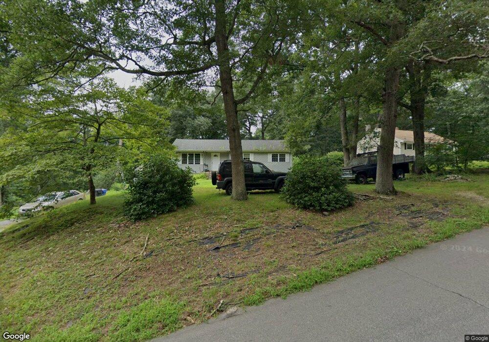
383 Squaw Rock Rd Moosup, CT 06354
Estimated Value: $308,000 - $319,000
3
Beds
1
Bath
1,060
Sq Ft
$294/Sq Ft
Est. Value
About This Home
This home is located at 383 Squaw Rock Rd, Moosup, CT 06354 and is currently estimated at $311,362, approximately $293 per square foot. 383 Squaw Rock Rd is a home located in Windham County with nearby schools including Plainfield Memorial School, Plainfield Central Middle School, and Plainfield High School.
Ownership History
Date
Name
Owned For
Owner Type
Purchase Details
Closed on
Jul 25, 2005
Sold by
Skut Linda
Bought by
Pracukowski Steven
Current Estimated Value
Home Financials for this Owner
Home Financials are based on the most recent Mortgage that was taken out on this home.
Original Mortgage
$95,000
Outstanding Balance
$49,367
Interest Rate
5.59%
Estimated Equity
$261,995
Create a Home Valuation Report for This Property
The Home Valuation Report is an in-depth analysis detailing your home's value as well as a comparison with similar homes in the area
Home Values in the Area
Average Home Value in this Area
Purchase History
| Date | Buyer | Sale Price | Title Company |
|---|---|---|---|
| Pracukowski Steven | $40,000 | -- | |
| Pracukowski Steven | $40,000 | -- |
Source: Public Records
Mortgage History
| Date | Status | Borrower | Loan Amount |
|---|---|---|---|
| Closed | Pracukowski Steven | $36,000 | |
| Open | Pracukowski Steven | $95,000 | |
| Closed | Pracukowski Steven | $95,000 | |
| Previous Owner | Pracukowski Steven | $45,000 |
Source: Public Records
Tax History Compared to Growth
Tax History
| Year | Tax Paid | Tax Assessment Tax Assessment Total Assessment is a certain percentage of the fair market value that is determined by local assessors to be the total taxable value of land and additions on the property. | Land | Improvement |
|---|---|---|---|---|
| 2024 | $3,573 | $155,030 | $32,340 | $122,690 |
| 2023 | $3,556 | $155,030 | $32,340 | $122,690 |
| 2022 | $4,523 | $97,480 | $27,960 | $69,520 |
| 2021 | $2,996 | $97,480 | $27,960 | $69,520 |
| 2020 | $2,976 | $97,480 | $27,960 | $69,520 |
| 2019 | $2,976 | $97,480 | $27,960 | $69,520 |
| 2018 | $2,930 | $97,480 | $27,960 | $69,520 |
| 2017 | $3,013 | $94,110 | $27,960 | $66,150 |
| 2016 | $2,913 | $94,110 | $27,960 | $66,150 |
| 2015 | $2,838 | $94,110 | $27,960 | $66,150 |
| 2014 | $2,838 | $94,110 | $27,960 | $66,150 |
Source: Public Records
Map
Nearby Homes
- 331 Pond Hill Rd
- 392 Moosup Pond Rd Unit 394
- 8 Juniper Ln
- 31 Bob White Way
- 279 Moosup Pond Rd
- 277 Moosup Pond Rd
- 170 Lake St
- 14 Collelo Ave
- 19 Florence St
- 11 Stone House Dr
- 50 High St
- 10 Ralph St
- 15 Belair Dr
- 80 Lake St
- 678 Squaw Rock Rd
- 546 N Main St
- 30 Brunswick Ave
- 12 Walas Rd
- 6 Grace Ln
- 6 Ward Ln
- 389 Squaw Rock Rd
- 377 Squaw Rock Rd
- 371 Squaw Rock Rd
- 372 Squaw Rock Rd
- 397 Squaw Rock Rd
- 367 Squaw Rock Rd
- 362 Squaw Rock Rd
- 393 Squaw Rock Rd
- 0 Squaw Rock Rd Unit 170128675
- 0 Squaw Rock Rd Unit E216187
- 0 Squaw Rock Rd Unit E224661
- 0 Squaw Rock Rd Unit E226097
- 0 Squaw Rock Rd Unit E226912
- 0 Squaw Rock Rd Unit E232247
- 0 Squaw Rock Rd Unit E241895
- 0 Squaw Rock Rd Unit E248426
- 0 Squaw Rock Rd Unit E250098
- 000 Squaw Rock Rd
- 0 Squaw Rock Rd Unit E253056
- 00 Squaw Rock Rd