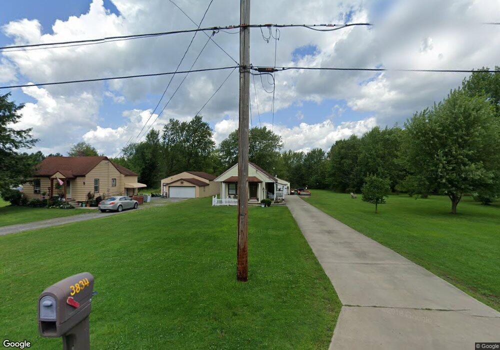
3834 Riblett Rd Youngstown, OH 44515
Austintown NeighborhoodEstimated Value: $111,474 - $165,000
3
Beds
1
Bath
1,030
Sq Ft
$128/Sq Ft
Est. Value
About This Home
This home is located at 3834 Riblett Rd, Youngstown, OH 44515 and is currently estimated at $131,369, approximately $127 per square foot. 3834 Riblett Rd is a home located in Mahoning County with nearby schools including Austintown Elementary School, Austintown Intermediate School, and Austintown Middle School.
Ownership History
Date
Name
Owned For
Owner Type
Purchase Details
Closed on
Nov 5, 2018
Bought by
Moynihan Sarah
Current Estimated Value
Home Financials for this Owner
Home Financials are based on the most recent Mortgage that was taken out on this home.
Interest Rate
4.83%
Purchase Details
Closed on
Dec 15, 2017
Bought by
Frederick E Wait
Home Financials for this Owner
Home Financials are based on the most recent Mortgage that was taken out on this home.
Interest Rate
3.93%
Create a Home Valuation Report for This Property
The Home Valuation Report is an in-depth analysis detailing your home's value as well as a comparison with similar homes in the area
Home Values in the Area
Average Home Value in this Area
Purchase History
| Date | Buyer | Sale Price | Title Company |
|---|---|---|---|
| Moynihan Sarah | $41,500 | -- | |
| Frederick E Wait | -- | -- |
Source: Public Records
Mortgage History
| Date | Status | Borrower | Loan Amount |
|---|---|---|---|
| Closed | Moynihan Sarah | -- | |
| Previous Owner | Moynihan Sarah | -- |
Source: Public Records
Tax History Compared to Growth
Tax History
| Year | Tax Paid | Tax Assessment Tax Assessment Total Assessment is a certain percentage of the fair market value that is determined by local assessors to be the total taxable value of land and additions on the property. | Land | Improvement |
|---|---|---|---|---|
| 2024 | $1,162 | $25,350 | $3,170 | $22,180 |
| 2023 | $1,144 | $25,350 | $3,170 | $22,180 |
| 2022 | $1,200 | $21,310 | $2,620 | $18,690 |
| 2021 | $1,200 | $21,310 | $2,620 | $18,690 |
| 2020 | $1,205 | $21,310 | $2,620 | $18,690 |
| 2019 | $1,023 | $16,440 | $2,280 | $14,160 |
| 2018 | $464 | $16,440 | $2,280 | $14,160 |
| 2017 | $461 | $16,440 | $2,280 | $14,160 |
| 2016 | $497 | $16,960 | $1,900 | $15,060 |
| 2015 | $482 | $16,960 | $1,900 | $15,060 |
| 2014 | $484 | $16,960 | $1,900 | $15,060 |
| 2013 | $479 | $16,960 | $1,900 | $15,060 |
Source: Public Records
Map
Nearby Homes
- 4028 Lanterman Rd
- 0 W Liberty Unit 5153649
- 2700 W Liberty St
- 2442 Oregon Ave
- 2416 Oregon Ave
- 2555 Walnut St
- 212 N Navarre Ave
- W Liberty St Unit LotWP001
- 2453 Eddie St
- 453 N Dunlap Ave
- 460 N Osborn Ave
- 169 Westminster Ave
- 161 N Roanoke Ave
- 98 N Navarre Ave
- 107 N Roanoke Ave
- 104 N Meridian Rd
- 635 N Hazelwood Ave
- 446 N Schenley Ave
- 97 Idlewood Rd
- 2208 Cherry Hill Ave
- 3908 Riblett Rd
- 3828 Riblett Rd
- 3837 Riblett Rd
- 3833 Riblett Rd
- 3841 Riblett Rd
- 3829 Riblett Rd
- 3816 Riblett Rd
- 3825 Riblett Rd
- 3810 Riblett Rd
- 1085 Beaver Dr
- 3798 Riblett Rd
- 3905 Lanterman Rd
- 3853 Lanterman Rd
- 3897 Lanterman Rd
- 3923 Lanterman Rd
- 4030 Riblett Rd
- 3975 Lanterman Rd
- 3851 Lanterman Rd
- 4034 Riblett Rd
- 3733 Riblett Rd