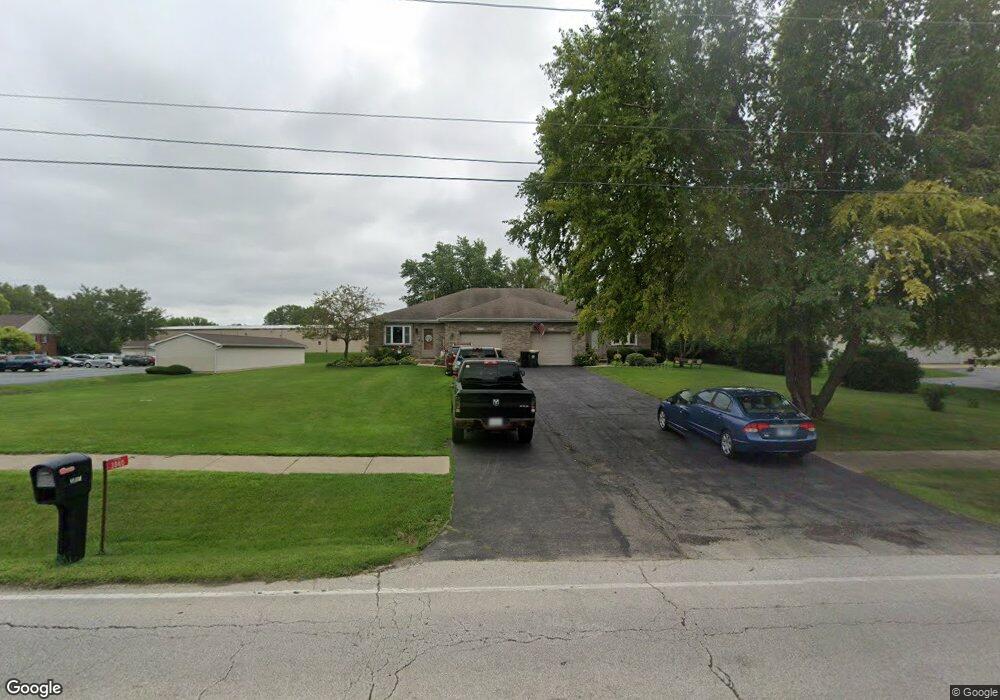
3842 Wolf Rd Unit 1 Oswego, IL 60543
South Oswego NeighborhoodEstimated Value: $289,000 - $321,000
2
Beds
2
Baths
1,174
Sq Ft
$265/Sq Ft
Est. Value
About This Home
This home is located at 3842 Wolf Rd Unit 1, Oswego, IL 60543 and is currently estimated at $311,612, approximately $265 per square foot. 3842 Wolf Rd Unit 1 is a home located in Kendall County with nearby schools including Southbury Elementary School, Traughber Junior High School, and Oswego High School.
Ownership History
Date
Name
Owned For
Owner Type
Purchase Details
Closed on
Jun 30, 1998
Sold by
Heck Robin and Heck Tamara
Bought by
Kobernus James F and Kobernus Karen L
Current Estimated Value
Home Financials for this Owner
Home Financials are based on the most recent Mortgage that was taken out on this home.
Original Mortgage
$90,000
Outstanding Balance
$18,691
Interest Rate
7.17%
Estimated Equity
$292,922
Create a Home Valuation Report for This Property
The Home Valuation Report is an in-depth analysis detailing your home's value as well as a comparison with similar homes in the area
Home Values in the Area
Average Home Value in this Area
Purchase History
| Date | Buyer | Sale Price | Title Company |
|---|---|---|---|
| Kobernus James F | $112,500 | Law Title Insurance Co Inc |
Source: Public Records
Mortgage History
| Date | Status | Borrower | Loan Amount |
|---|---|---|---|
| Open | Kobernus James F | $90,000 |
Source: Public Records
Tax History
| Year | Tax Paid | Tax Assessment Tax Assessment Total Assessment is a certain percentage of the fair market value that is determined by local assessors to be the total taxable value of land and additions on the property. | Land | Improvement |
|---|---|---|---|---|
| 2024 | $6,114 | $86,977 | $19,573 | $67,404 |
| 2023 | $5,270 | $76,295 | $17,169 | $59,126 |
| 2022 | $5,270 | $69,359 | $15,608 | $53,751 |
| 2021 | $5,333 | $67,999 | $15,302 | $52,697 |
| 2020 | $5,260 | $66,666 | $15,002 | $51,664 |
| 2019 | $5,294 | $66,154 | $15,002 | $51,152 |
| 2018 | $4,716 | $59,960 | $13,597 | $46,363 |
| 2017 | $4,538 | $55,263 | $12,532 | $42,731 |
| 2016 | $4,304 | $52,382 | $11,879 | $40,503 |
| 2015 | $4,294 | $50,367 | $11,422 | $38,945 |
| 2014 | -- | $48,430 | $10,983 | $37,447 |
| 2013 | -- | $50,448 | $11,441 | $39,007 |
Source: Public Records
Map
Nearby Homes
- 1451 Vintage Dr
- 3 Orchard Rd
- 123 Orchard Rd
- 2 Orchard Rd
- 1300 Orchard Rd
- 734 Alberta Ave
- 740 Alberta Ave
- 739 Alberta Ave
- 101 Bell Ct
- 401 Bower Ln
- 55 Garfield St
- 816 Colchester Dr
- 226 Piper Glen Ave
- 1444 Vintage Dr
- 202 Piper Glen Ave
- 102 Piper Glen Ave
- 228 Piper Glen Ave
- 215 Willington Way
- 704 Pomfret Ct
- 703 Pomfret Ct
- 3840 Wolf Rd
- 3850 Wolf Rd
- 2 Stonehill Rd
- 6 Stone Hill Rd
- 3933 Wolf Rd
- 6 Stone Hill Rd
- 819 S West St Unit 34
- 3953 Wolf Rd Unit B
- 3953 Wolf Rd
- 3953 Wolf Rd Unit A
- 3953 Wolfs Crossing Rd Unit A
- 3953 Wolf’s Crossing Rd Unit A
- 8 Hawthorne Dr
- 41 Hawthorne Dr
- 37 Hawthorne Dr
- 4024 Us Highway 34
- 7 Stonehill Rd
- 7 Stonehill Rd
- 7 Stonehill Rd
- 14 Stonehill Rd Unit A-B
Your Personal Tour Guide
Ask me questions while you tour the home.