3846 Route 123 N Stoddard, NH 03464
Estimated Value: $432,239 - $563,000
3
Beds
2
Baths
2,235
Sq Ft
$233/Sq Ft
Est. Value
About This Home
This home is located at 3846 Route 123 N, Stoddard, NH 03464 and is currently estimated at $520,060, approximately $232 per square foot. 3846 Route 123 N is a home located in Cheshire County with nearby schools including James Faulkner Elementary School, Mayland Early College High School, and Keene High School.
Ownership History
Date
Name
Owned For
Owner Type
Purchase Details
Closed on
Nov 12, 2010
Sold by
Ireland Nathaniel F and Ireland Helen S
Bought by
Schinler Joanna L and Bodnar Sampson G
Current Estimated Value
Home Financials for this Owner
Home Financials are based on the most recent Mortgage that was taken out on this home.
Original Mortgage
$216,000
Outstanding Balance
$143,094
Interest Rate
4.35%
Mortgage Type
Purchase Money Mortgage
Estimated Equity
$376,966
Create a Home Valuation Report for This Property
The Home Valuation Report is an in-depth analysis detailing your home's value as well as a comparison with similar homes in the area
Home Values in the Area
Average Home Value in this Area
Purchase History
| Date | Buyer | Sale Price | Title Company |
|---|---|---|---|
| Schinler Joanna L | $240,000 | -- |
Source: Public Records
Mortgage History
| Date | Status | Borrower | Loan Amount |
|---|---|---|---|
| Open | Schinler Joanna L | $216,000 |
Source: Public Records
Tax History Compared to Growth
Tax History
| Year | Tax Paid | Tax Assessment Tax Assessment Total Assessment is a certain percentage of the fair market value that is determined by local assessors to be the total taxable value of land and additions on the property. | Land | Improvement |
|---|---|---|---|---|
| 2024 | $4,105 | $349,030 | $106,610 | $242,420 |
| 2023 | $5,779 | $340,320 | $63,110 | $277,210 |
| 2022 | $5,557 | $340,320 | $63,110 | $277,210 |
| 2021 | $5,645 | $340,690 | $63,480 | $277,210 |
| 2020 | $5,502 | $340,410 | $63,200 | $277,210 |
| 2019 | $4,598 | $309,250 | $63,200 | $246,050 |
| 2018 | $3,627 | $267,950 | $57,280 | $210,670 |
| 2016 | $4,017 | $267,990 | $57,320 | $210,670 |
| 2014 | $4,261 | $267,840 | $57,170 | $210,670 |
| 2013 | $4,399 | $279,490 | $66,480 | $213,010 |
Source: Public Records
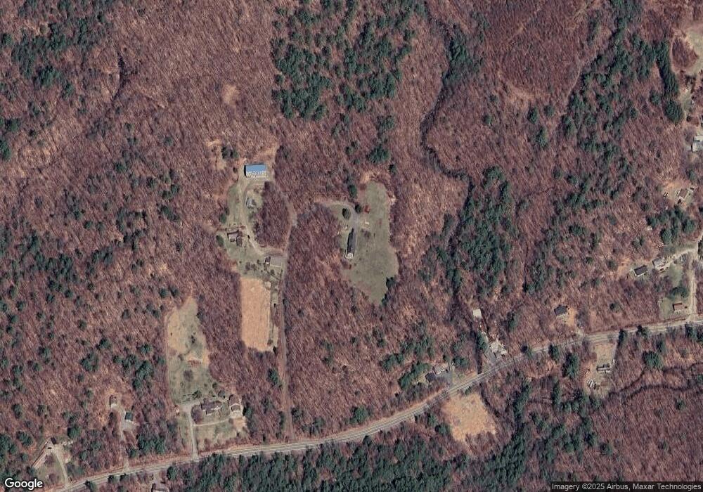
Map
Nearby Homes
- 6 Mill St
- 172 Nh-Rte 123 Route
- 0 Washington Pond Rd Unit 113
- 00 Scenic Dr Unit 22
- 16 Nash Corner Rd
- 67 Lang Rd
- 00 Kennedy Brook Dr Unit 11
- 0 Adams Dr
- 116 Beaver Lake Dr
- 286 Presidential Dr
- 335 Coolidge Dr
- 114 Eva Ln
- 1018 Route 123 N
- 1025 Route 123 N
- 16 Stone Rd
- 61 Old Antrim Rd
- 27 Shadowland Rd
- 32 Blueberry Hill Ln
- 906 Shedd Hill Rd
- 1016 Shedd Hill Rd
- 3780 Route 123 N
- 3780 New Hampshire 123
- 3886 Route 123 N
- 3760 Route 123 N
- 3724 Route 123 N
- 3709 Route 123 N
- 5 Nh Route 123
- 19 Doe Rd
- 3848 Route 123 N
- 18 Nh Route 123
- 5 Doe Rd
- 3595 New Hampshire 123
- 28 Nh Route 123
- 45 Doe Rd
- 71 Doe Rd
- 3644 Route 123 N
- 3596 Route 123 N
- 3595 Route 123 N
- 3594 Route 123 N
- 59 Rte 123